Ingleton Track
12.5 km
distance
1h 30m
Contour time
3.5
difficulty
Unsealed
surface
Scenery
Victoria
The southern Grampians between Hamilton and Dunkeld are the least visited of the Grampians ranges. Most visitors focus...
Road quality
Grade 3.55
Every segment scored on 40+ data signals.
Accessibility
Fully sealed
Best in 4WD. Peak season: Autumn-Spring.
7-day forecast
Moderate difficulty track in the Southern Grampians. Good length and consistent terrain. A well-capable stock 4WD handles this track without drama. One of the better southern Grampians access tracks.
Recommended gear: Recovery boards, Snatch strap.
The road
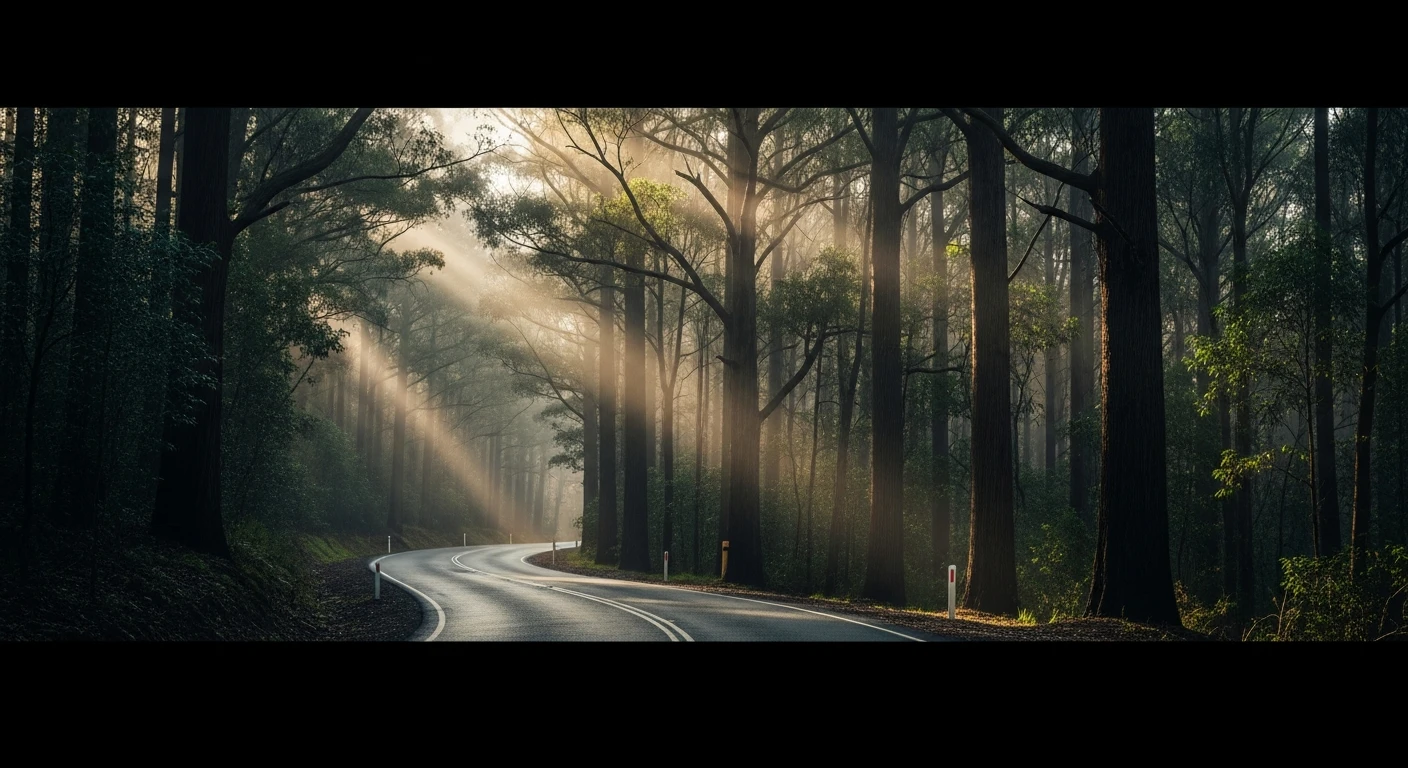
Ingleton Track takes you into the southern Grampians - the quiet end of one of Victoria's most visited mountain ranges. The 12.5-kilometre track south of Hamilton runs through sandstone country that shares the geology of the main Grampians range but receives almost none of its visitor traffic. The terrain is open forest over folded Devonian sandstone, with the track following ridgelines that give views toward the western range. The difficulty is moderate at Grade 3, making this accessible to most well-prepared stock 4WDs. The southern Grampians have a different quality to the central range around Halls Gap - drier, quieter, and with fewer developed walking tracks. The Royal Mail Hotel in Dunkeld at the base of the southern range has one of the better restaurant gardens in regional Victoria and provides a satisfying contrast between the bush track and a properly set table.
Ingleton Track takes you into the southern Grampians - the quiet end of one of Victoria's most visited mountain ranges.
Why this road

The region
The southern Grampians between Hamilton and Dunkeld are the least visited of the Grampians ranges. Most visitors focus on Halls Gap and the central range, leaving the southern end quiet. The Ingleton Track takes you into the sandstone country that makes the Grampians distinctive - folded Devonian sandstone creating vertical cliff faces and the cascading waterfalls visible from the main range roads.

Before you go
Fuel in Hamilton or Dunkeld. Good year-round track in dry conditions. Standard recovery kit appropriate. The southern Grampians can receive significant rainfall in winter - check conditions.
See a routing error?
Flag itWorth stopping for
Dunkeld, Victoria
One of Victoria's best food destinations - Royal Mail Hotel's gardens and restaurant are extraordinary in the Grampians backdrop. Worth the drive from the Ingleton Track end.
Grampians National Park northern entry
The central Grampians are 60 minutes north - Reeds Lookout, the Balconies (Jaws of Death) and the Pinnacle walk are among Victoria's best day walks.
Route
Start
Southern Grampians, Hamilton region
End
Ingleton Track end
Gallery

More roads like this