Maleny Stanley River Road
18 km
distance
22 min
Contour time
8.0
avg score
Sealed
surface
Scenery
Queensland
Maleny sits on the Blackall Range above the Sunshine Coast, looking out to the Glass House Mountains to the north. The...
Road quality
8.0 RQS
Strong. Above average on most quality signals.
Accessibility
Fully sealed
Best in Sports car. Peak season: Year-round.
7-day forecast
Good paved surface through the Sunshine Coast hinterland with consistent corner loading. Not as tight as the Dorrigo or Atherton roads but very satisfying as a rhythm road. Sports car or motorbike ideal. Light traffic except on market days in Maleny.
Scored 8.0/10 by Contour's road quality algorithm across curviness, surface, elevation and traffic. Best suited for sports car drivers.
The road
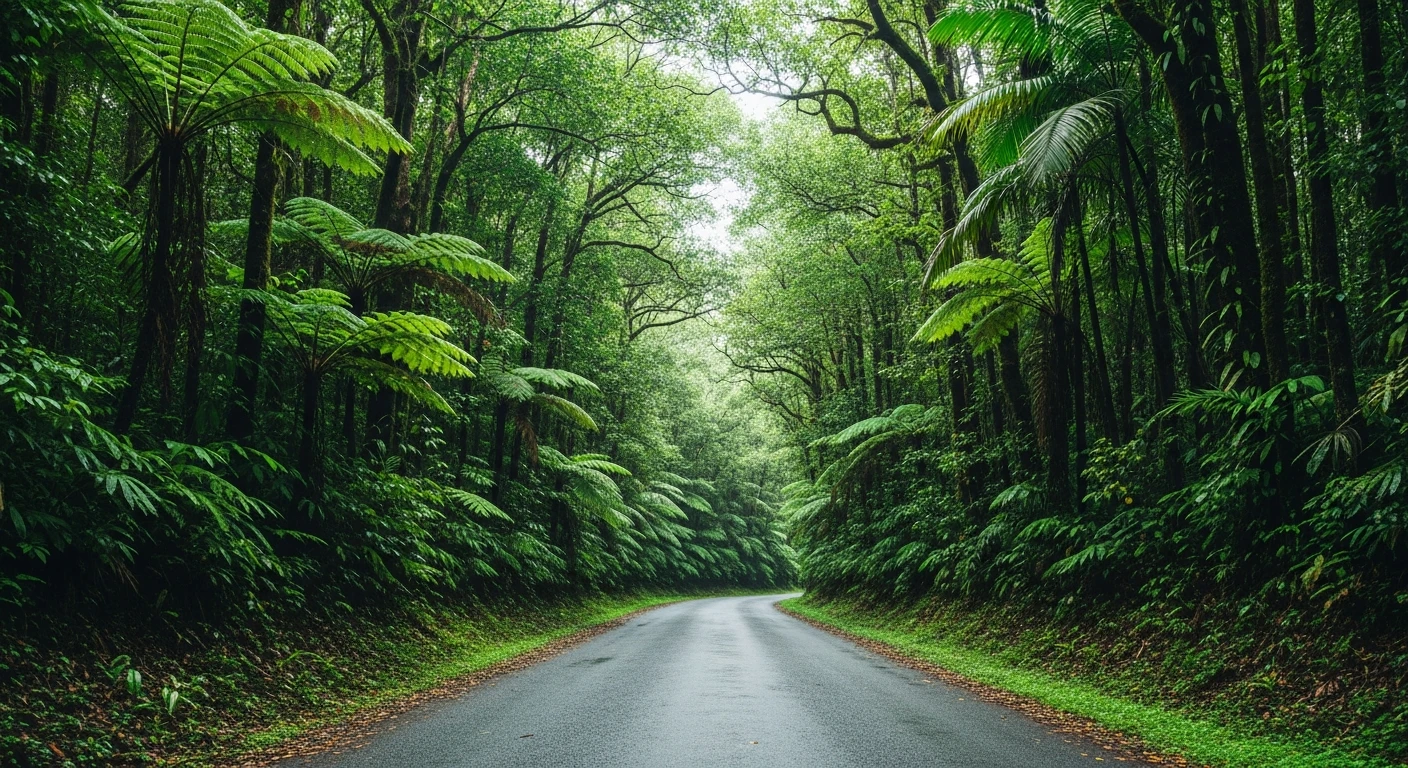
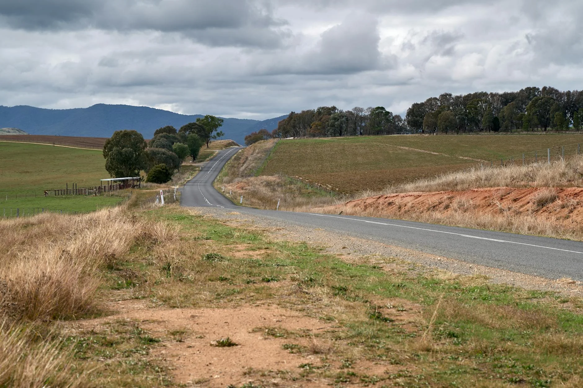
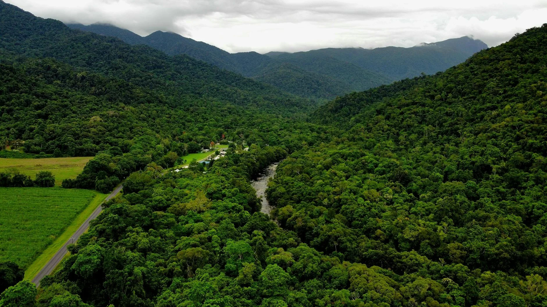
Maleny Stanley River Road is 18 kilometres of the Sunshine Coast hinterland at its most satisfying - a sealed back road from Maleny through rolling ridges and dairy country to Woodford, with the Glass House Mountains visible on the northern horizon. The road drops from the Blackall Range through the Stanley River catchment on a smooth surface with consistent corners. This is not a dramatic escarpment road - the elevation change is moderate and the corners are rhythmic rather than tight. What makes it worth driving is the quality of the landscape and the almost total absence of trucks. Maleny itself has become a genuine destination town with a strong community market and the Mary Cairncross Scenic Reserve - 52 hectares of surviving Blackall Range subtropical rainforest that gives a sense of what the whole range looked like before clearing. The drive is best combined with a market-day morning in Maleny followed by the descent to Woodford.
Why this road
The region
Maleny sits on the Blackall Range above the Sunshine Coast, looking out to the Glass House Mountains to the north. The Maleny area is known for its dairy farms, community market and the remnant subtropical rainforest in the Mary Cairncross Scenic Reserve. The road to Woodford drops from the range through the Stanley River catchment.
Before you go
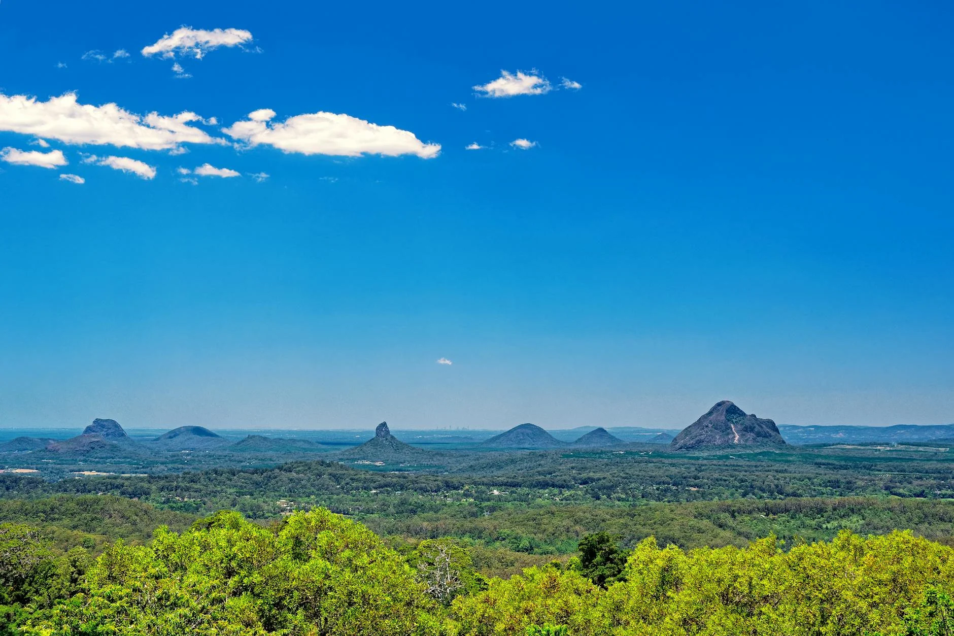
Fuel in Maleny or Woodford. Road is sealed throughout and open year-round. Light to moderate traffic. Market day at Maleny (Saturdays) brings more traffic. The Glass House Mountains are visible on the approach to Woodford on clear days.
See a routing error?
Flag itWorth stopping for
Mary Cairncross Scenic Reserve
52 hectares of subtropical rainforest on the edge of Maleny - a remarkable survival of the original Blackall Range rainforest, with a cafe and short walking tracks.
Glass House Mountains
The volcanic plugs are visible from the road north of Woodford and accessible via several walking tracks 20 minutes away.
Route
Start
Maleny
End
Woodford
Gallery
More roads like this