Gibb River Road
660 km
distance
33h
Contour time
3.5
avg score
Unsealed
surface
Scenery
Western Australia
The Kimberley occupies the far northwest corner of Australia - roughly 420,000 square kilometres of cattle stations,...
Road quality
3.5 RQS
Every segment scored on 40+ data signals.
Accessibility
Fully sealed
Best in 4WD. Peak season: May-October.
7-day forecast
The Gibb is accessible to any well-prepared high-clearance 4WD in the dry season. Corrugations can be severe by mid-season. Trailers are possible but add difficulty at water crossings and on the corrugated sections. The detour tracks to gorges like Manning and Bell are shorter but harder - Grade 3-4.
Scored 3.5/10 by Contour's road quality algorithm across curviness, surface, elevation and traffic. Best suited for 4wd drivers.
The road
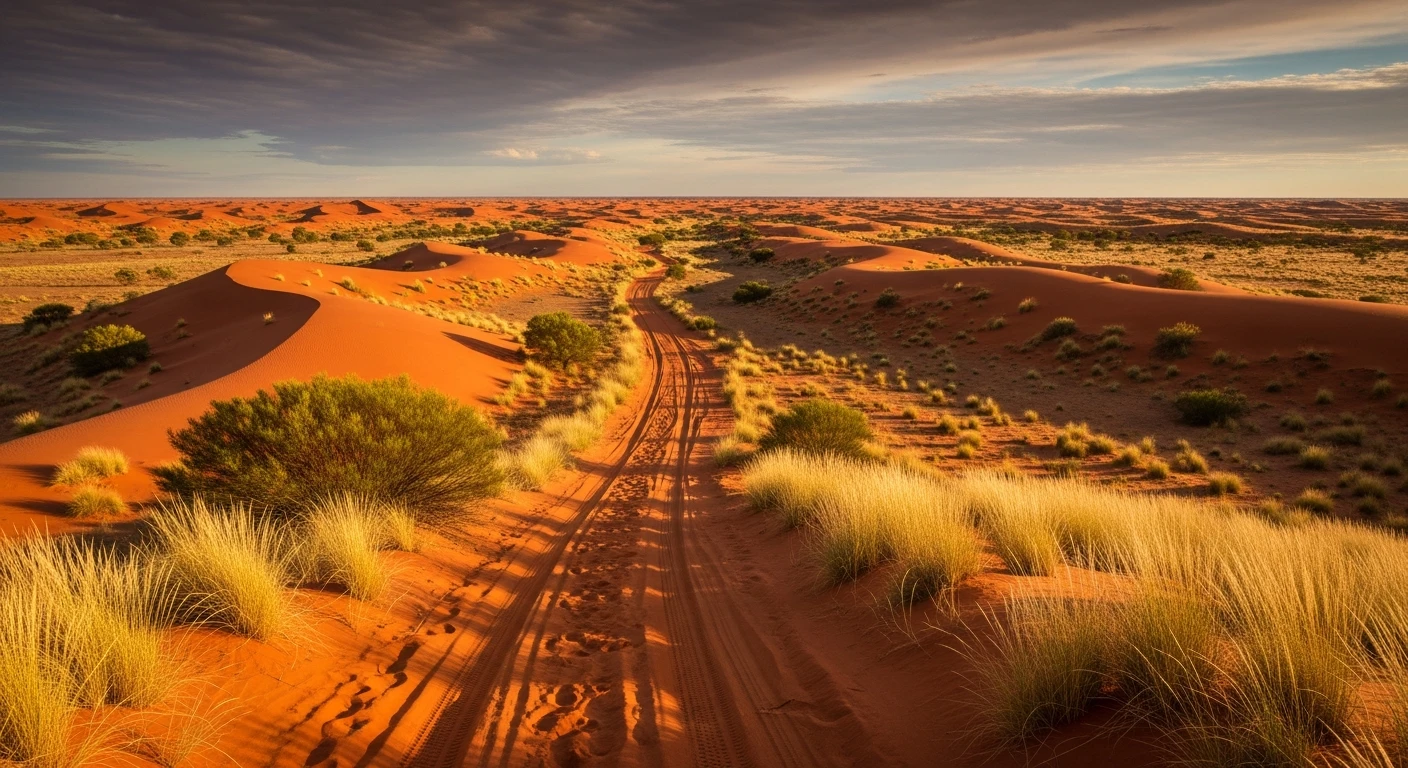
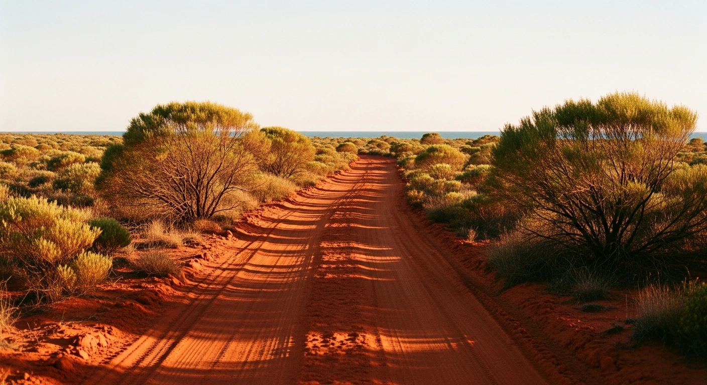
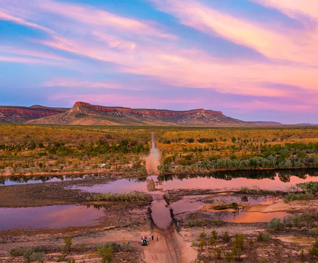
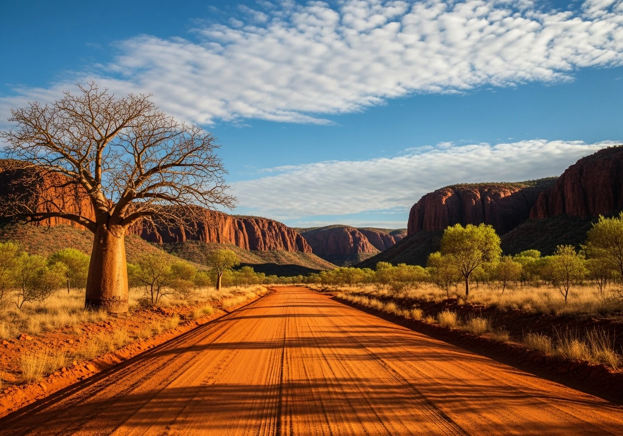
The Gibb River Road is the definitive Kimberley drive. It cuts 660 kilometres through the ancient Kimberley plateau from Derby on the west coast to the Victoria Highway near Kununurra - a landscape of red gorges, boab trees, tropical savannah and cattle stations so large they function as small towns. The road itself is unsealed red dirt for almost its entire length, with the condition varying from decent graded surface to heavy corrugations depending on where you are in the season and when it was last graded. The gorge detour tracks off the main road are the reason people come: Manning Gorge requires a creek crossing and a 2km walk, Bell Gorge has a three-tiered waterfall, Galvans Gorge is roadside with a plunge pool. El Questro Wilderness Park sits at the eastern end with its own gorge system and thermal springs. Home Valley Station mid-route provides fuel, accommodation and food. The road is most famous for what surrounds it - the Kimberley is one of the most geologically ancient landscapes on earth, with banded ironstone and sandstone formations that predate terrestrial life. The May to October dry season window is strict. The wet season turns the Gibb into a series of flooded creek crossings and the road closes.
The Gibb River Road is the definitive Kimberley drive.
Why this road
The region
The Kimberley occupies the far northwest corner of Australia - roughly 420,000 square kilometres of cattle stations, national parks, gorges and coastline with fewer than 40,000 permanent residents. Derby is the western gateway, a tidal port town built on the King Sound mudflats. Kununurra at the eastern end is larger, with the Ord River Irrigation Scheme providing fruit and grain farming around the edges of the wilderness. The only towns on the Gibb itself are the stations - Home Valley, Mt Barnett Roadhouse and Ellenbrae.

History
The Gibb River Road was built in the 1960s as a beef road - a government-funded route to allow cattle to be trucked rather than walked to the coast. Before the road, cattle were driven on foot along the Kimberley stations to waiting ships at Wyndham and Derby - a journey that could take months.
Before you go
Drive only in the dry season - May to October. The wet season floods the road and makes it impassable. Fuel at Derby, Mt Barnett Roadhouse (Mt House), Imintji Roadhouse (between the Mt Hart turnoff and Bell Gorge - a key fuel stop), Home Valley Station and El Questro. Carry 20+ litres of extra water. Phone coverage is Telstra patchy throughout - satellite communicator is strongly recommended. Allow 4-6 days to drive the Gibb without rushing the gorge detours. Budget for premium fuel prices at remote roadhouses. The Pentecost River crossing near Home Valley Station is saltwater crocodile country - do not wade to check depth and stay in your vehicle if the water is high.
See a routing error?
Flag itWorth stopping for
Windjana Gorge
A deep gorge cut through the Napier Range limestone, 150km from Derby via the Gibb. Ancient reef fossils in the walls, freshwater crocodiles in the gorge pool.
Home Valley Station
The most complete service point on the Gibb - fuel, food, accommodation, camping and a bar. Worth a night.
Route
Start
Derby
End
Kununurra
Gallery

More roads like this