Rawnsley Park
35 km
distance
40 min
Contour time
4.4
avg score
Sealed
surface
Scenery
South Australia
Hawker is the main service town for the Flinders Ranges country, 60 kilometres south of Wilpena Pound. The town has...
Road quality
4.4 RQS
Every segment scored on 40+ data signals.
Accessibility
Fully sealed
Best in Motorbike & Rally. Peak season: Apr-Oct.
7-day forecast
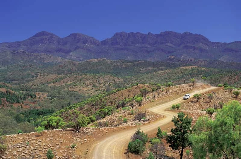
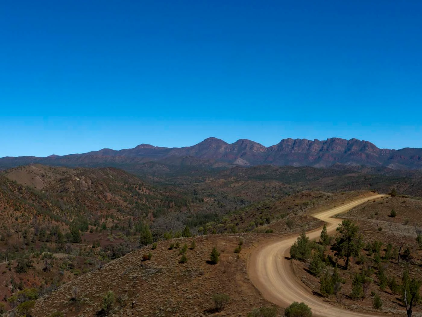
The road from Hawker to Wilpena is sealed and accessible to all vehicles. Rawnsley Park's 3 km access road is unsealed but well maintained.
Scored 4.4/10 by Contour's road quality algorithm across curviness, surface, elevation and traffic. Best suited for motorbike & rally drivers.
The road
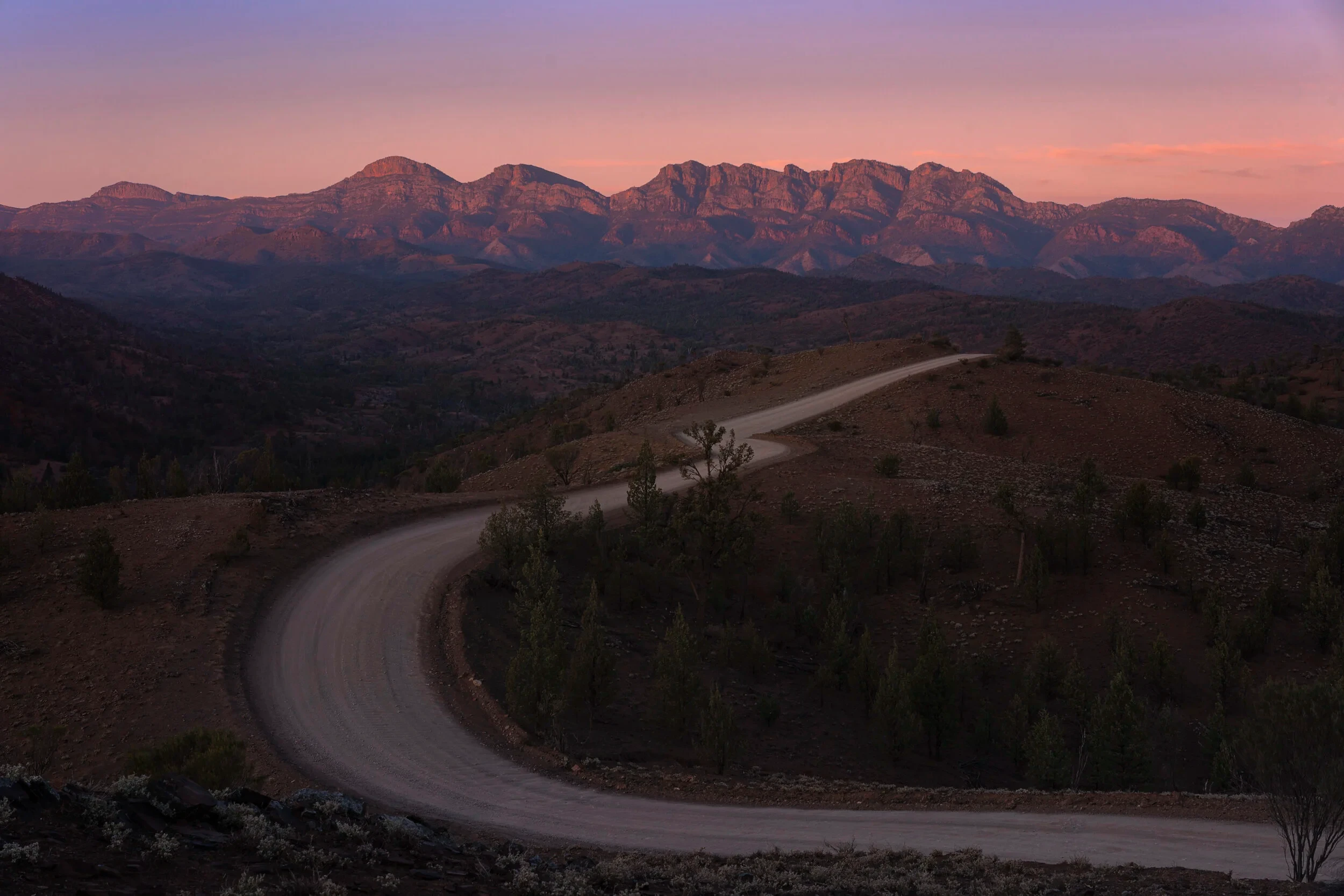
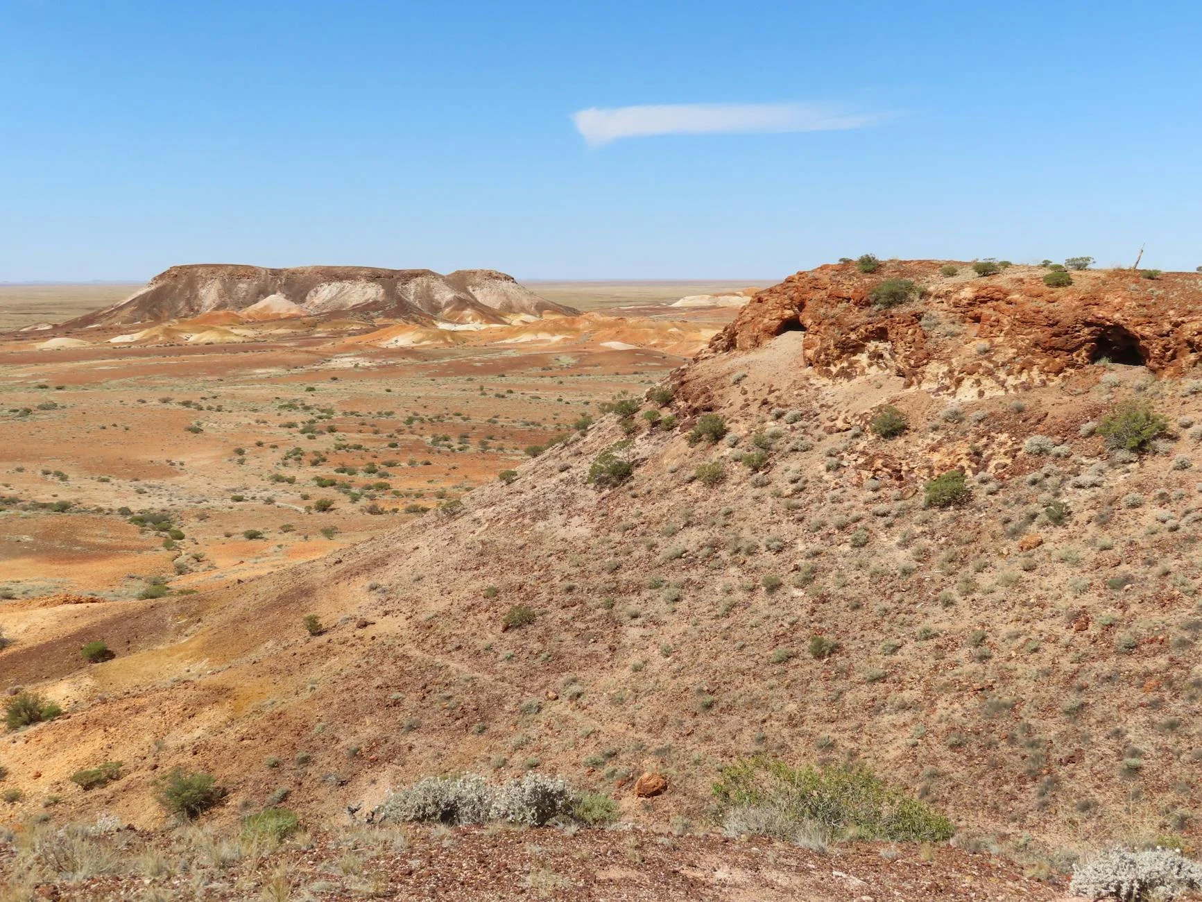
The closing stage of the Flinders Loop runs 35 kilometres from Hawker north along the sealed Hawker-Wilpena road to Rawnsley Park Station. Hawker is the main service town for the Flinders Ranges and a sensible fuel and water stop before heading into the ranges. The road approaches the Pound walls from the south, giving the best view of the natural amphitheatre's exterior - the quartzite ridges curving from 800 metres on the skyline down to the plains. This section of road is sealed and well maintained, unlike the gravel stages in the loop itself. The Rawnsley Park turnoff is well signed and the 3-kilometre access road into the station is unsealed but in good condition. Rawnsley Park is the most accessible accommodation base for the Flinders Loop - a working sheep and cattle station that operates tourism facilities on the southern boundary of the national park. Scenic flights over Wilpena Pound depart from the station.
The closing stage of the Flinders Loop runs 35 kilometres from Hawker north along the sealed Hawker-Wilpena road to Rawnsley Park Station.
Why this road
The region
Hawker is the main service town for the Flinders Ranges country, 60 kilometres south of Wilpena Pound. The town has fuel, a supermarket, accommodation, and a good pie at the caravan park. Rawnsley Park Station is a working sheep and cattle station 35 km north of Hawker.
Before you go
Fuel in Hawker. The road to Rawnsley Park is sealed except the final 3 km access road. Rawnsley Park has accommodation, meals and a small shop. Scenic flights available. Mobile coverage in Hawker; limited on the road north.
See a routing error?
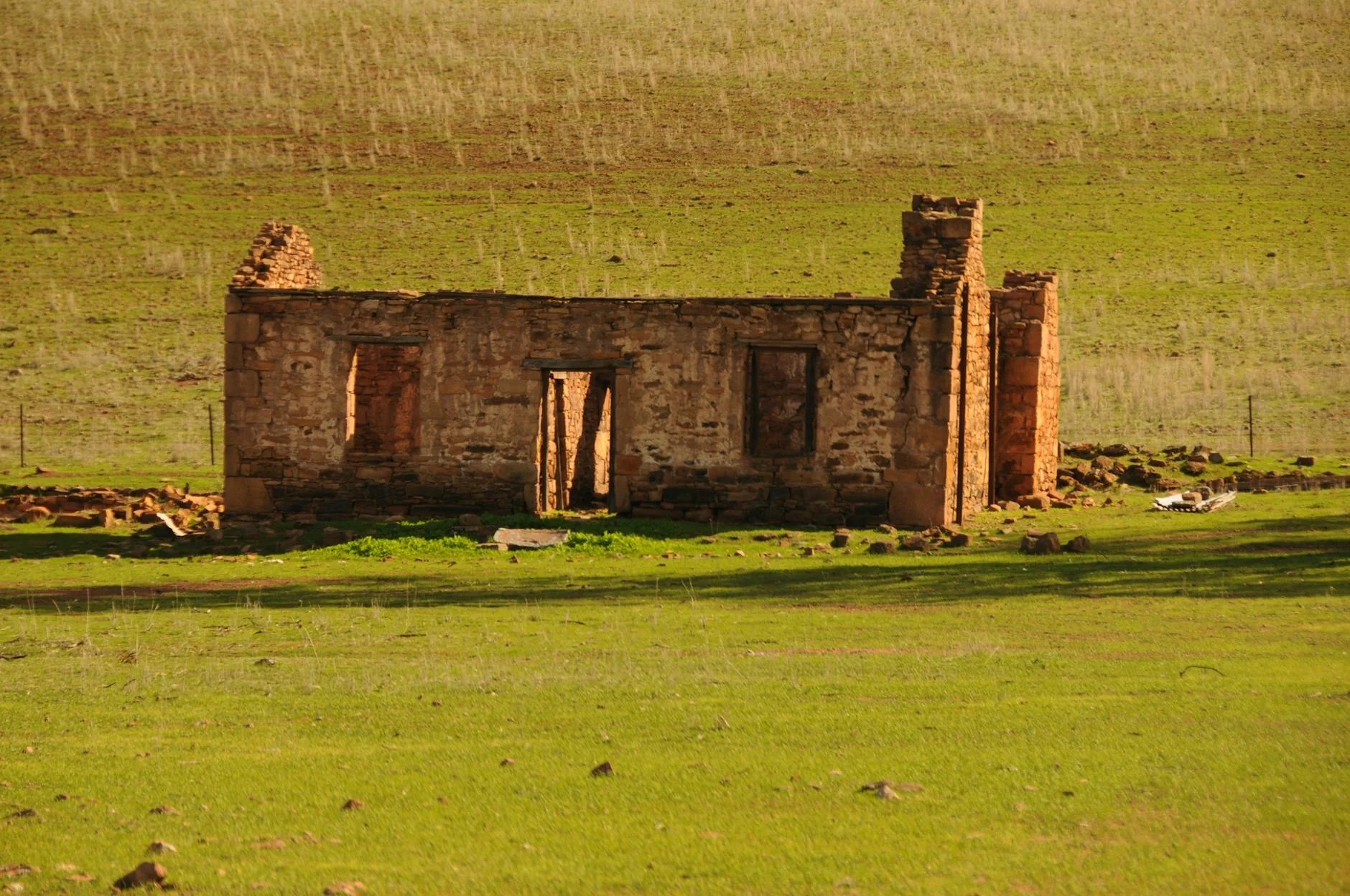
Flag itWorth stopping for
Rawnsley Park Station
Working station with accommodation, scenic flights over Wilpena Pound, and direct access to walking tracks.
Hawker town
Main service point for the Flinders - fuel, provisions, and good food.
Route
Start
Hawker
End
Rawnsley Park Station
Gallery
More roads like this