Flinders Ranges Drive
107 km
distance
1h 25m
Contour time
4.2
avg score
Sealed
surface
Scenery
South Australia
The Flinders Ranges extend 430 kilometres north from Port Augusta to Gammon Ranges National Park. The geological...
Road quality
4.2 RQS
Every segment scored on 40+ data signals.
Accessibility
Fully sealed
Best in Sports car. Peak season: Autumn-Spring.
7-day forecast
Wide open sealed bends through ancient red rock country. Good surface, light traffic. Too hot in summer - go between April and October.
Scored 4.2/10 by Contour's road quality algorithm across curviness, surface, elevation and traffic. Best suited for sports car drivers.
The road
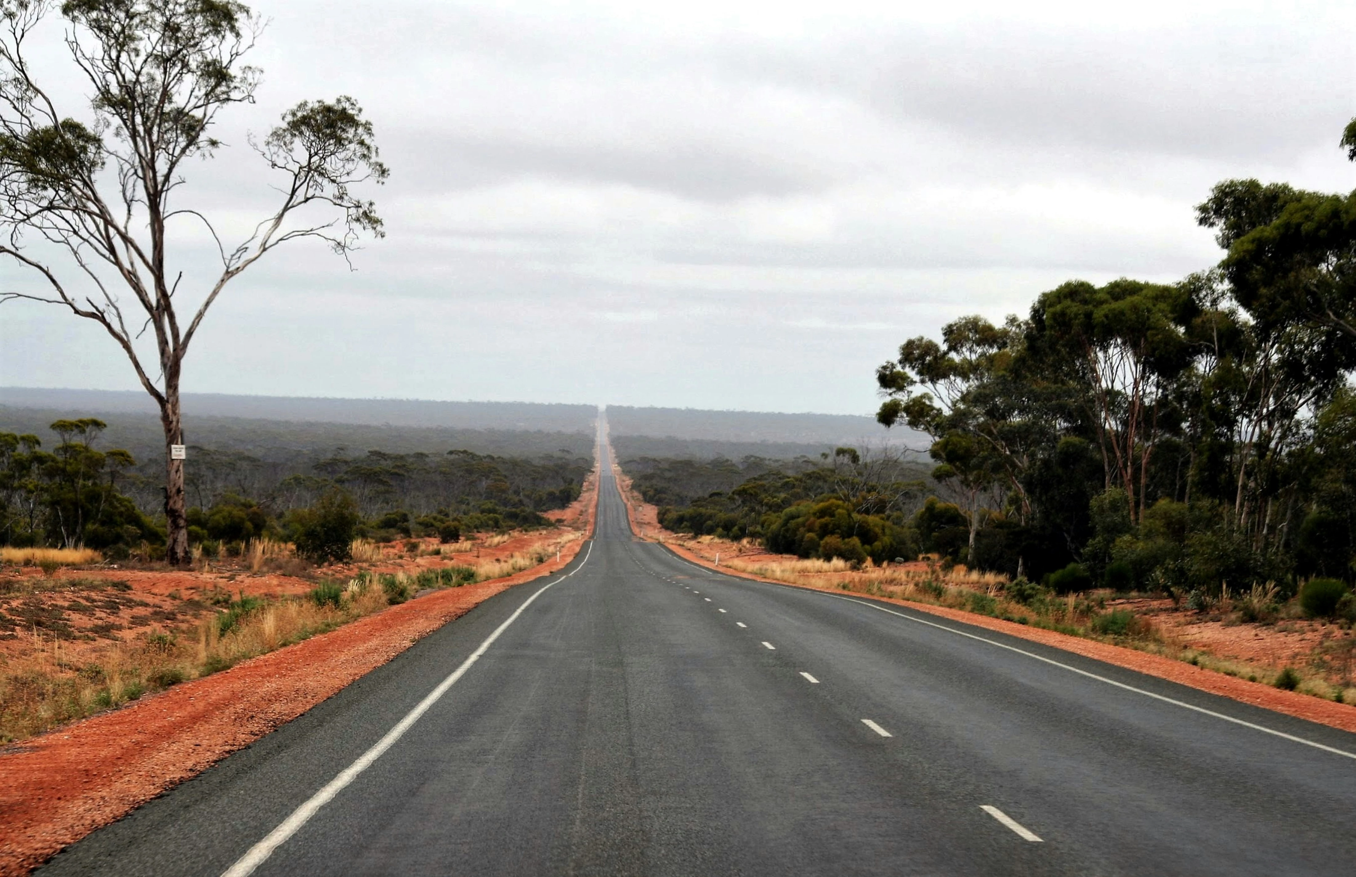
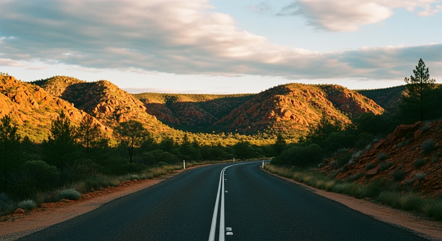
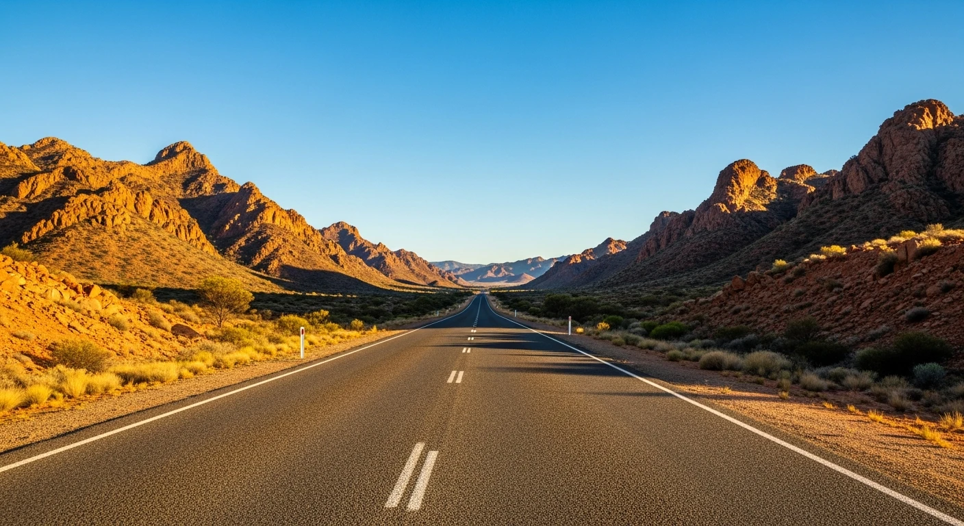
The drive from Port Augusta to Hawker through the southern Flinders Ranges is one of the more unexpected driving roads in Australia. The landscape is not what most people associate with good driving country - it is arid, ancient and severe - but the road through it has wide, well-banked bends, a good surface and almost no traffic for most of its length. The Flinders Ranges are the eroded remnants of a mountain range formed 800 million years ago, and the angular red and ochre quartzite formations close to the road have a visual quality that is genuinely unlike anything else in the country. The light through this country in the late afternoon is extraordinary. Port Augusta is the gateway to the outback and the start of the Stuart Highway north, which gives the approach a different character to most recreational drives. Hawker is a small service town at the gateway to Wilpena Pound and the central Flinders - a good overnight stop before exploring further.
The drive from Port Augusta to Hawker through the southern Flinders Ranges is one of the more unexpected driving roads in Australia.
Why this road
The region
The Flinders Ranges extend 430 kilometres north from Port Augusta to Gammon Ranges National Park. The geological history visible in the rock faces along this road represents some of the oldest exposed geology in Australia. Spencer Gulf lies to the west of Port Augusta, separating the Eyre Peninsula from the mainland. Hawker is the last town of any size before the remote central Flinders and is the base for most Wilpena Pound visits. The Adnyamathanha people have lived in the Flinders Ranges for tens of thousands of years and their cultural heritage is embedded in the landscape.
History
The Flinders Ranges were named by Matthew Flinders during his 1802 coastal survey. The ranges were first crossed by Edward John Eyre in 1839 on his way north to Lake Torrens. The railway line through the Pichi Richi Pass visible from the southern approach was built in the 1870s and is now a heritage tourist railway.
Before you go
Fuel at Port Augusta and Hawker. The road is fully sealed and open year-round. Summer temperatures regularly exceed 45 degrees - genuine heat danger if you break down. April to October is the reliable window for comfortable driving. Water and emergency supplies are recommended outside of summer. Phone coverage is good on the main road but limited off it.
See a routing error?
Flag itWorth stopping for
Wilpena Pound
A natural amphitheatre of quartzite ridges forming a 17km circular mountain range, 45km north of Hawker - one of the most distinctive landforms in Australia.
Pichi Richi Railway
A heritage narrow-gauge railway through the Pichi Richi Pass south of Quorn, operating steam and diesel trains through old-growth red gum country on weekends.
Route
Start
Port Augusta
End
Hawker
More roads like this