Arnhem Highway
254 km
distance
2h 50m
Contour time
3.9
avg score
Sealed
surface
Scenery
Northern Territory
The Top End of the Northern Territory is monsoonal tropical country - 100 millimetres of rain in the dry season, 1,400...
Road quality
3.9 RQS
Every segment scored on 40+ data signals.
Accessibility
Fully sealed
Best in Sports car. Peak season: Dry season (May-Oct).
7-day forecast
Flat and fast but the landscape earns its place on the list. Flood-prone in the wet season - dry season only.
Scored 3.9/10 by Contour's road quality algorithm across curviness, surface, elevation and traffic. Best suited for sports car drivers.
The road
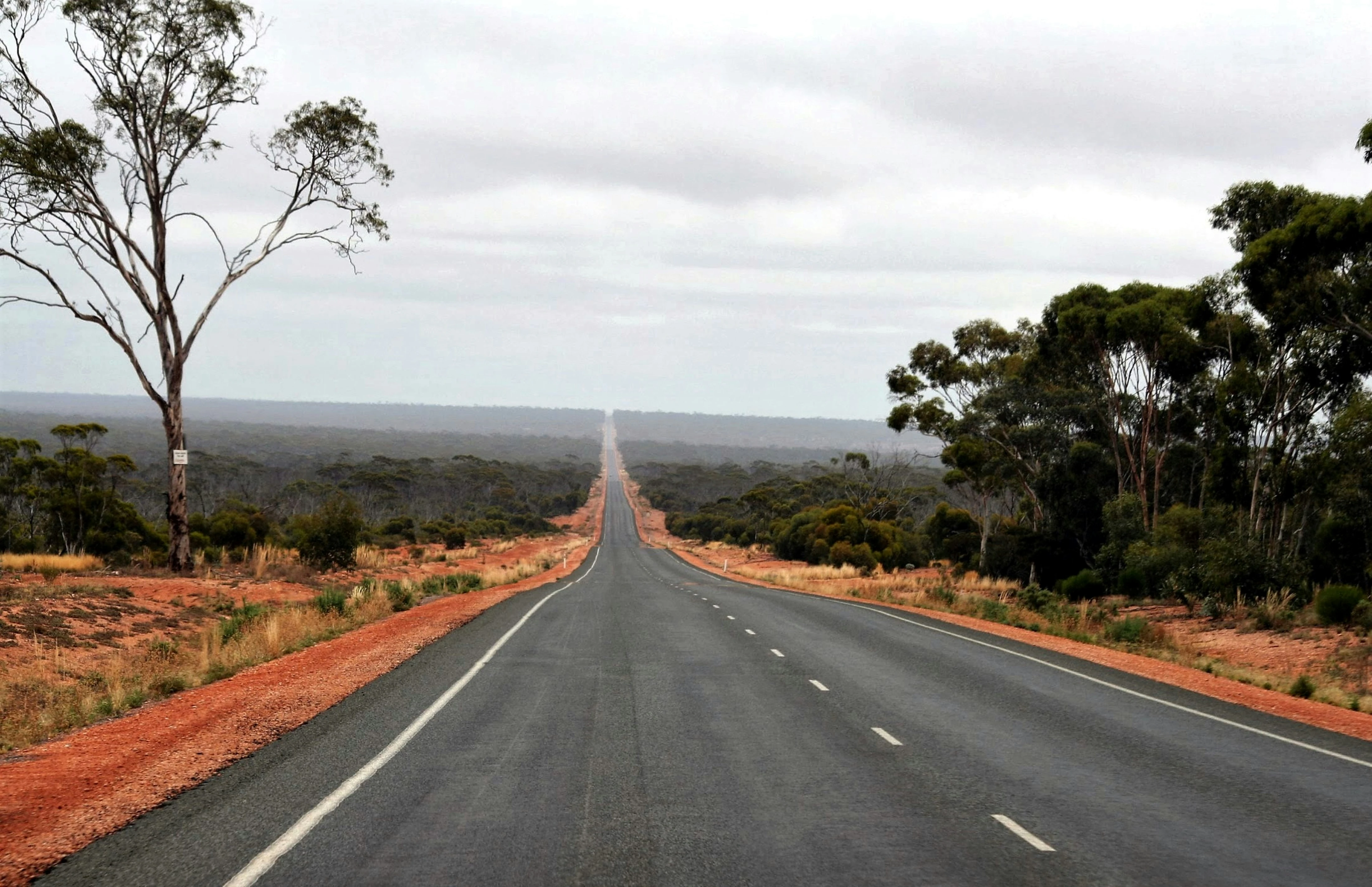
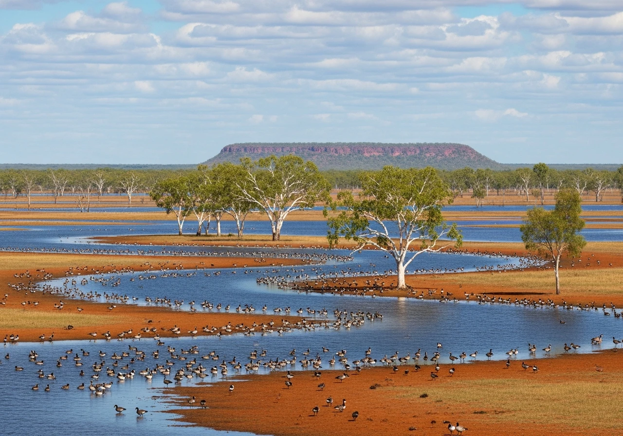
The Arnhem Highway from Darwin to Jabiru is not a driver's road in the traditional sense. There are no corners worth noting, no elevation changes and no dramatic scenery in the way that southern Australia understands dramatic. What it does have is genuine Top End character: the floodplains of the Mary River system flooded and mirrored in the wet season, baked red and teeming with wildlife in the dry. The road runs straight and flat across the floodplains for most of its length, with the distant Arnhem Land escarpment growing slowly larger on the horizon. The magic is in the details - termite mounds six metres tall, magpie geese in their thousands on the floodplains, the quality of light in the early morning. Jabiru is a purpose-built mining town inside the Kakadu National Park boundary, which means the park starts before the town does. This drive is about arriving at Kakadu, not about the road. But arriving by road through country like this is very different to arriving by plane.
The Arnhem Highway from Darwin to Jabiru is not a driver's road in the traditional sense.
Why this road
The region
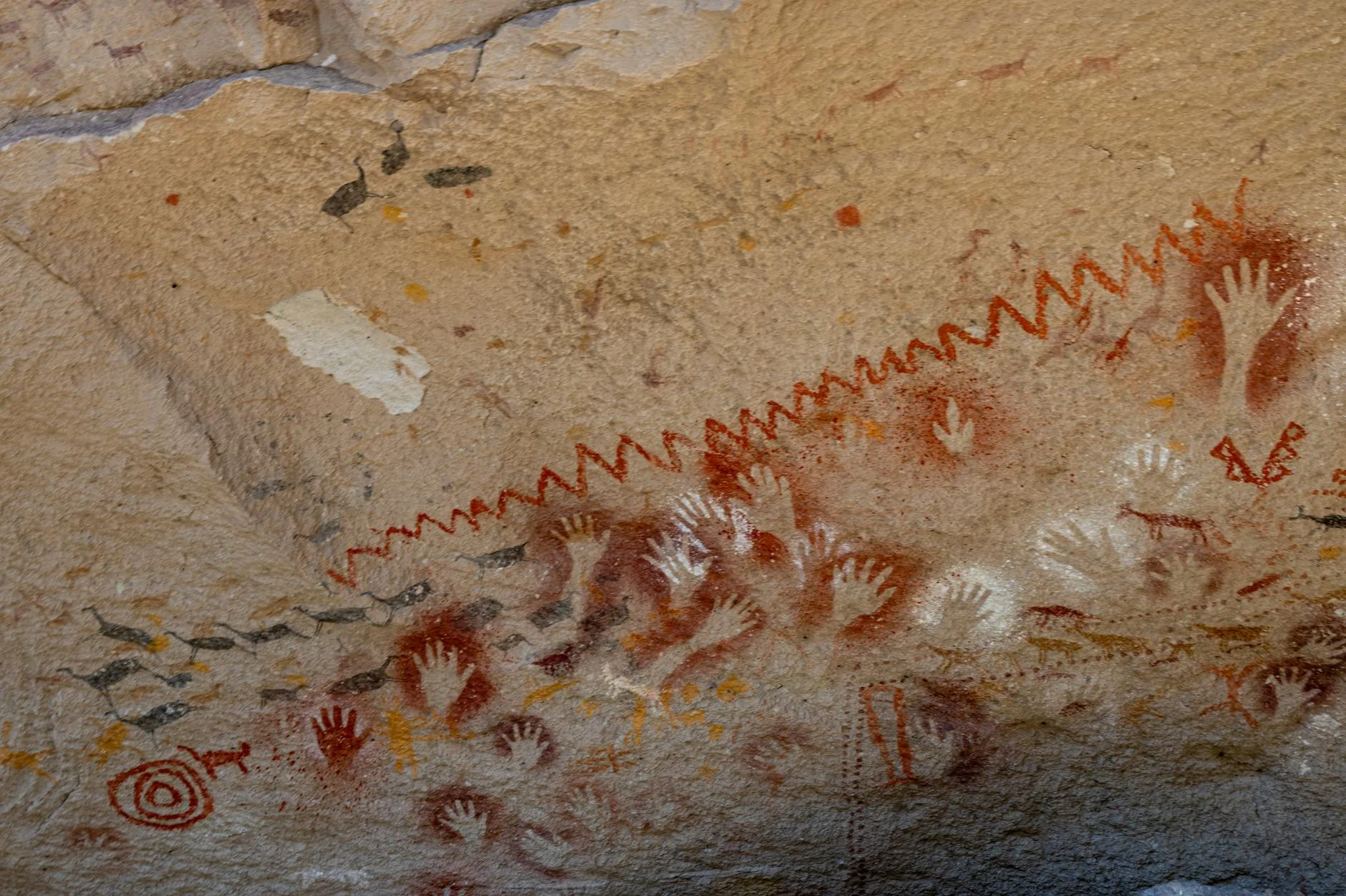
The Top End of the Northern Territory is monsoonal tropical country - 100 millimetres of rain in the dry season, 1,400 in the wet, all of it falling between November and April. The landscape through which the Arnhem Highway passes is the Mary River floodplain system, home to one of the highest concentrations of saltwater crocodiles in Australia. Kakadu National Park at the end of the road is a World Heritage area covering 20,000 square kilometres, with Aboriginal rock art sites over 20,000 years old.
History
The Arnhem Highway follows the approximate route used by Aboriginal people as a seasonal trading corridor between coastal and inland communities for thousands of years. The highway was sealed in 1980 to improve access to the Kakadu uranium mining operations.
Before you go
Fuel at Darwin and Jabiru. The highway floods during the wet season (November to April) and can be cut for days or weeks at a time. Dry season only for a reliable trip. Saltwater crocodiles are in all waterways - do not swim or stand at the water's edge anywhere on this route. Wildlife on the road at night is genuinely dangerous. Dawn and dusk driving on outback roads is not recommended.
See a routing error?
Flag itWorth stopping for
Mary River Wetlands
One of the best barramundi fishing and crocodile spotting locations in Australia - boat tours operate from the Bark Hut Inn on the highway.
Ubirr rock art, Kakadu
Aboriginal rock art galleries with paintings over 20,000 years old, 40km past Jabiru - the escarpment lookout at sunset is one of the best views in Australia.
Route
Start
Darwin
End
Jabiru
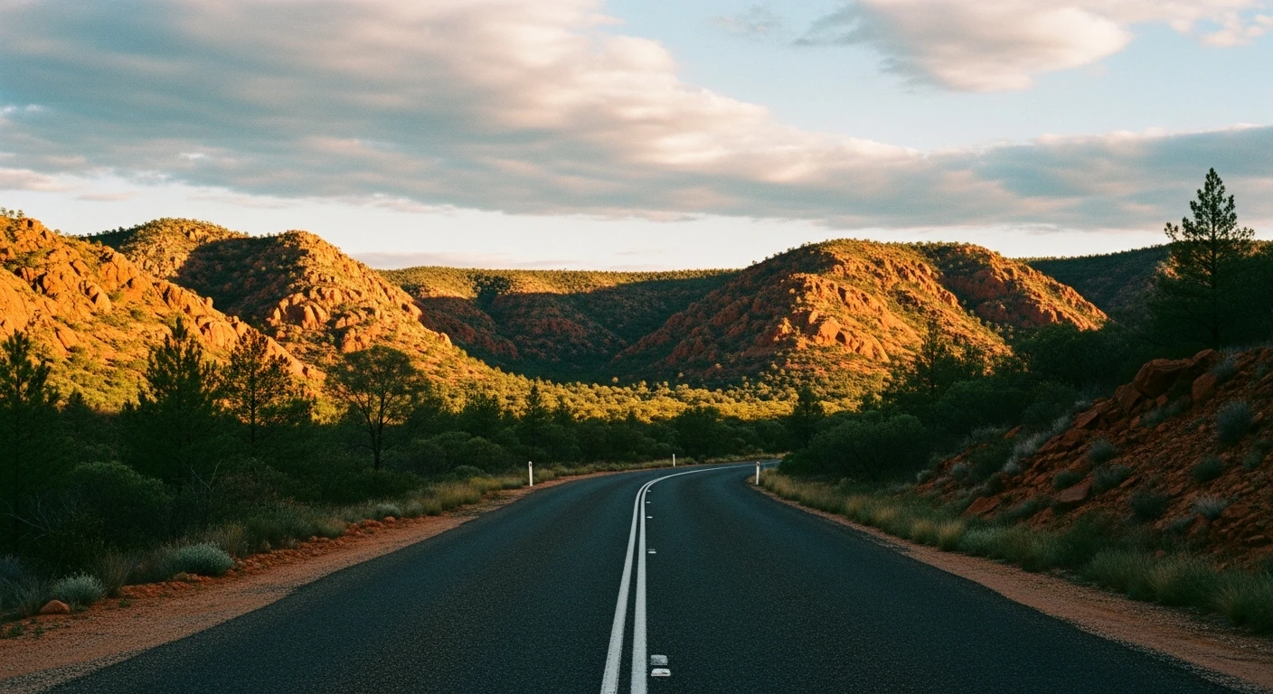
Gallery
More roads like this