Eastern Dorrigo Way
23 km
distance
28 min
Contour time
6.5
avg score
Sealed
surface
Scenery
New South Wales
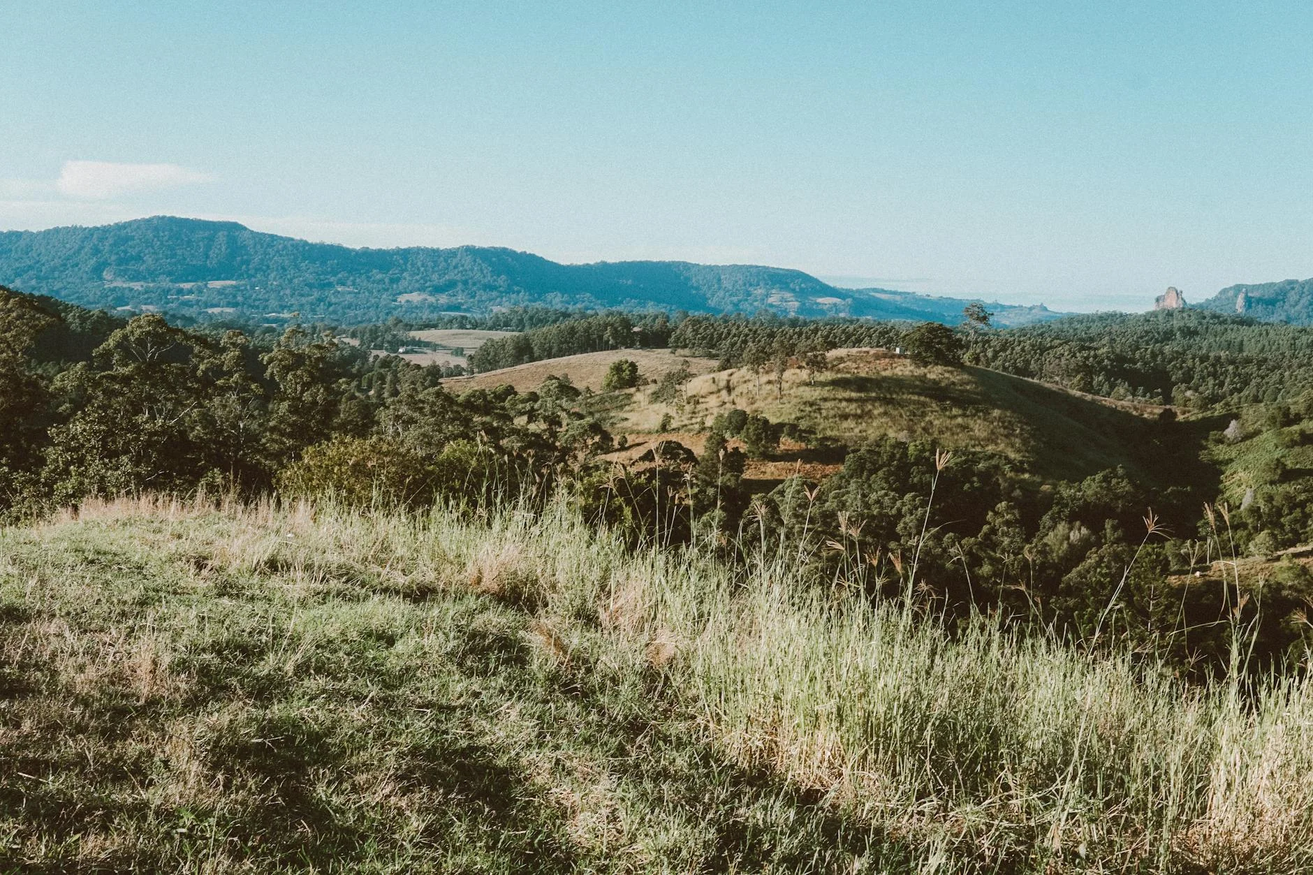
The Dorrigo plateau sits at 1,000 metres on the New England escarpment. The Eastern Dorrigo Way drops off the east face...
Road quality
6.5 RQS
Every segment scored on 40+ data signals.
Accessibility
Fully sealed
Best in Sports car. Peak season: Year-round.
7-day forecast
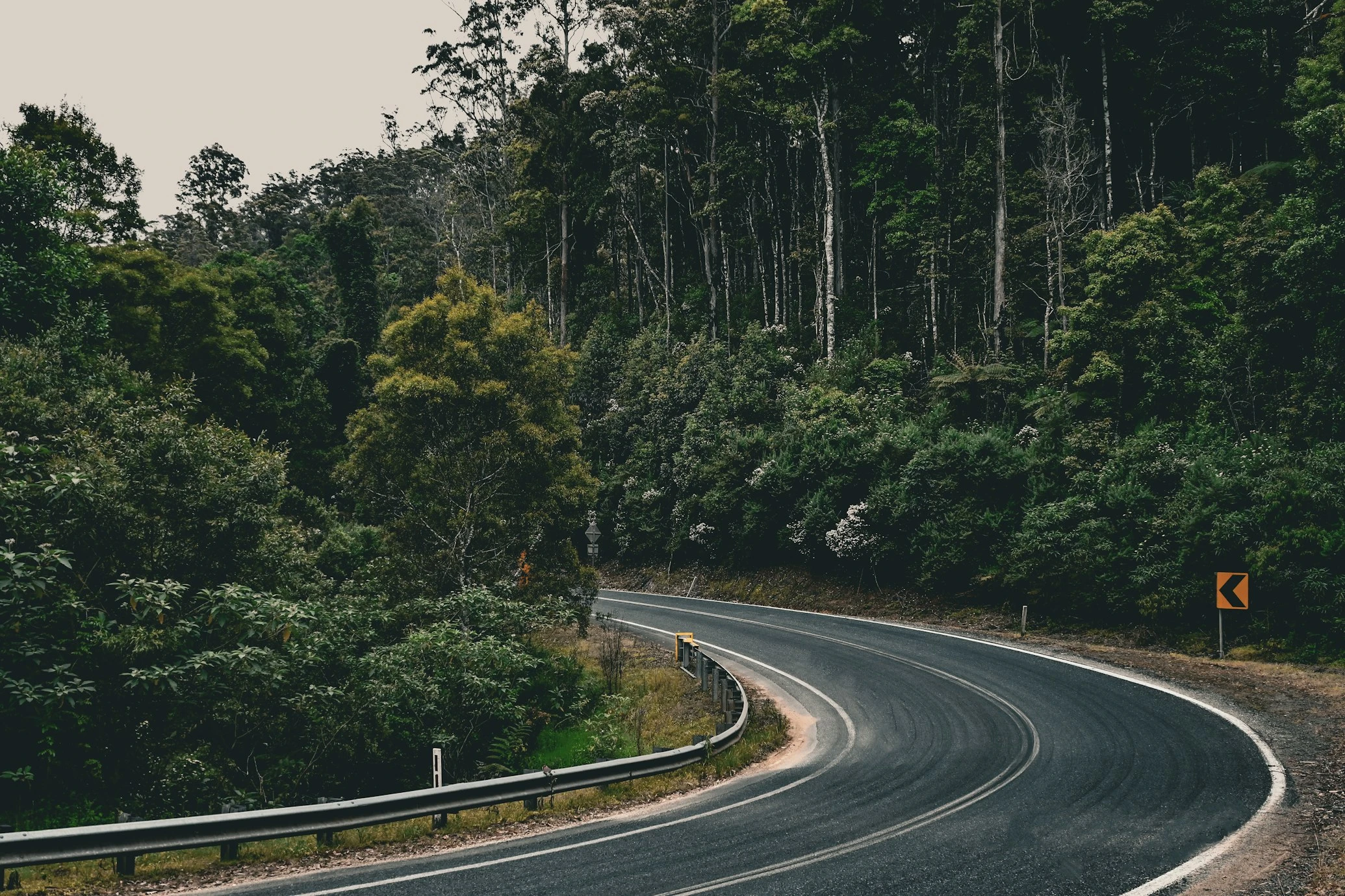
One of the best descents in NSW. Constant tight corners through Gondwana rainforest with barely a straight section. Sports car and motorbike are the right fit. Wet surface is common - the escarpment catches cloud year-round. Allow time on the descent.
Scored 6.5/10 by Contour's road quality algorithm across curviness, surface, elevation and traffic. Best suited for sports car drivers.
The road
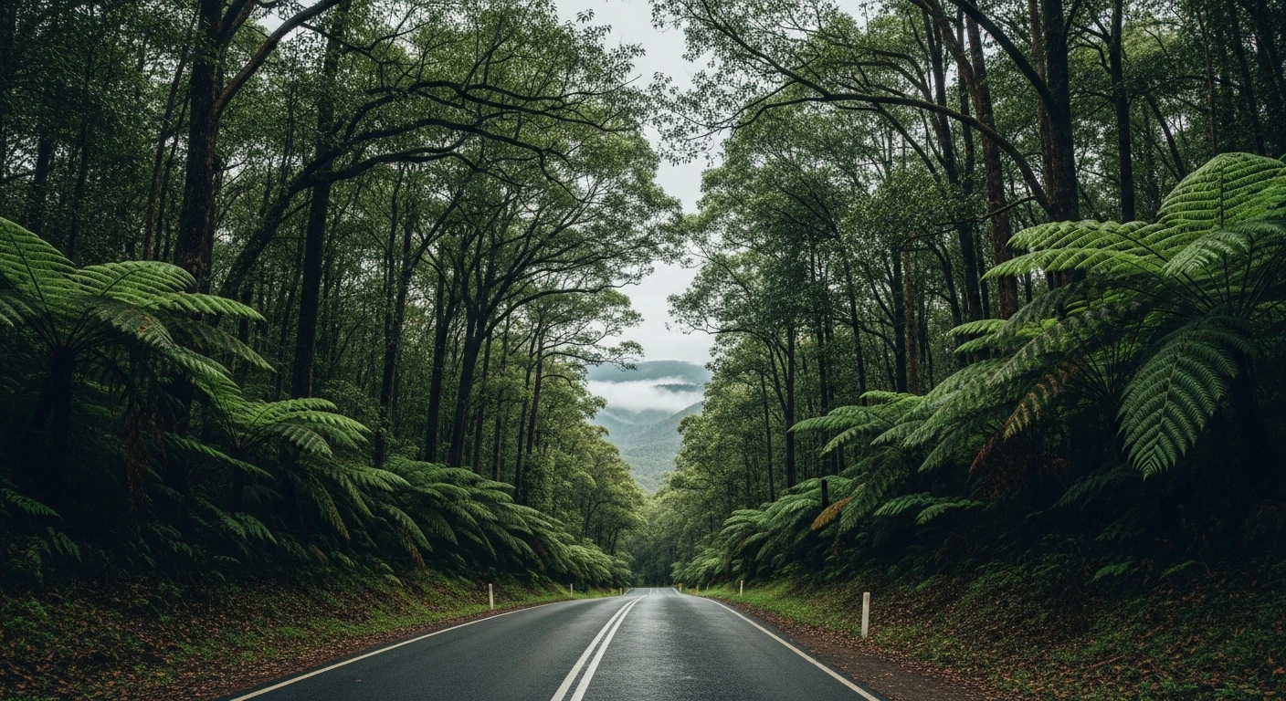
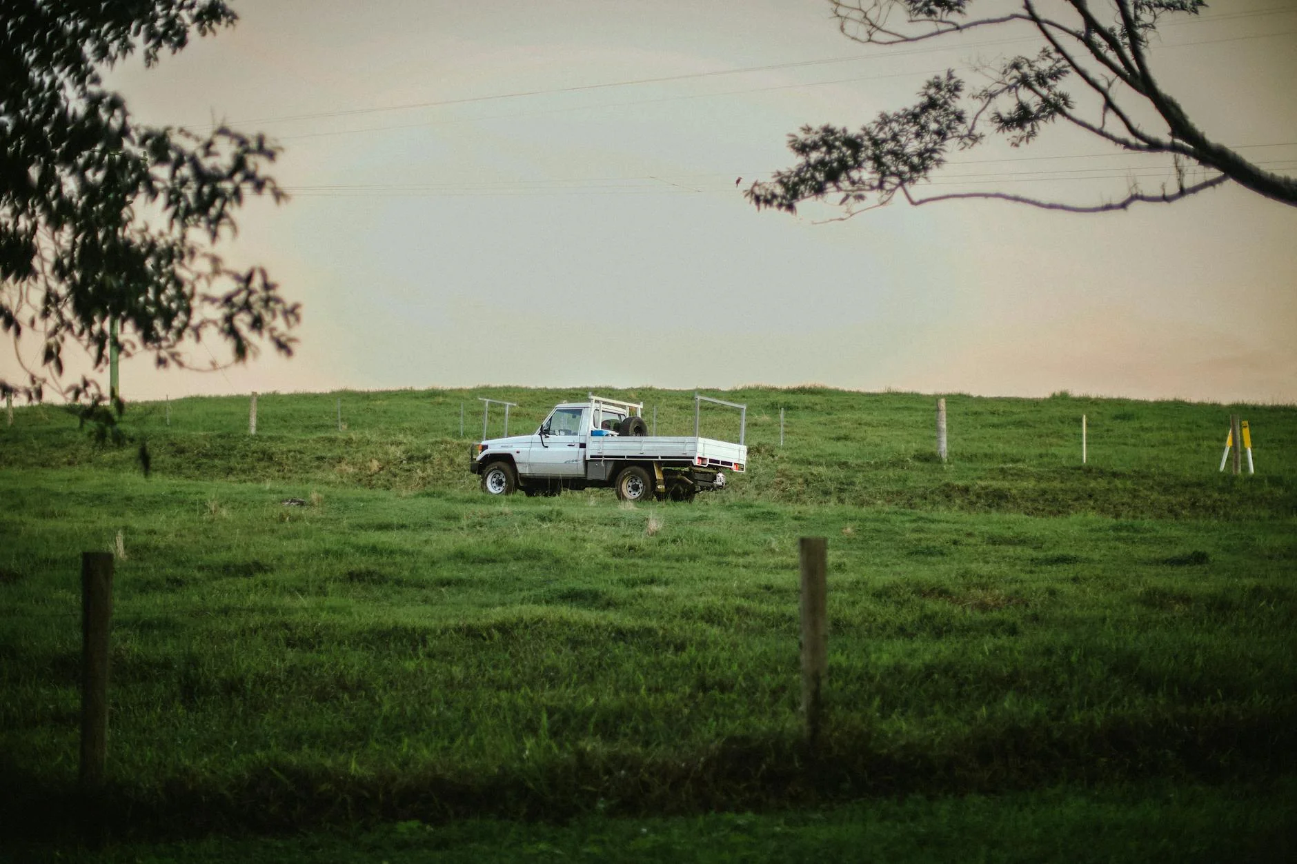
Eastern Dorrigo Way is one of those roads that locals know about and driving tourists consistently miss. The 23-kilometre descent from the Dorrigo plateau at 1,000 metres to the coastal plain near Coramba loses the full height of the New England escarpment through World Heritage Gondwana rainforest in a continuous sequence of tight corners. The road surface is frequently damp - the escarpment catches cloud year-round - and the canopy closes overhead on the mid-section. There are barely any straight sections. RQS 9.34 across 37 matched segments places this among the highest-scoring descents in the country. The plateau at the top offers views to the Pacific on clear days. The descent itself is entirely enclosed by forest. The transition from the open plateau to the green tunnel of the rainforest happens quickly and the driving intensity does not let up until the road reaches the lowland creek system near Coramba. This road is genuinely world-class for what it delivers per kilometre, and most visitors to the Dorrigo area never drive it because they take the Waterfall Way instead.
Eastern Dorrigo Way is one of those roads that locals know about and driving tourists consistently miss.
Why this road
The region
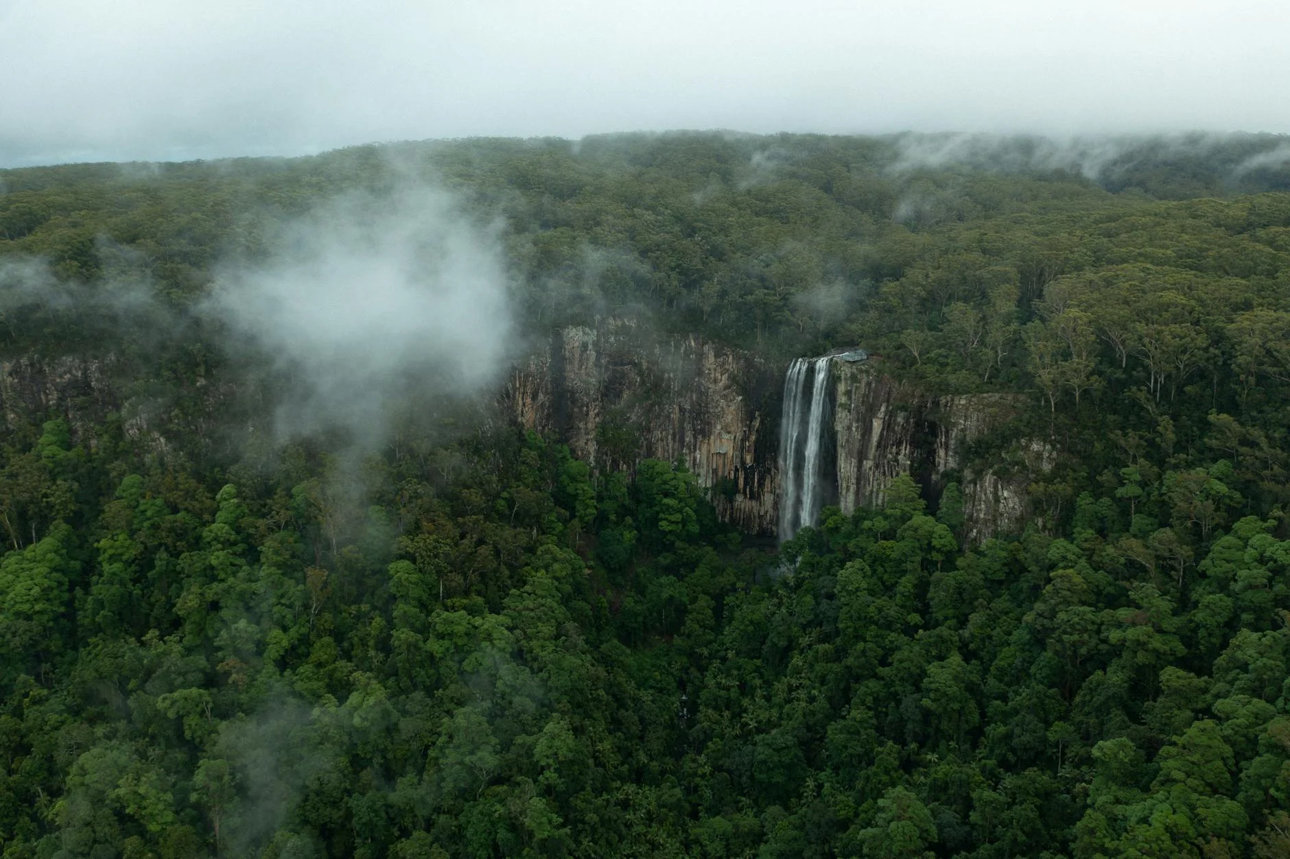
The Dorrigo plateau sits at 1,000 metres on the New England escarpment. The Eastern Dorrigo Way drops off the east face through Gondwana rainforest that forms part of the UNESCO World Heritage listed Gondwana Rainforests of Australia. The escarpment is dramatic - from the plateau edge you can see the Pacific Ocean 60 km east.
History
The Dorrigo escarpment was one of the last sections of the New England Tablelands to be connected to the coast. The road was built progressively through the mid-20th century as timber demand from the lowlands drove investment in the route.
Before you go
Fuel in Dorrigo. The road is fully sealed and open year-round. The surface is frequently damp from cloud and mist - allow for reduced grip even in dry conditions. Some gravel wash on the tighter sections after heavy rain. The descent is about 15 km of sustained corners - brake management matters in a heavy car. Dorrigo National Park and its rainforest walks are accessible from the plateau before the descent.
See a routing error?
Flag itWorth stopping for
Dorrigo National Park Rainforest Centre
The canopy walk and treetop boardwalk above the rainforest - a 20-minute walk that gives the best view of what you just drove through.
Never Never picnic area
A set of waterfalls in the rainforest at the base of the escarpment - worth a stop after the descent.
Route
Start
Dorrigo
End
Coramba
Gallery
More roads like this