Bundook Road
22 km
distance
26 min
Contour time
5.5
avg score
Sealed
surface
Scenery
New South Wales
The Bundook area sits in the ranges between Gloucester and the Manning Valley, in a section of the mid-north coast...
Road quality
5.5 RQS
Every segment scored on 40+ data signals.
Accessibility
Fully sealed
Best in Sports car. Peak season: Year-round.
7-day forecast
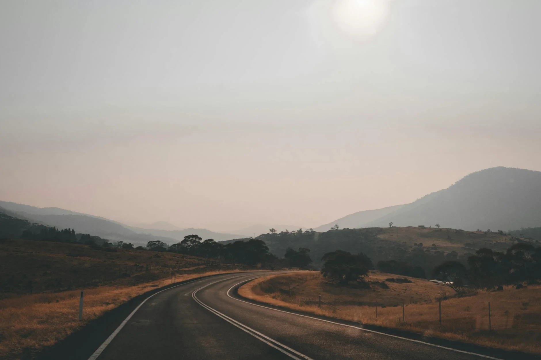
Fast flowing sealed road through the Manning Valley ranges with good sight distances and consistent corners. Sports car ideal. Motorbike equally rewarding. Very light traffic makes this one of the more relaxed drives in the region.
Scored 5.5/10 by Contour's road quality algorithm across curviness, surface, elevation and traffic. Best suited for sports car drivers.
The road
Bundook Road is a 22-kilometre sealed back road through the Manning Valley ranges that delivers the kind of driving that most people associate with roads three times its length. The surface is consistently good, the corners flow with a natural rhythm through tall dry sclerophyll forest and the traffic is almost non-existent. The country between Gloucester and the Manning Valley sees few visitors - the Barrington Tops to the southwest draws the attention and the coast draws the traffic. What remains is a genuine back road through big eucalypt country with cattle properties on the valley floors and long sightlines through open forest on the ridgelines. On a clear day, Barrington Tops is visible to the southwest. The road rewards sports cars and motorbikes equally - the corners are fast enough to carry speed but frequent enough to stay engaged. This is the kind of road that makes you want to turn around and drive it again.
Bundook Road is a 22-kilometre sealed back road through the Manning Valley ranges that delivers the kind of driving that most people associate with roads three times its length.
Why this road
The region
The Bundook area sits in the ranges between Gloucester and the Manning Valley, in a section of the mid-north coast hinterland that sees very few visitors. The country is tall dry sclerophyll - big eucalypts and open forest floor - with cattle properties on the valley floors. Barrington Tops is visible to the southwest on clear days.

Before you go
Fuel in Gloucester. Road is sealed and open year-round. Very light traffic - this is a genuine back road, not a tourist route. Gravel on the road after rain is the main hazard. Good surface condition throughout. Allow 30 minutes without stops.
See a routing error?
Flag itWorth stopping for
Barrington Tops National Park
Australia's only World Heritage rainforest accessible by 4WD from the plateau, 30 minutes from Gloucester.
Gloucester
A solid country town with good fuel and food, backed by the dramatic Barrington Tops escarpment.
Route
Start
Gloucester
End
Bundook
Gallery

More roads like this
