Thunderbolts Way
144 km
distance
2h 55m
Contour time
5.3
avg score
Sealed
surface
Scenery
New South Wales
The country between Gloucester and Walcha straddles the Great Dividing Range at one of its widest and most forested...
Road quality
5.3 RQS
Every segment scored on 40+ data signals.
Accessibility
Fully sealed
Best in Motorbike & Rally. Peak season: Year-round.
7-day forecast
A long mountain road with steep climbs, forested switchbacks and sweeping ridgeline bends. The variety of terrain and the sustained length make it a full-day motorcycle road. Sports cars enjoy it but the distance favours bikes.
Scored 5.3/10 by Contour's road quality algorithm across curviness, surface, elevation and traffic. Best suited for motorbike & rally drivers.
The road
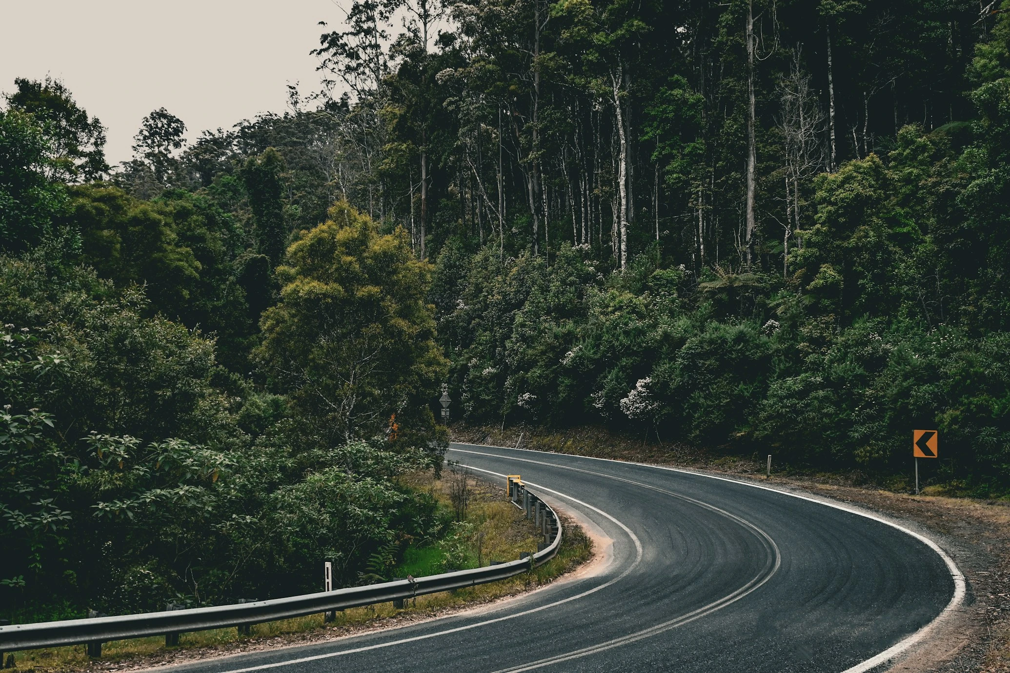
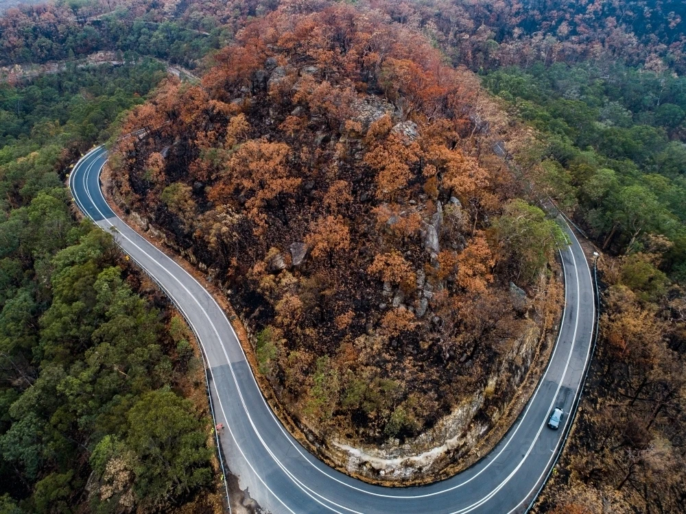
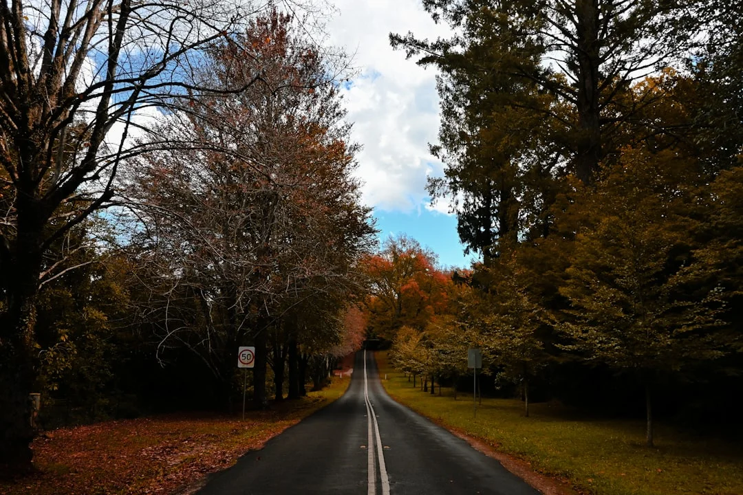
Thunderbolts Way runs 305 kilometres from Inverell to Gloucester, but the section that matters for driving is the 150-kilometre mountain crossing between Gloucester and Walcha. This is where the road climbs the Great Dividing Range through thick forested country, drops into river valleys and climbs again - repeatedly, for hours. The road is named after Frederick Ward, the bushranger known as Captain Thunderbolt who used these ranges as cover in the 1860s. The terrain explains why - it is genuinely remote, densely forested and the road follows the most practical line through difficult country rather than the most direct one. The climb out of Gloucester is the first serious section - steep switchbacks through hardwood forest with limited visibility. Barrington at the top of the first range is the only settlement between the two towns. Beyond Barrington the road drops into the Barnard River valley before climbing again through Nowendoc and onto the tableland approach to Walcha. The final section into Walcha opens up - wider bends, pastoral country, views across the tableland. The contrast with the tight forested sections behind you is the reward for the distance invested.
Thunderbolts Way runs 305 kilometres from Inverell to Gloucester, but the section that matters for driving is the 150-kilometre mountain crossing between Gloucester and Walcha.
Why this road
The region
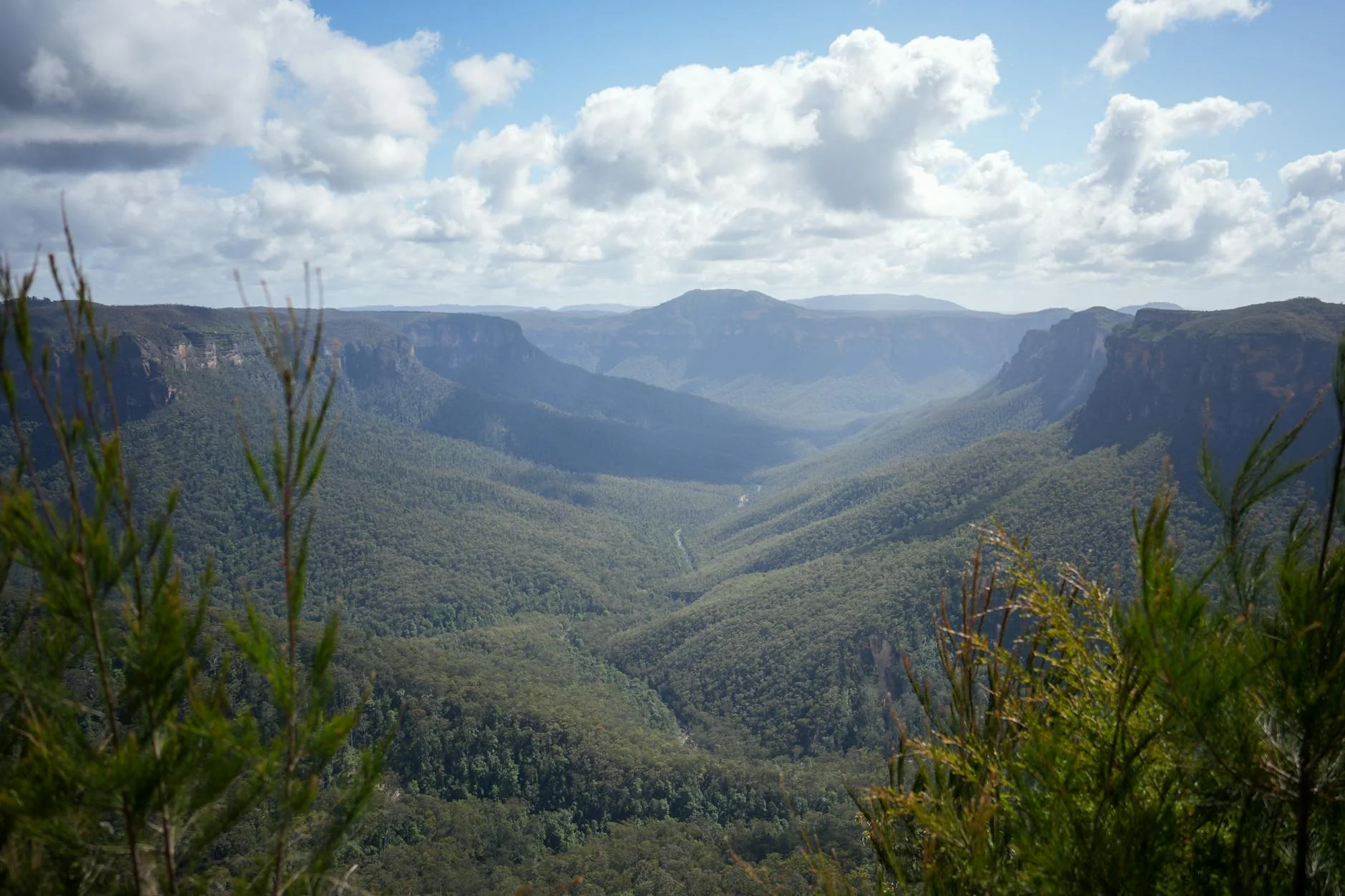
The country between Gloucester and Walcha straddles the Great Dividing Range at one of its widest and most forested sections. Gloucester is a small town in the Barrington Valley, surrounded by dairy farms and backed by the Barrington Tops plateau. Walcha sits on the New England Tableland at 1,000 metres, known for its cold winters, outdoor sculpture collection and a main street that feels distinctly rural NSW. Barrington and Nowendoc between them are tiny settlements - a pub, a few houses, petrol if you are lucky. The Barrington Tops National Park to the east of the road is World Heritage listed rainforest.
Before you go
Fuel at Gloucester and Walcha. Barrington sometimes has fuel but do not rely on it - fill up at Gloucester before the climb. The road is fully sealed and open year-round. Fog on the upper sections is common in winter mornings. Logging trucks use sections of this road - give them room and assume they are coming around blind corners. Phone coverage is intermittent through the forested sections. Allow a solid 2.5 hours without stops.
See a routing error?
Flag itWorth stopping for
Barrington Tops National Park
World Heritage listed rainforest accessible from the Gloucester end. The Barrington Tops plateau sits at 1,500 metres and holds Antarctic beech trees that are thousands of years old.
Walcha outdoor sculpture collection
Over 50 large sculptures scattered through the streets and surrounding paddocks. Unexpected, well-curated and free to wander.
Route
Start
Gloucester
End
Walcha
Gallery

More roads like this