Bothes Road
5 km
distance
50 min
Contour time
4.0
avg score
Unsealed
surface
Scenery
Victoria
Hattah-Kulkyne National Park in the Murray-Sunset Mallee is one of Victoria's most biodiverse 4WD destinations. The...
Road quality
4.0 RQS
Every segment scored on 40+ data signals.
Accessibility
Fully sealed
Best in 4WD. Peak season: Autumn-Spring.
7-day forecast
Deep sand mallee track - the difficulty is in the surface rather than any extreme obstacle. Tyre deflation is not optional. A well-prepared stock 4WD with deflated tyres and recovery boards handles this track comfortably.
Scored 4.0/10 by Contour's road quality algorithm across curviness, surface, elevation and traffic. Best suited for 4wd drivers.
The road
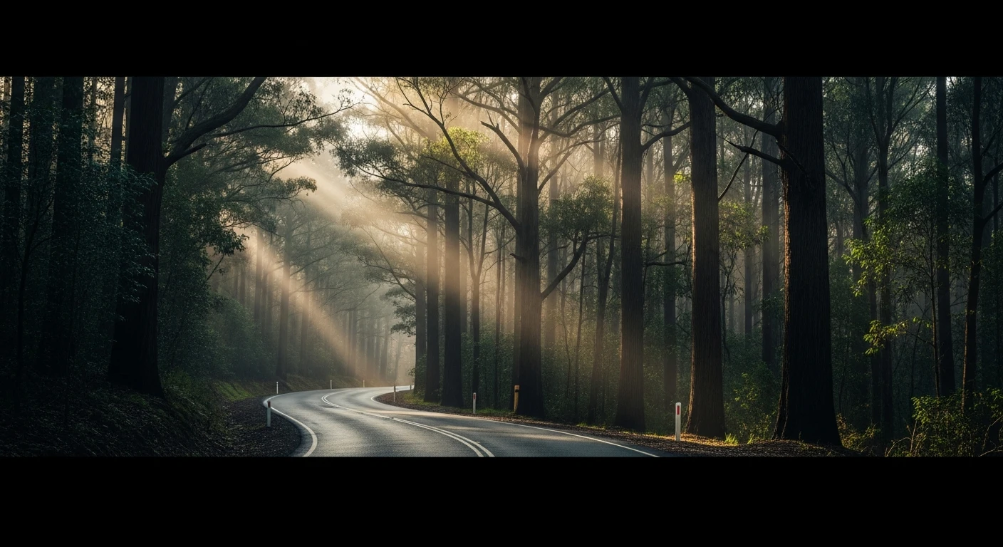
Bothes Road is a short but satisfying deep-sand mallee track near Hattah-Kulkyne National Park in Victoria's far northwest. The track is only 5 kilometres but the difficulty per metre is genuine - the red sand here is fine and deep, requiring tyre deflation to 22 psi as a minimum rather than a suggestion. The mallee scrub presses close on both sides and the sandy ridges create constant camber changes. What makes this track worth seeking out is the birdlife. Hattah-Kulkyne is one of the most biodiverse parks in Victoria - 200 bird species including the rare malleefowl and the superb parrot. The track passes through habitat that is otherwise inaccessible. A well-prepared stock 4WD with deflated tyres and recovery boards handles the surface comfortably. Without deflation, you will get bogged. The timing matters - dawn runs give the best sand conditions before the sun softens the surface.
Bothes Road is a short but satisfying deep-sand mallee track near Hattah-Kulkyne National Park in Victoria's far northwest.
Why this road

The region
Hattah-Kulkyne National Park in the Murray-Sunset Mallee is one of Victoria's most biodiverse 4WD destinations. The park protects the deep red sand mallee ecosystem - mallee eucalypts, nitre bush and bluebush over active sand ridges with waterholes in the red gum lined lake system. The mallee here is habitat for 200 bird species including the rare malleefowl and the superb parrot.

Before you go
Fuel in Ouyen or Mildura. Deflate tyres to 22psi before entering sandy sections. Carry recovery boards - the sand can be deep and catching fine sand after dawn is the best strategy. Allow a half to full day. No phone coverage in the mallee.
See a routing error?
Flag itWorth stopping for
Hattah Lakes
The lake system in the national park fills periodically from Murray floods, transforming the mallee into extraordinary wetland habitat - the number of waterbirds can be extraordinary in a flood year.
Ouyen, Victoria
The main town in the Mallee with the Mallee Discovery Centre - an excellent introduction to the ecology and history of the Victorian Mallee.
Route
Start
Hattah-Kulkyne, Mallee VIC
End
Bothes Road end
Gallery

More roads like this