Borderfence Road
14.5 km
distance
1h 40m
Contour time
3.6
difficulty
Unsealed
surface
Scenery
Victoria
The SA-VIC border in the Mallee is marked by the Dingo Fence - the world's longest fence, built to keep dingoes out of...
Road quality
Grade 3.57142857142857
Every segment scored on 40+ data signals.
Accessibility
Fully sealed
Best in 4WD. Peak season: Autumn-Spring.
7-day forecast
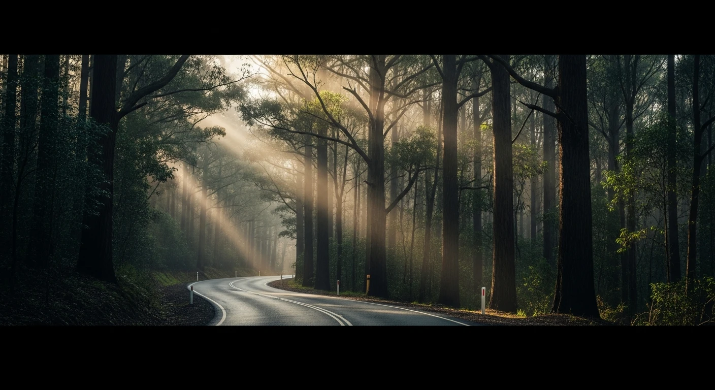
Long mallee track with moderate sand difficulty. The border fence destination adds character and navigational reference. Tyre deflation recommended for sandy sections. A good expedition-length track for the north Victorian Mallee.
Recommended gear: Recovery boards, Snatch strap, Tyre deflator/inflator, Extra water.
The road
Borderfence Road follows the SA-VIC border through the Murray-Sunset National Park to the Dingo Fence - the world's longest fence at 5,614 kilometres, originally built to keep dingoes out of the southeastern sheep country. The 14.5-kilometre track runs through deep mallee scrub on sandy surfaces that require tyre deflation for comfortable progress. The destination is the border fence itself, which in this section is a simple post-and-wire barrier that marks a genuine ecological boundary: dingo-free sheep country on the Victorian side, managed wild dog country on some sections of the SA side. The mallee scrub through Murray-Sunset is one of Victoria's largest protected ecosystems and the park's Pink Lakes camping area is accessible from this track corridor. The expedition feel is real - this is Victoria's most remote national park, and the combination of deep sand, no phone coverage, and no fuel for 100 kilometres in any direction means preparation matters. But the reward is solitude and the strange authority of reaching a man-made boundary in the middle of genuine wilderness.
Why this road

The region
The SA-VIC border in the Mallee is marked by the Dingo Fence - the world's longest fence, built to keep dingoes out of the southeastern sheep pastures. The fence runs for 5,614km from Queensland to the Great Australian Bight. In the Mallee the fence line is also a wildlife boundary - dingo-free sheep country on the VIC side, managed wild dog country in some sections of SA. The mallee scrub around the fence is Murray-Sunset National Park, one of Victoria's largest protected areas.

History
The Dingo Fence (originally the Rabbit Fence, then the Dog Fence) was built in sections from the 1880s to the 1960s. The SA section alone is maintained by 23 boundary riders over 2,225km of fence. The fence is one of the world's largest engineering structures - longer than the Great Wall of China.
Before you go
Fuel in Mildura or Ouyen. Long track - allow a full day. Deflate tyres for sandy sections. Extra water essential in summer. The Murray-Sunset park has basic camp spots accessible on this route.
See a routing error?
Flag itWorth stopping for
Murray-Sunset National Park camping
The large camping areas at the Pink Lakes and Round Swamp sections of the park are accessible from this track corridor - an excellent overnight base.
Mildura
The Murray River city is 90 minutes east - excellent food, the Mildura Arts Centre and the Murray river frontage with its paddle steamers.
Route
Start
Victorian Mallee, Mildura north
End
SA-VIC border fence
Gallery

More roads like this