Beatrice Way
22 km
distance
25 min
Contour time
8.7
avg score
Sealed
surface
Scenery
Queensland
Beatrice Way runs through the western Atherton Tablelands, approaching from Ravenshoe - the highest town in Queensland...
Road quality
8.7 RQS
Exceptional. Consistently high curviness, surface, and low traffic.
Accessibility
Fully sealed
Best in Sports car. Peak season: April-November.
7-day forecast
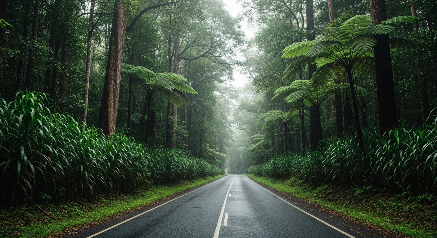
Good sealed surface through the drier western edge of the Atherton Tablelands. More open than the Millaa Millaa area roads but with a different character - the grassland-to-forest transition and the Beatrice River crossing add variety. Sports car or motorbike are the right choice.
Scored 8.7/10 by Contour's road quality algorithm across curviness, surface, elevation and traffic. Best suited for sports car drivers.
The road
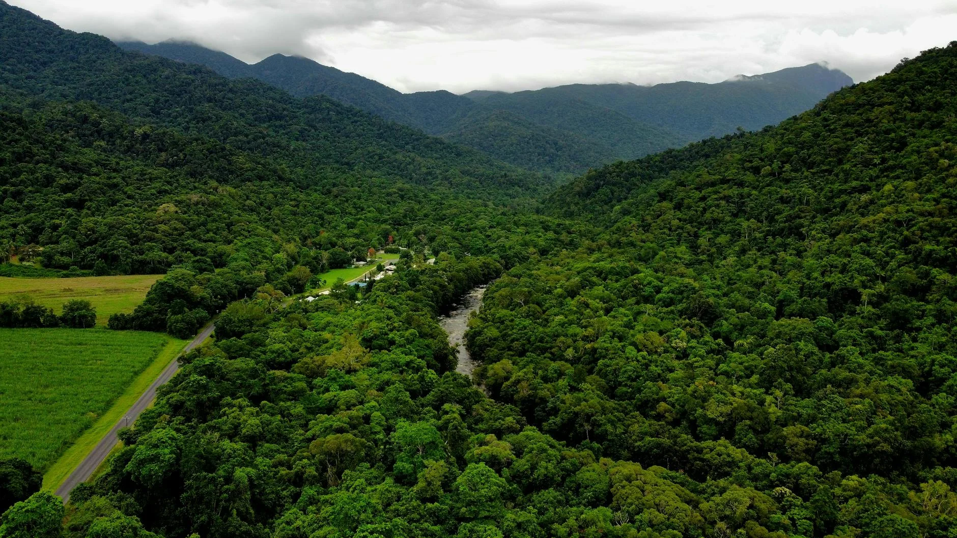
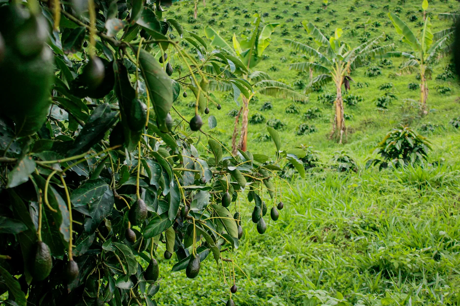
Beatrice Way runs through the western Atherton Tablelands - the drier, quieter side that most visitors to the region never see. The 22-kilometre sealed road from Ravenshoe descends toward the Beatrice River through a landscape that transitions from tropical grassland into rainforest edge. Ravenshoe holds the title of Queensland's highest town and the air up here is noticeably cooler than the coast. The road has a flowing character with consistent corners through the vegetation transition zones. Traffic is almost non-existent. The western Tablelands grow coffee, macadamia nuts and avocados on the volcanic soil, and the farming character gives the road a different feel from the dense rainforest roads closer to the escarpment edge. The Beatrice River crossing at the end adds a different visual element before the turnaround. This road rewards timing - the dry season from April to November gives the best surface conditions and the best light.
Beatrice Way runs through the western Atherton Tablelands - the drier, quieter side that most visitors to the region never see.
Why this road
The region
Beatrice Way runs through the western Atherton Tablelands, approaching from Ravenshoe - the highest town in Queensland - and descending toward the Beatrice River valley. The Tablelands are the food bowl of Far North Queensland, growing coffee, macadamia nuts, avocados and tropical fruits. Ravenshoe sits at the edge of the escarpment where the wet tropics rainforest meets the drier inland.
Before you go
Fuel in Ravenshoe. Road is sealed and open year-round. Best April to November in the dry season - the wet season (December to March) brings heavy rain that can affect surface conditions. Very light traffic. The road is a genuine back route, not on tourist maps.
See a routing error?
Flag itWorth stopping for
Ravenshoe Wind Farm
Australia's largest wind farm by installed capacity at time of construction - visible from the road on the approach to Ravenshoe.
Millaa Millaa Falls
40 minutes east - the most photogenic waterfall on the Tablelands and the start of the waterfall circuit.
Route
Start
Ravenshoe
End
Beatrice River
Gallery

More roads like this