Tarkine Drive
130 km
distance
5h
Contour time
4.2
avg score
Unsealed
surface
Scenery
Tasmania
The Tarkine is in the far northwest of Tasmania, adjacent to Cradle Mountain to the south and the Bass Strait coast to...
Road quality
4.2 RQS
Every segment scored on 40+ data signals.
Accessibility
Fully sealed
Best in 4WD. Peak season: November-April.
7-day forecast
The Tarkine loop is accessible to most 4WDs in dry summer conditions. The unsealed sections are well-maintained but can become very muddy after the frequent Tarkine rainfall. Some creek crossings on the forest tracks.
Scored 4.2/10 by Contour's road quality algorithm across curviness, surface, elevation and traffic. Best suited for 4wd drivers.
The road
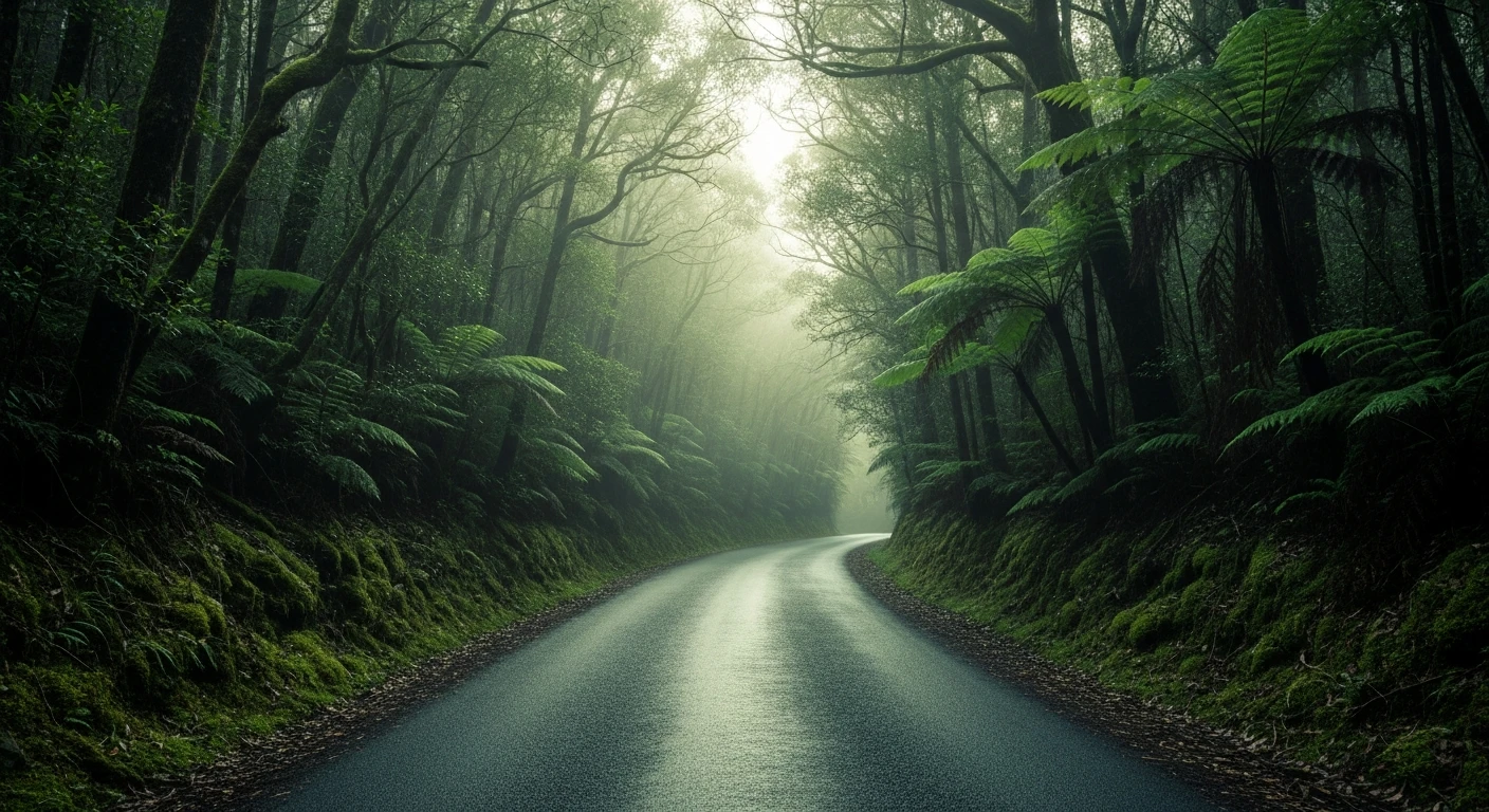
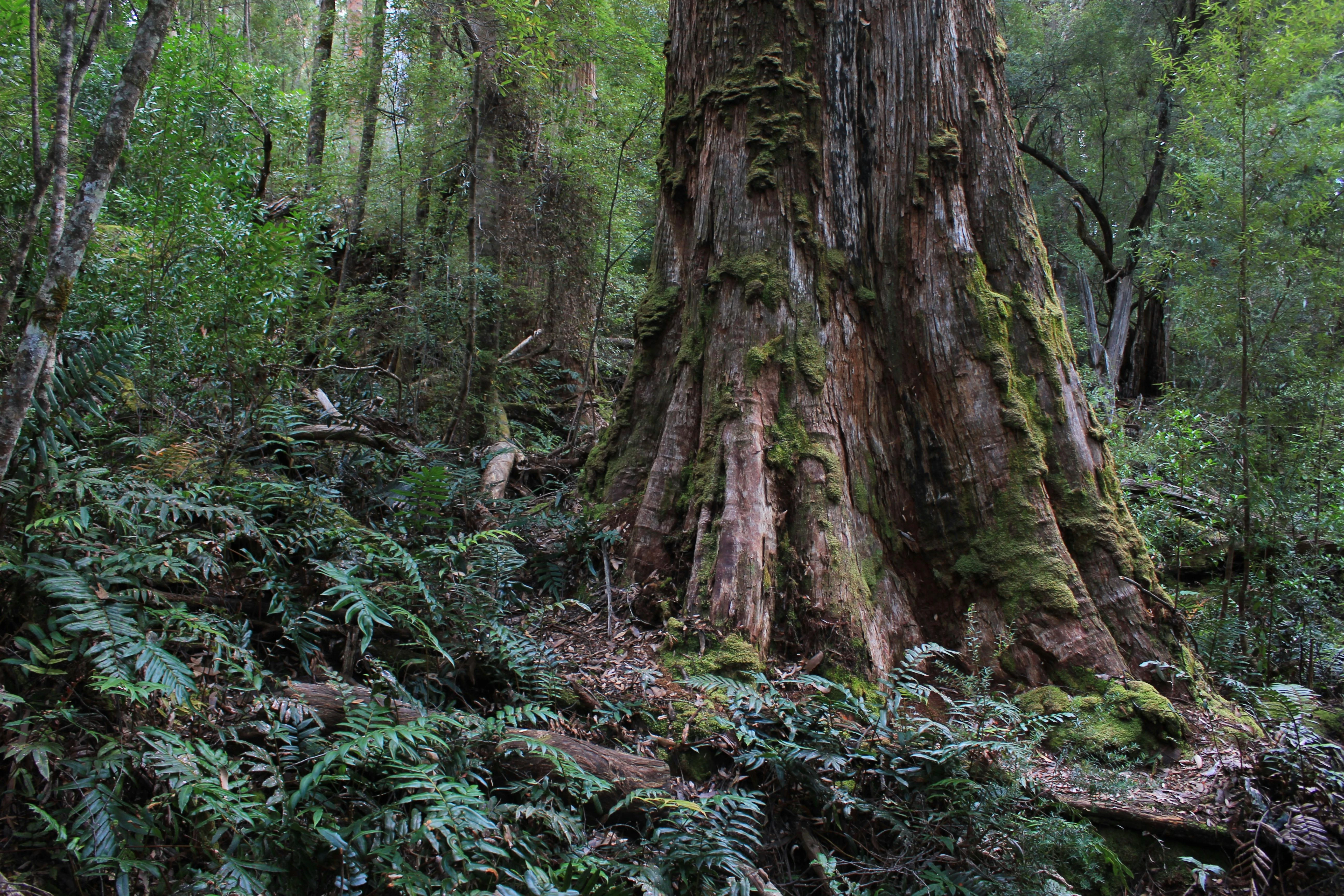
The Tarkine is the largest temperate rainforest in the southern hemisphere outside of South America. The 4WD loop through its northwest section connects Smithton on the Bass Strait coast with Arthur River on the west coast through a landscape that has remained largely unchanged since the Pleistocene. The track enters the myrtle beech rainforest - ancient trees with smooth orange-grey bark, covered in moss and liverwort, their canopy creating permanent dim green light. The open button-grass plains between the forest zones are uniquely Tasmanian - flat, treeless, tawny, with ancient pencil pines on the edges. The Arthur River at the western end is one of the cleanest rivers in the world - the water runs clear over white sand, undistorted by agricultural runoff. There is a single cruise boat on the river operating tours through the rainforest to the ocean. The west coast weather arrives here without interruption from any landmass between Tasmania and Argentina.
The Tarkine is the largest temperate rainforest in the southern hemisphere outside of South America.
Why this road
The region
The Tarkine is in the far northwest of Tasmania, adjacent to Cradle Mountain to the south and the Bass Strait coast to the north. Smithton is the main service town. Arthur River is a small coastal settlement with a general store and camping. The area has been at the centre of conservation debates for decades - logging of the rainforest perimeter continues on private land.

Before you go
The Tarkine receives very high rainfall - check conditions before travel. The mud on the button-grass plain access tracks becomes impassable after significant rain. Phone coverage is non-existent in the rainforest and very limited from Smithton. Fuel at Smithton only. Expect any weather in any season.
See a routing error?
Flag itWorth stopping for
Arthur River Cruise
A 3-hour boat cruise up the Arthur River through the rainforest to the meeting of the waters - the only way to see the deep river rainforest.
Cradle Mountain
2 hours south of the Tarkine - Tasmania's most iconic alpine landscape and the start of the Overland Track.
Route
Start
Smithton
End
Arthur River
Gallery

More roads like this