13 km
distance
20 min
Contour time
6.1
avg score
Sealed
surface
Scenery
Tasmania
The Tinderbox Peninsula separates the Derwent estuary from the D'Entrecasteaux Channel. The area south of Kingston is a...
Road quality
6.1 RQS
Every segment scored on 40+ data signals.
Accessibility
Fully sealed
Best in Sports car. Peak season: Year-round.
7-day forecast
Accessible to all vehicle types. The stage is short but requires concentration - the majority is spent going either left or right with no straight sections to rest.
Scored 6.1/10 by Contour's road quality algorithm across curviness, surface, elevation and traffic. Best suited for sports car drivers.
The road
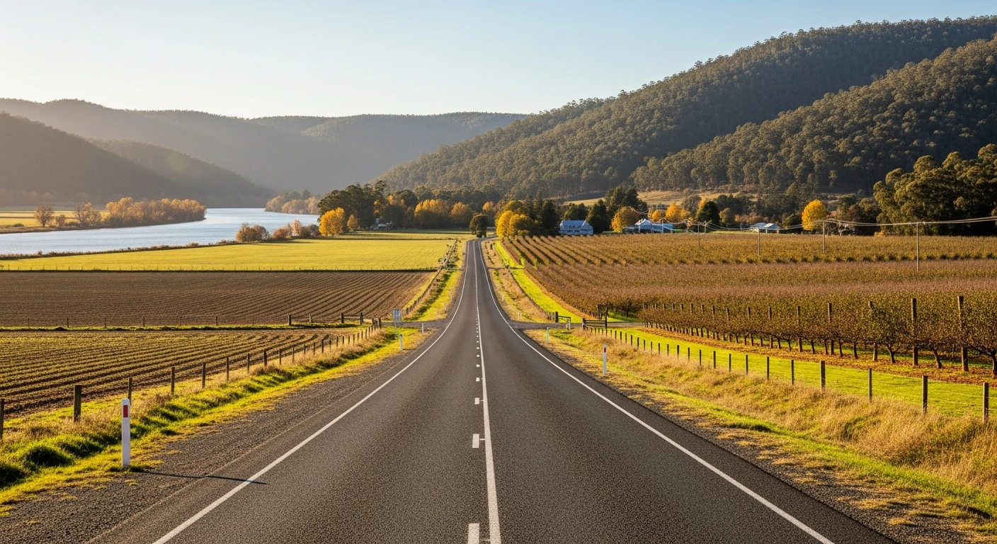
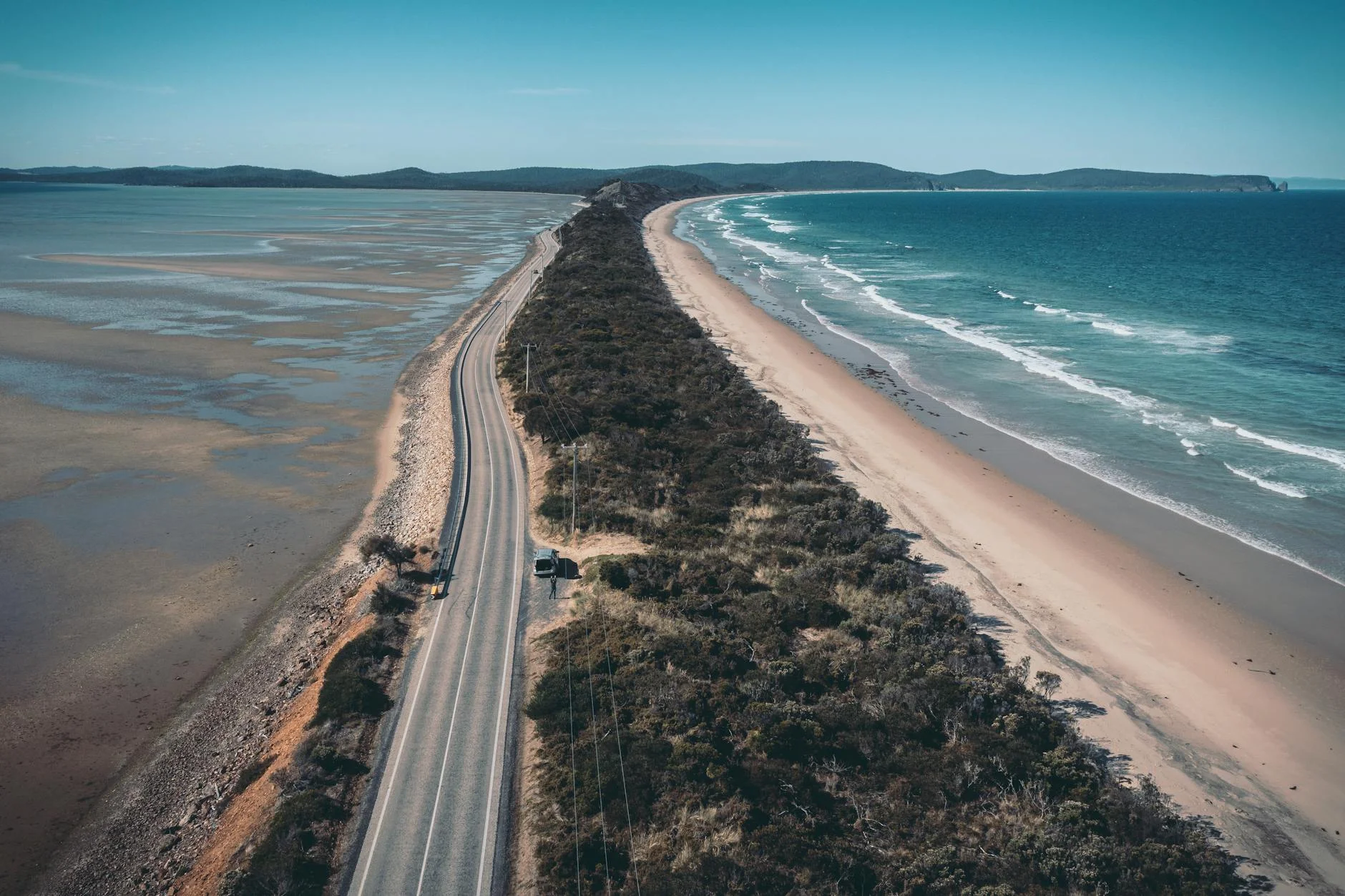
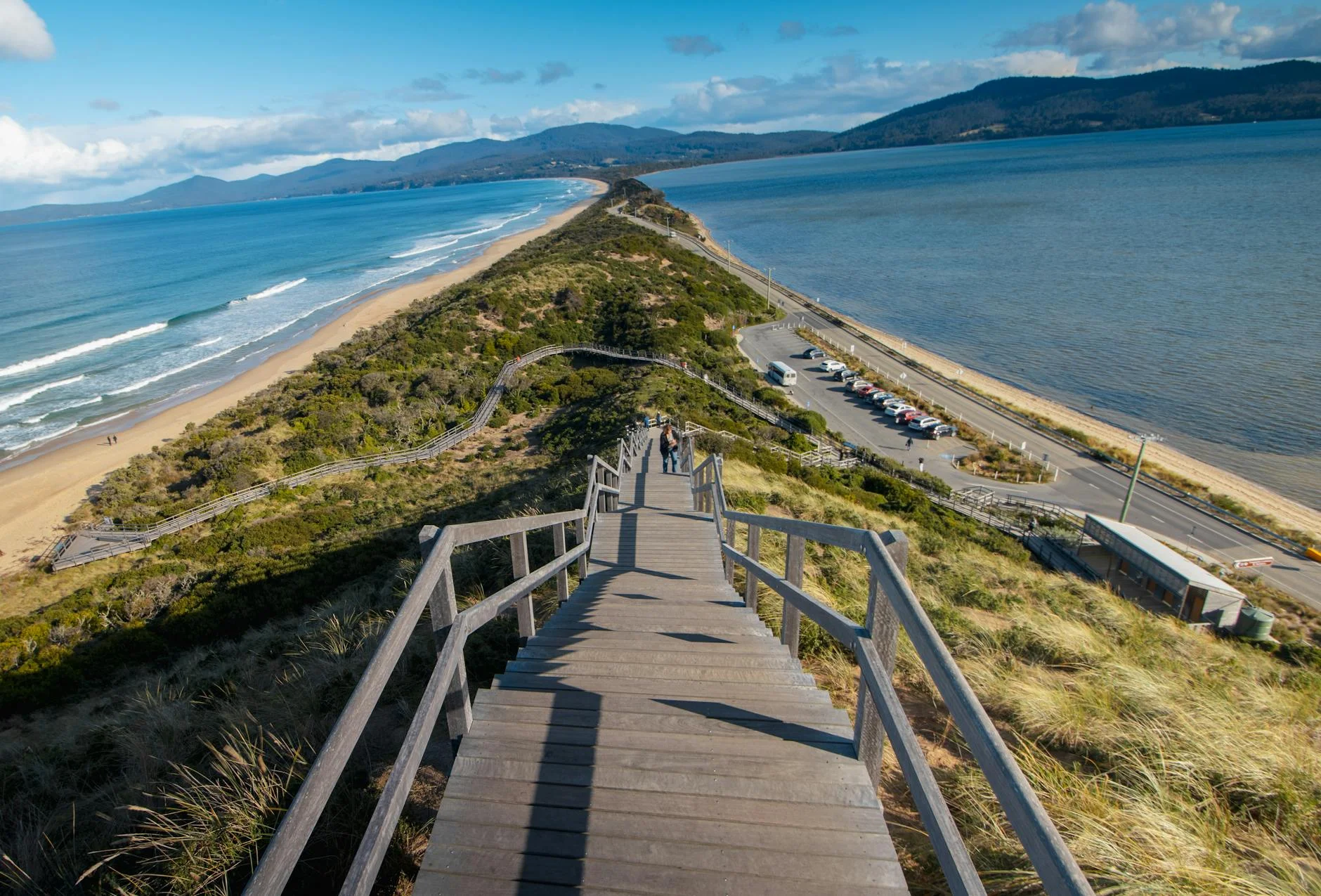
Tinderbox is the coastal stage - the one that trades the mountain character of the other Tasmania Tarmac stages for a peninsula drive with water on both sides. The road from the Howden area to the Tinderbox peninsula runs along the western shore of the Derwent estuary, with views across to the Eastern Shore and toward Bruny Island from the peninsula. Despite being short, this stage requires full concentration. The majority of the distance is spent going either left or right, with very few straight sections to catch your breath. The Tinderbox Marine Reserve at the end of the road is one of the best snorkelling locations in southern Tasmania.
Tinderbox is the coastal stage - the one that trades the mountain character of the other Tasmania Tarmac stages for a peninsula drive with water on both sides.
Why this road
The region
The Tinderbox Peninsula separates the Derwent estuary from the D'Entrecasteaux Channel. The area south of Kingston is a mix of hobby farms, reserves, and waterfront properties. The channel between Tinderbox and Bruny Island is a major shipping lane for the Hobart port.

Before you go
Fuel in Kingston - no services at Tinderbox. The road ends at the marine reserve carpark. The marine reserve is excellent for snorkelling if you are prepared for cold water (12-15 degrees year-round). No facilities on the peninsula beyond a basic carpark.
See a routing error?
Flag itWorth stopping for
Tinderbox Marine Reserve
Protected snorkelling area with kelp forests and diverse marine life in the D'Entrecasteaux Channel.
Bruny Island
Ferry from Kettering, 20 minutes from Kingston. Exceptional scenery and produce.
Route
Start
Howden
End
Tinderbox
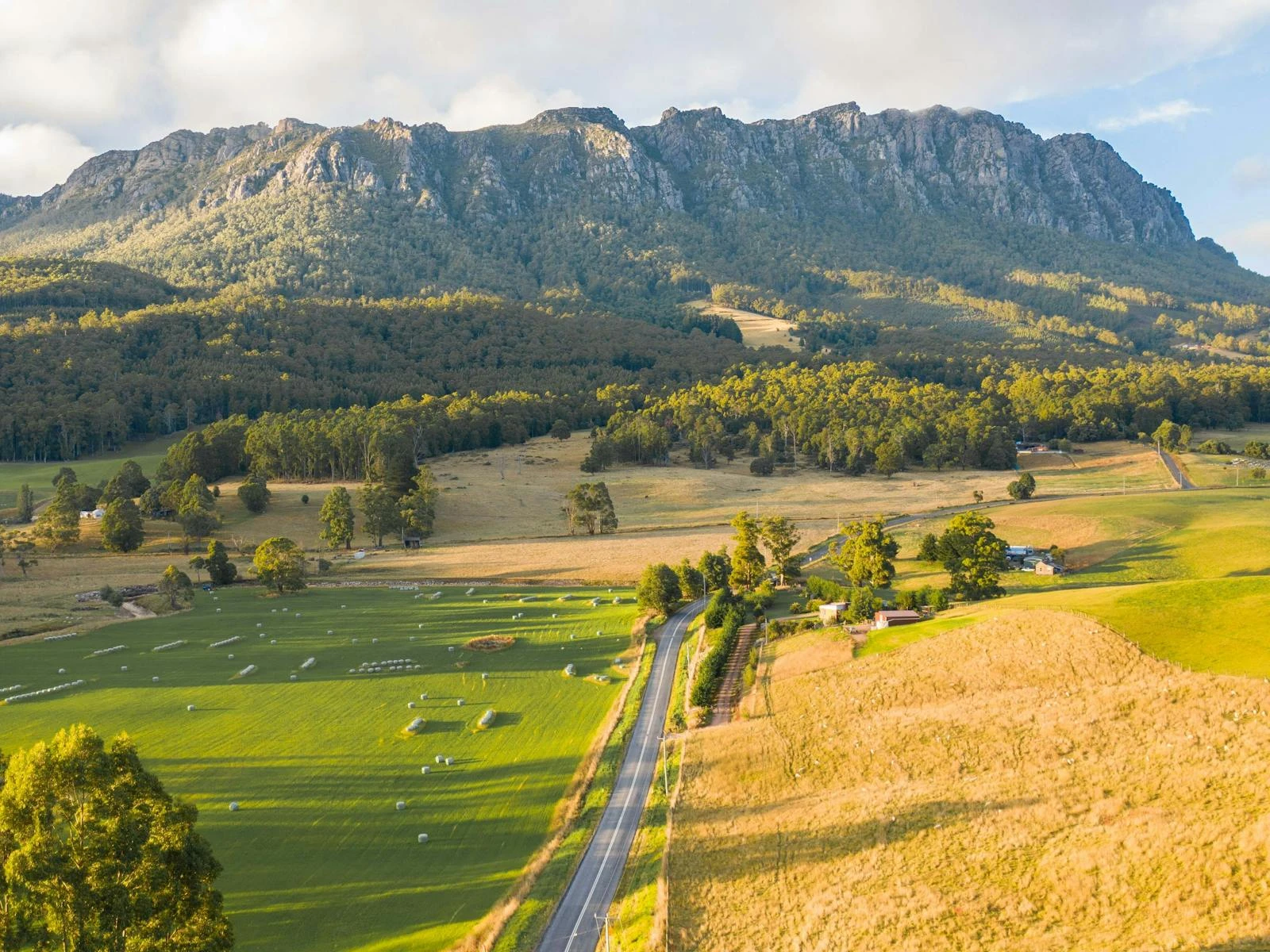
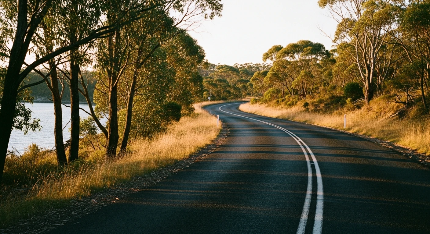
Gallery
More roads like this