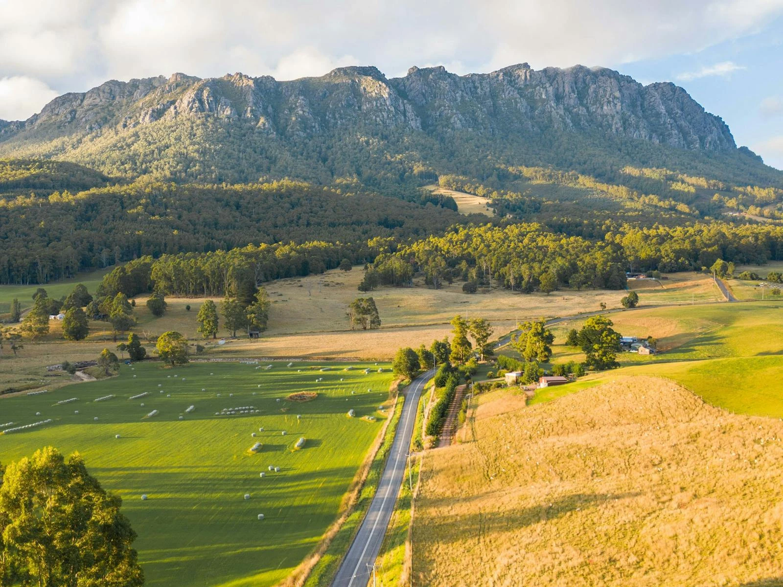
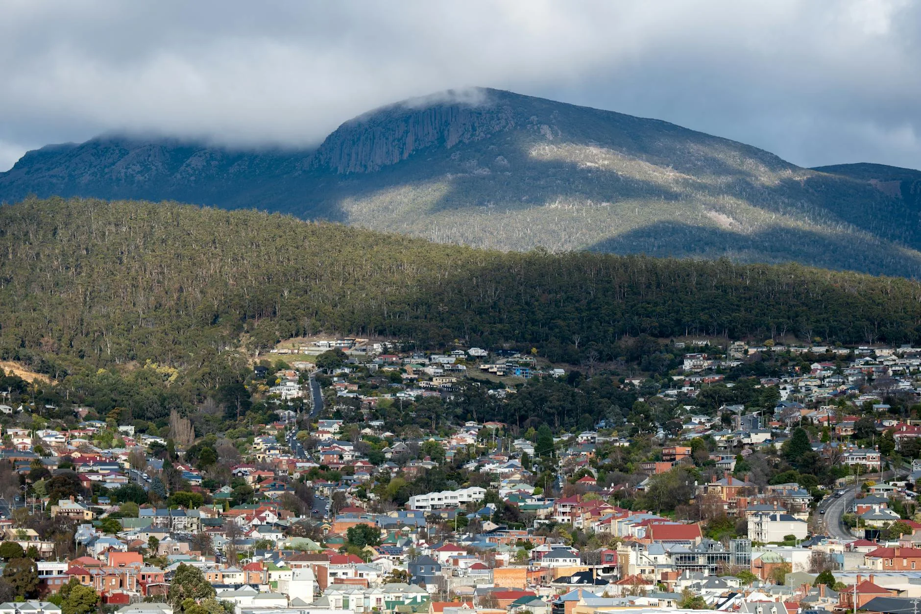
Mount Roland
26 km
distance
30 min
Contour time
8.4
avg score
Sealed
surface
Scenery
Tasmania
Sheffield sits in the shadow of Mount Roland, a sandstone summit that dominates the skyline of the northwest highlands....
Road quality
8.4 RQS
Strong. Above average on most quality signals.
Accessibility
Fully sealed
Best in Sports car. Peak season: Year-round.
7-day forecast
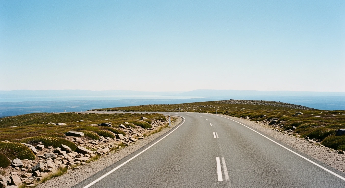
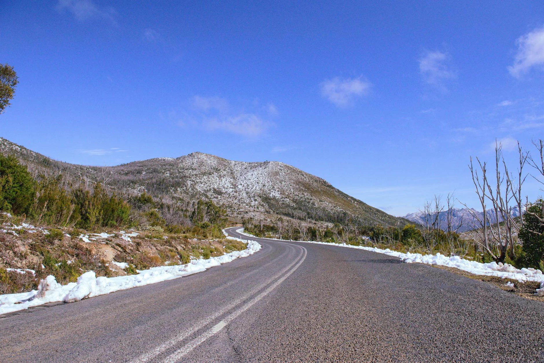
A demanding stage with significant elevation change. Fast enough to reward a sports car but requires concentration over the full 26 km.
Scored 8.4/10 by Contour's road quality algorithm across curviness, surface, elevation and traffic. Best suited for sports car drivers.
The road
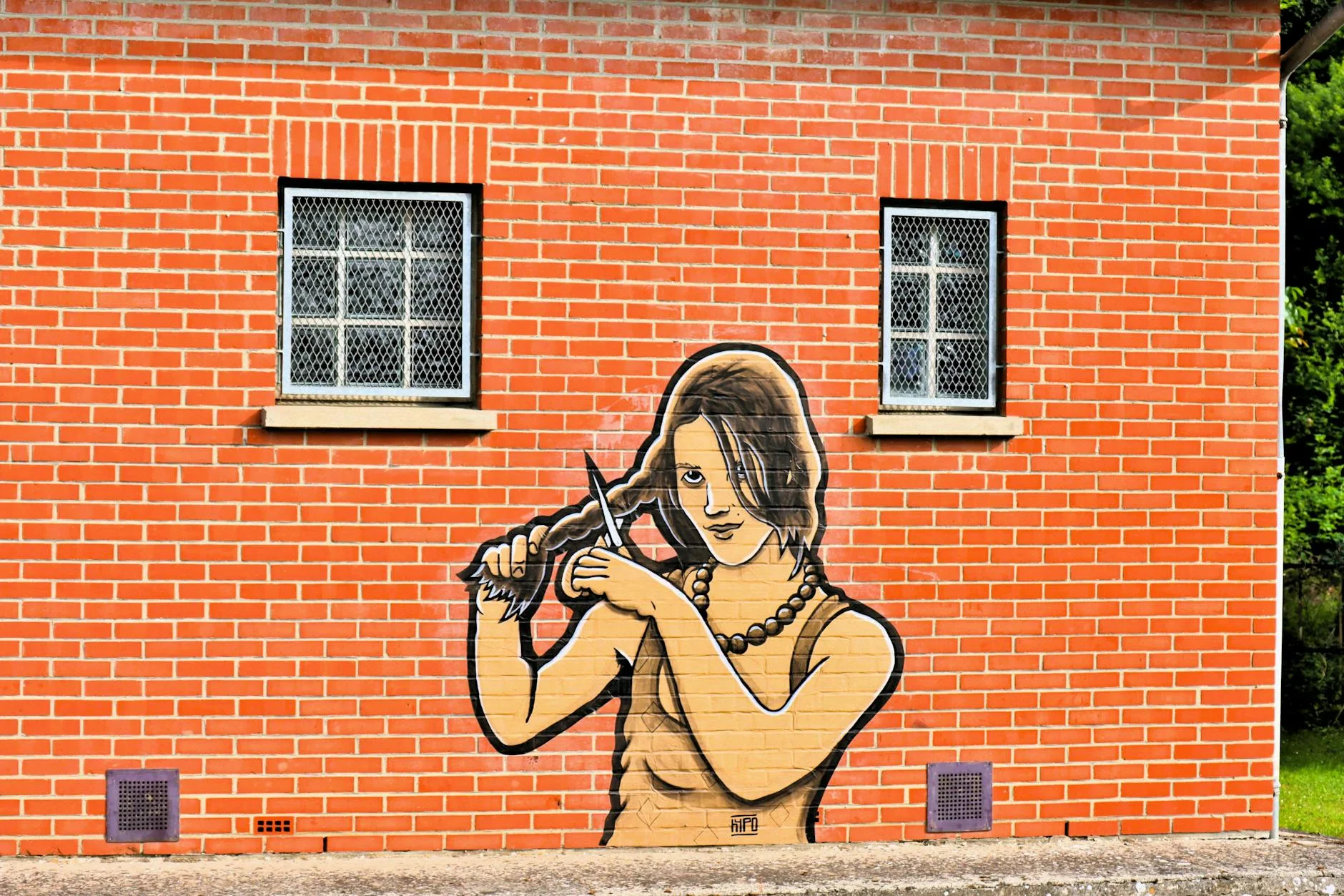
The Mount Roland stage - named for the distinctive flat-topped 1,234-metre peak that dominates the skyline of the northwest highlands - runs 26 kilometres south from Sheffield through mixed farming and forest country. This is a significantly longer and more demanding stage than a casual drive between Sheffield and Railton. The stage climbs steadily from 312 m near Sheffield to 740 m as it approaches the Cethana area, with Mount Roland visible for much of the route. The road transitions from open farming country to denser bush as the altitude increases. Sheffield itself has reinvented as an outdoor gallery town with murals covering many building facades.
Why this road
The region
Sheffield sits in the shadow of Mount Roland, a sandstone summit that dominates the skyline of the northwest highlands. The town was established in the 1880s as a farming service centre. The mural program that transformed its economy was started in 1986. The region links the coast at Devonport to the Cradle Mountain tourism corridor.
Before you go
Fuel in Sheffield. The town has good coffee and the Kentish Museum covers northwest farming history. Mount Roland is accessible via a day walk from Claude Road - allow four hours return. The stage covers 428 m of elevation gain.
See a routing error?
Flag itWorth stopping for
Sheffield Murals
Over 60 murals on building facades throughout the town depicting the region's history.
Mount Roland Walk
Full day return walk to the 1,234 m summit with views across the northwest to Bass Strait and south to Cradle Mountain.
Route
Start
Sheffield
End
Near Cethana
Gallery
More roads like this