9 km
distance
14 min
Contour time
7.1
avg score
Sealed
surface
Scenery
Tasmania
The central Tasmanian highlands around Tarraleah are Hydro country - the plateau that collects the rainfall powering a...
Road quality
7.1 RQS
Strong. Above average on most quality signals.
Accessibility
Fully sealed
Best in Sports car. Peak season: Year-round.
7-day forecast
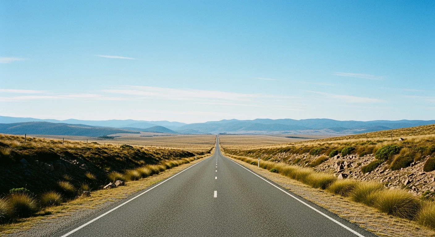
Short and intense. Sports car or motorbike rewarding on the hairpin section. 9 km but enough content for a much longer stage.
Scored 7.1/10 by Contour's road quality algorithm across curviness, surface, elevation and traffic. Best suited for sports car drivers.
The road
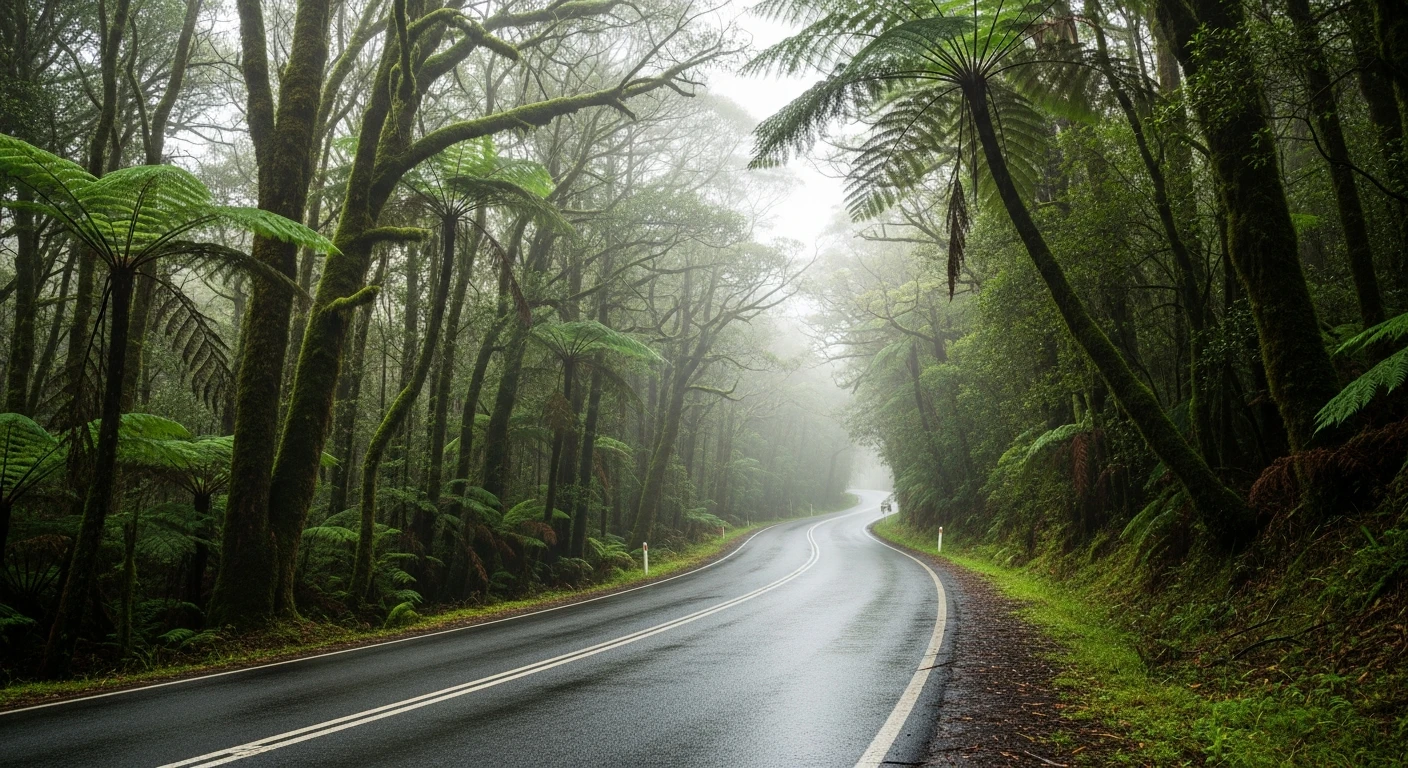
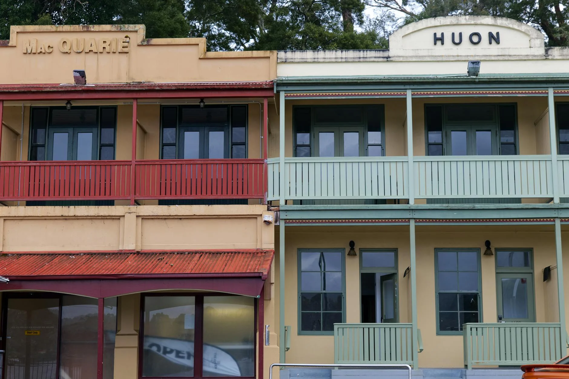
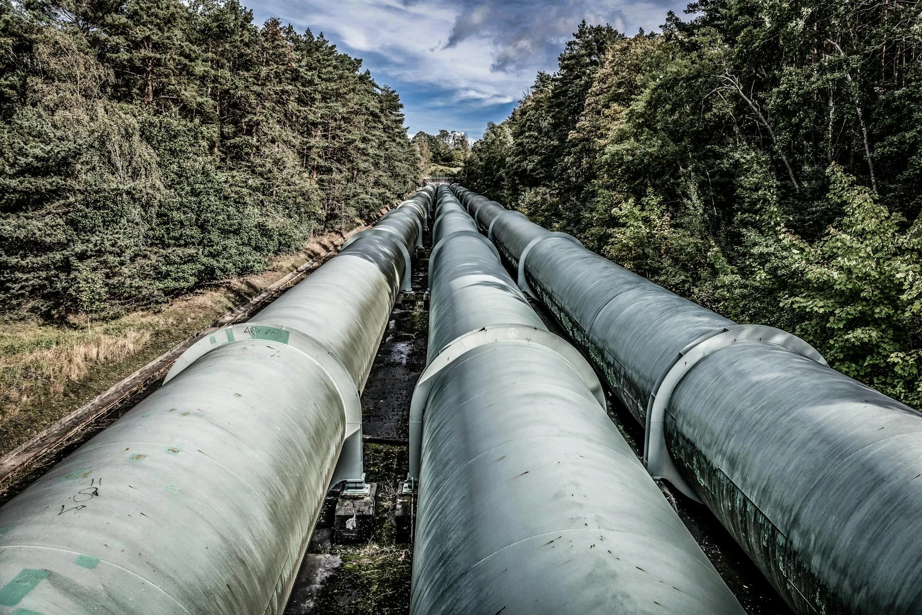
The shortest stage in the collection and the one with the most concentrated corners per kilometre. The 9-kilometre route near the central highlands village of Tarraleah drops into a gorge and climbs out through a series of hairpins built to service the Hydro Tasmania power stations. The elevation ranges from 356 m to 662 m - a 305-metre drop and climb in under 9 km. Tarraleah itself is a preserved Hydro village - the worker cottages, the powerhouse, and the penstock pipes dropping from the plateau to the generators are all intact and visible from the road. The village was built in the 1930s for the Hydro workers and remained a company town until the 1990s. It is now operated as accommodation and a heritage attraction.
The shortest stage in the collection and the one with the most concentrated corners per kilometre.
Why this road
The region
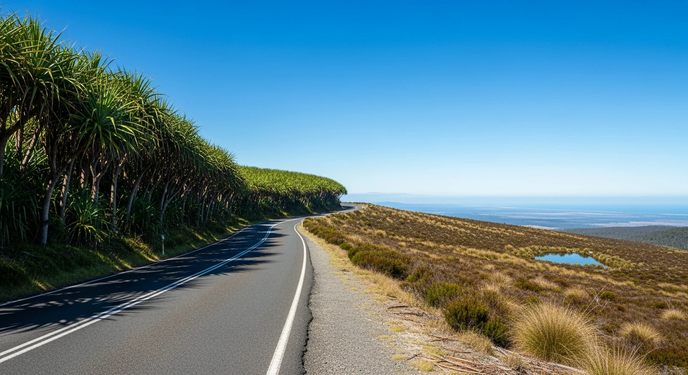
The central Tasmanian highlands around Tarraleah are Hydro country - the plateau that collects the rainfall powering a significant portion of Tasmania's electricity. The lakes, canals, penstocks and power stations are everywhere in this landscape, and the roads that connect them are built to engineering standards - wide enough, sealed, and well maintained.
Before you go
Fuel in Bothwell or New Norfolk before the central highlands - limited services in this area. The Tarraleah Lodge operates the village and has accommodation and a restaurant. The penstock pipes and power station are visible from the road.
See a routing error?
Flag itWorth stopping for
Tarraleah Power Station
The generating station at the base of the penstocks - visible from the road and part of Tasmania's Hydro heritage.
Lake St Clair
The southern end of the Cradle Mountain-Lake St Clair National Park, 45 minutes from Tarraleah.
Route
Start
Near Tarraleah
End
Tarraleah (south)
Gallery
More roads like this