36 km
distance
40 min
Contour time
7.1
avg score
Sealed
surface
Scenery
Tasmania
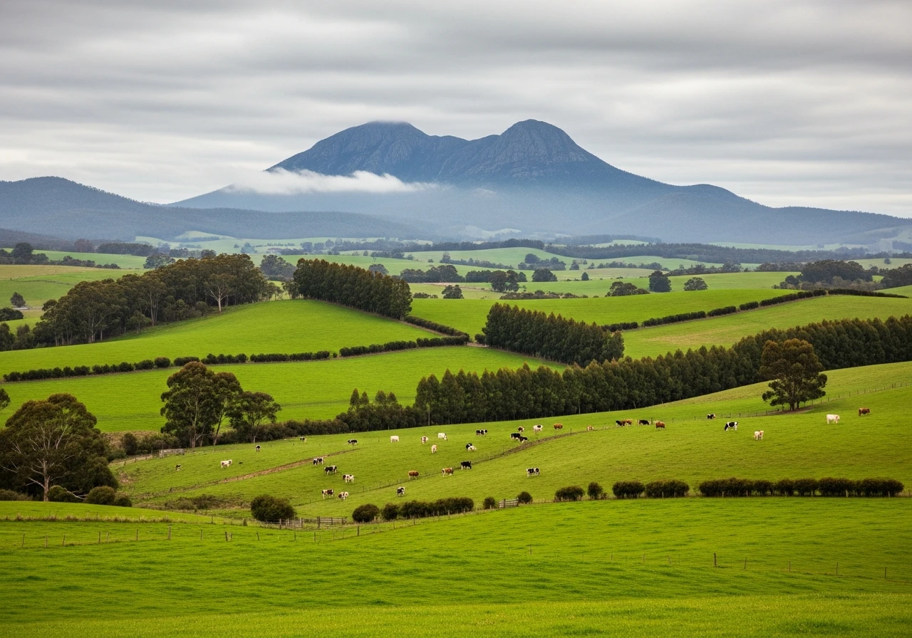
The northwest coast between Burnie and Ulverstone is intensive agricultural country - some of the most productive in...
Road quality
7.1 RQS
Strong. Above average on most quality signals.
Accessibility
Fully sealed
Best in Sports car. Peak season: Year-round.
7-day forecast
Demands confidence in varied conditions. Sports car and motorbike rewarding but the crests and direction changes require full attention over 36 km.
Scored 7.1/10 by Contour's road quality algorithm across curviness, surface, elevation and traffic. Best suited for sports car drivers.
The road
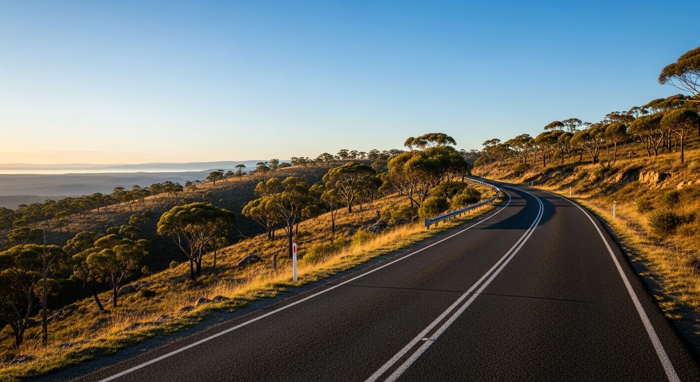
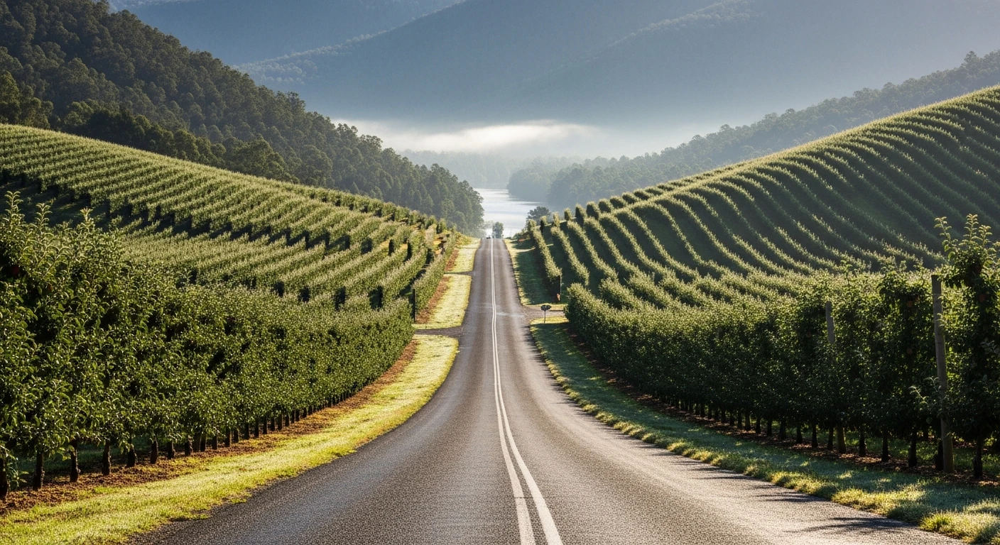
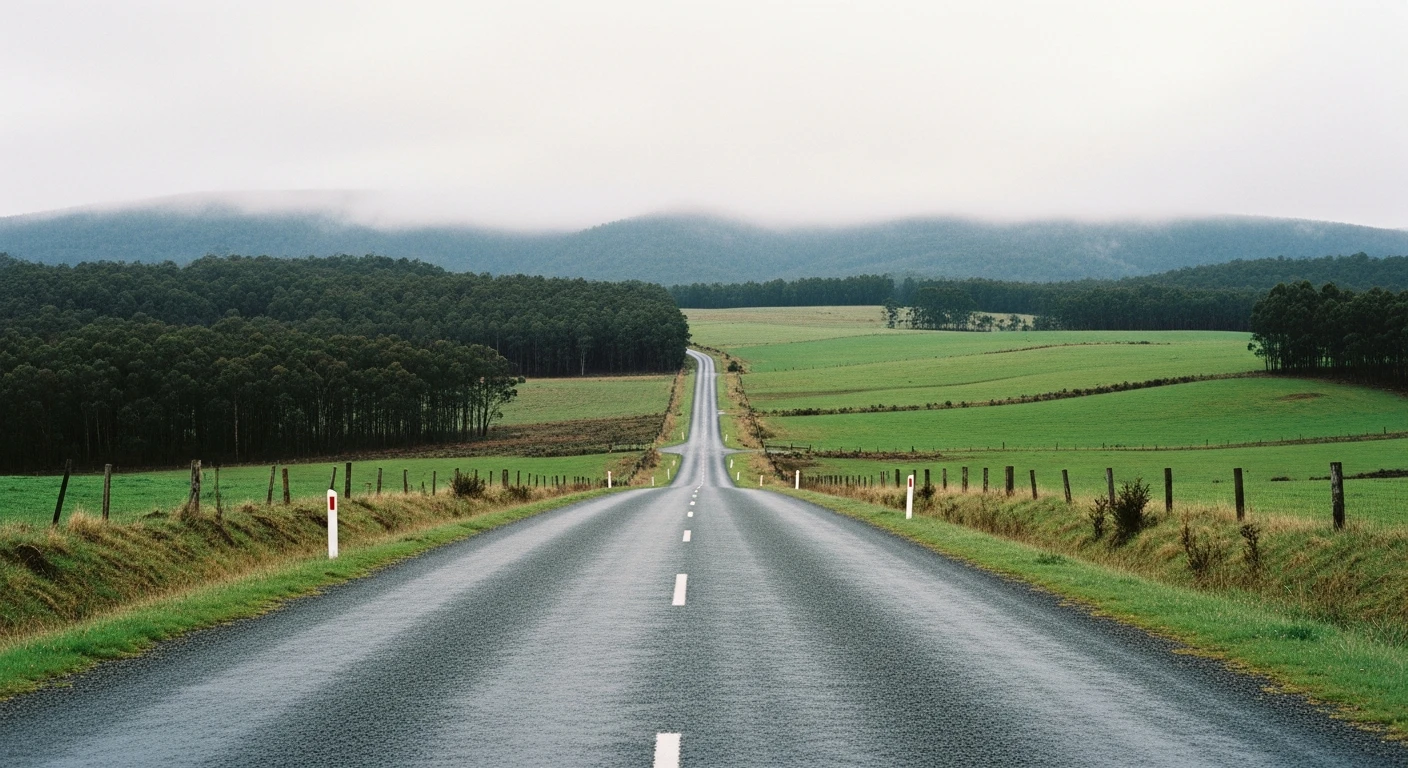
Riana is not the short agricultural stage it might sound like. At 36 kilometres, it is one of the longest and most varied stages in Targa Tasmania, winding up and down three separate river valleys in the northwest between the Dial Range country and the coast near Penguin. The road is full of difficult-to-read crests and corners, with some long straights where the car becomes light over undulations. The variety of conditions across the full 36 km is what makes Riana respected by competitors. Tight hedgerow bends through farming country alternate with open sections, river valley descents, and ridge-top running with views to the coast. The elevation ranges from 79 m to 411 m. This is not a stage you can drive on autopilot - every valley brings a different character.
Riana is not the short agricultural stage it might sound like.
Why this road
The region
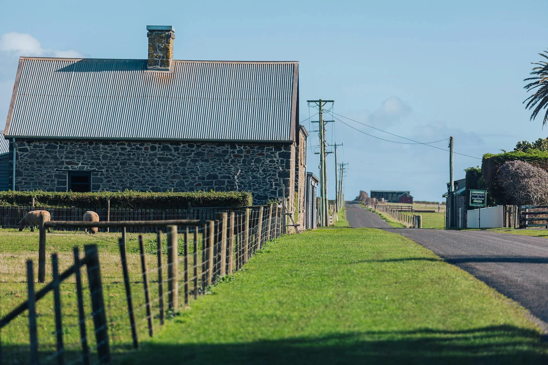
The northwest coast between Burnie and Ulverstone is intensive agricultural country - some of the most productive in Tasmania - with dairy farms, vegetable operations, and orchards. Riana is a small settlement next to the Dial Range. Penguin is a small coastal town known for its resident little penguin colony.
Before you go
Fuel in Penguin or Ulverstone before the stage. The road passes through farming country and is used by farm vehicles, particularly in the morning. Best driven mid-morning to mid-afternoon.
See a routing error?
Flag itWorth stopping for
Penguin penguin colony
Little penguins come ashore at dusk at a viewing area in Penguin - worth timing the drive to catch it.
Dial Range Lookout
Views over the northwest coast from the ridge above Riana.
Route
Start
South Riana
End
Near Penguin
Gallery

More roads like this