12 km
distance
18 min
Contour time
7.4
avg score
Sealed
surface
Scenery
Tasmania
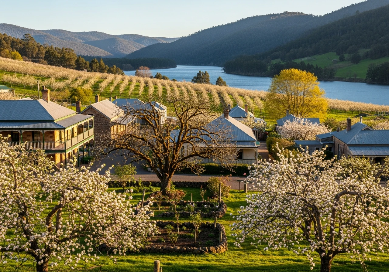
Longley is a rural residential locality in the Kingborough local government area, about 13 km west of Kingston. The B64...
Road quality
7.4 RQS
Strong. Above average on most quality signals.
Accessibility
Fully sealed
Best in Sports car. Peak season: Year-round.
7-day forecast
Technical mountain road. Sports car or motorbike rewarding on the tight corners. The surface can be damp and shaded - allow for reduced grip.
Scored 7.4/10 by Contour's road quality algorithm across curviness, surface, elevation and traffic. Best suited for sports car drivers.
The road
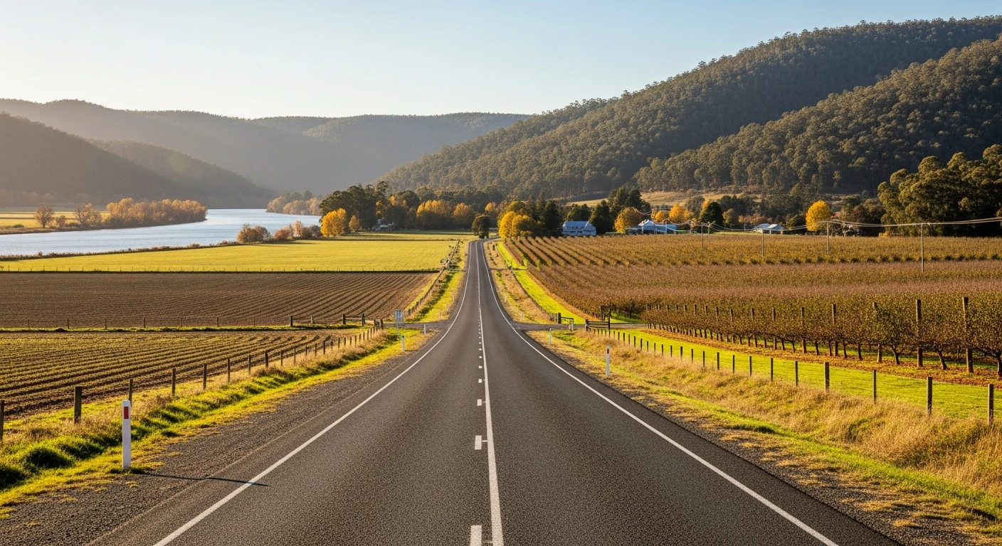
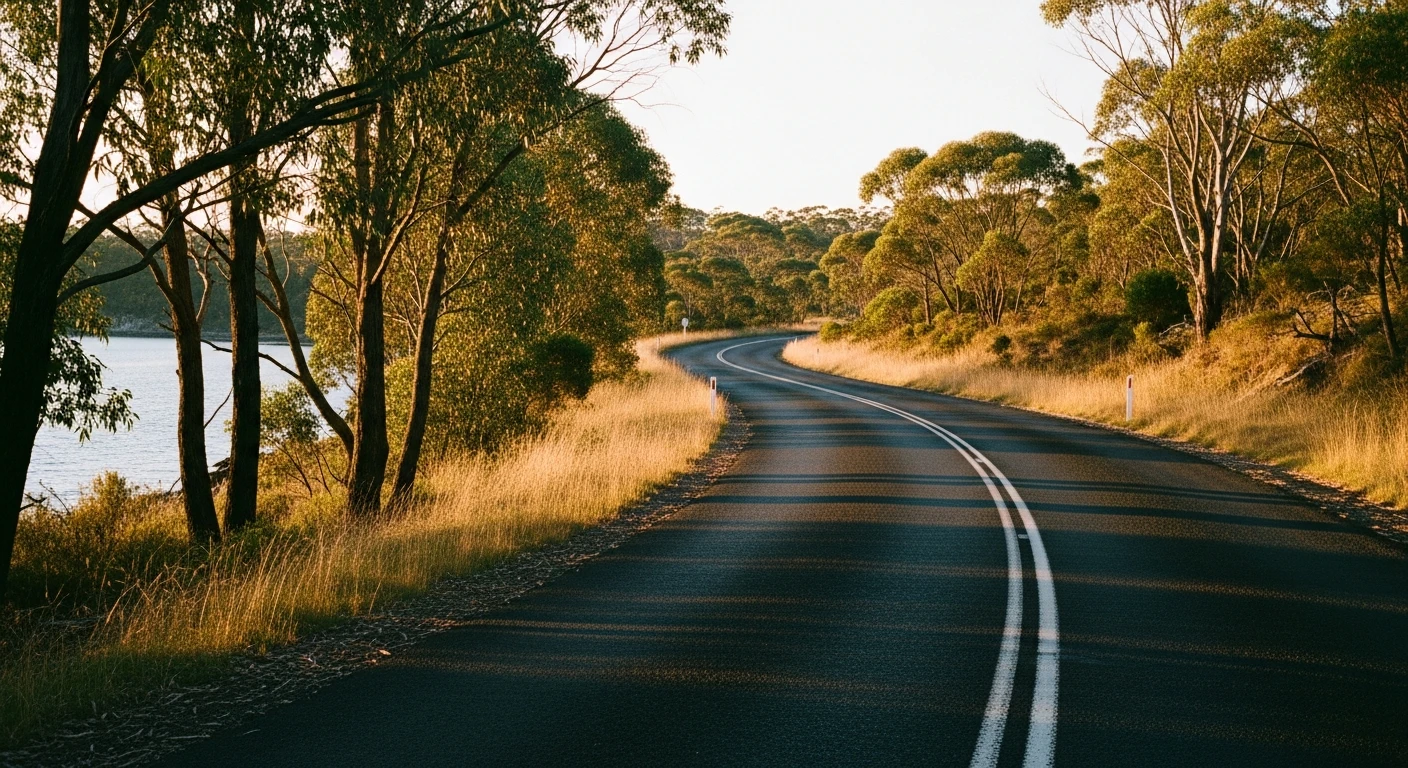
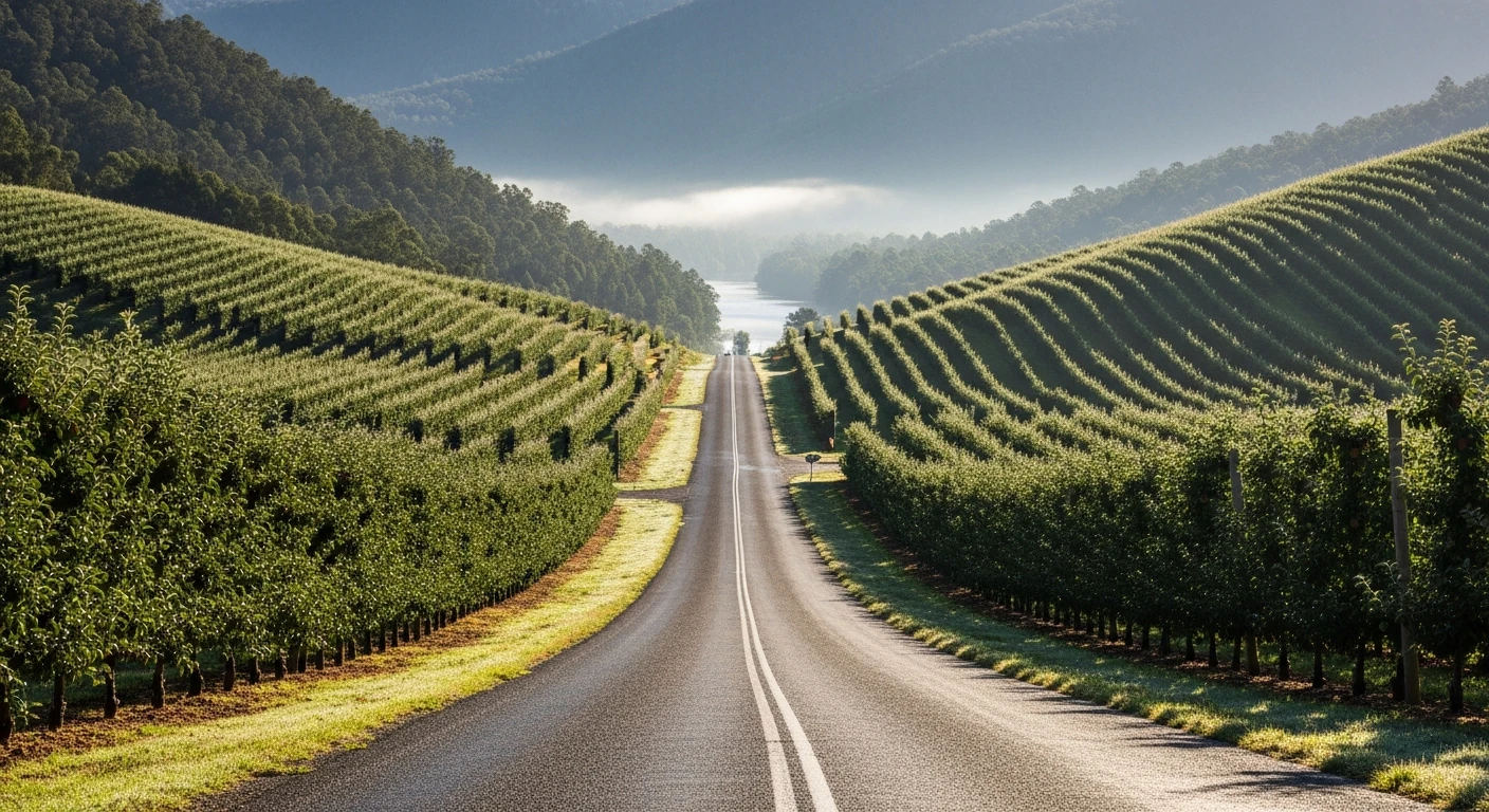
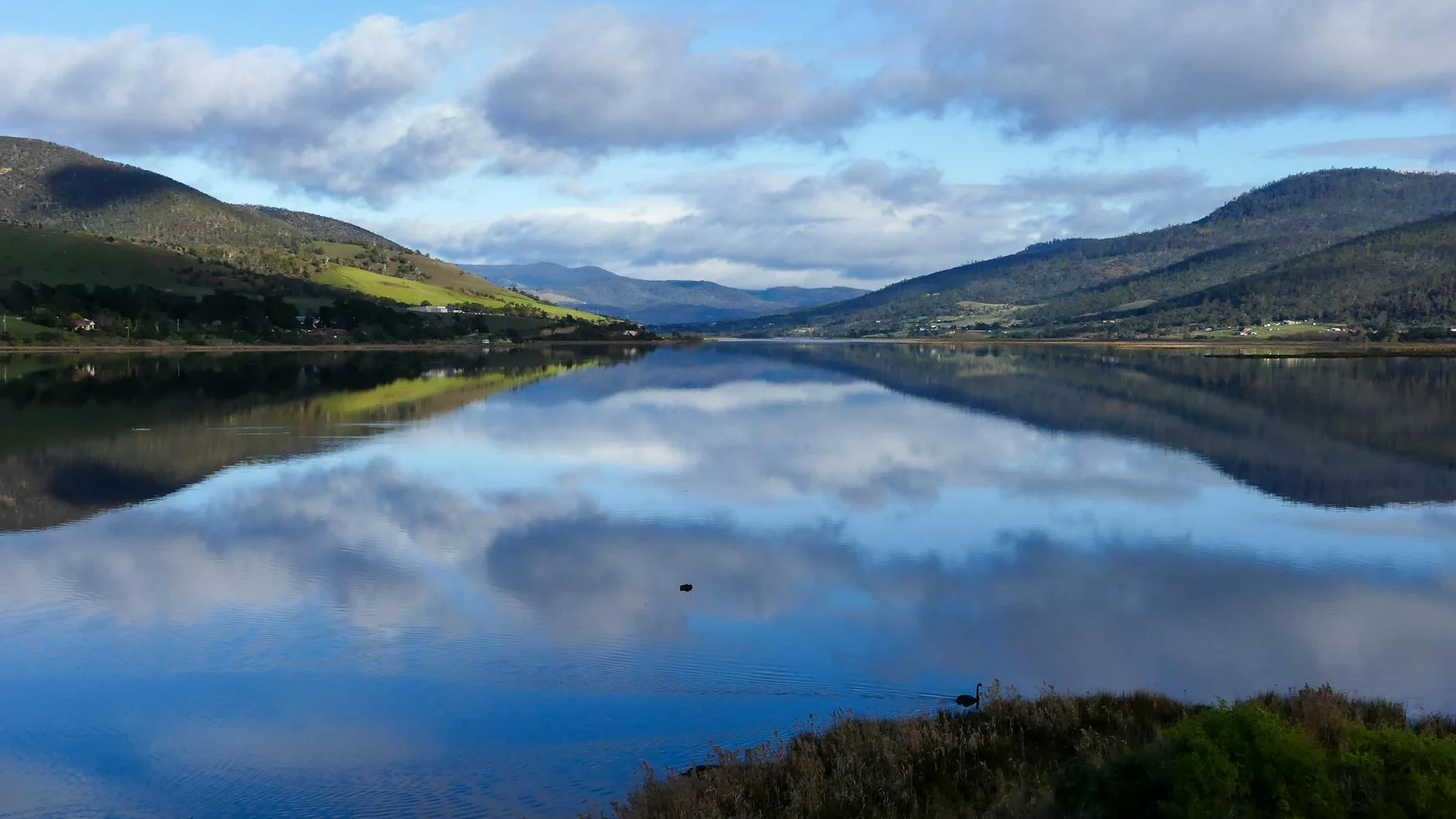
Longley is not the gentle orchard drive it might appear on a map. The 12-kilometre stage climbs from the Longley International Hotel area up the southern side of kunanyi/Mount Wellington to Long Creek at Neika, gaining 322 metres on a road that is tight, twisty, and shaded for most of its length. The Huon Road (B64) here does not see a lot of traffic or sunlight, and the surface may be slippery when wet. The combination of sweeping bends and sharp corners makes this a rhythm stage that rewards smooth inputs. The road winds through the foothills with the mountain above, alternating between sections of bush and occasional clearings with views across the surrounding hills. It is close to Hobart but feels remote once you are committed.
Longley is not the gentle orchard drive it might appear on a map.
Why this road
The region
Longley is a rural residential locality in the Kingborough local government area, about 13 km west of Kingston. The B64 Huon Road winds through the foothills of kunanyi/Mount Wellington and on through Neika and Longley. The area sits at the transition between suburban Hobart and the rural Huon Valley.
Before you go
Fuel in Kingston before departing. No services at Longley or Neika. The road can be damp and shaded at any time of year - allow for reduced grip. Elevation ranges from 164 m to 487 m.
See a routing error?
Flag itWorth stopping for
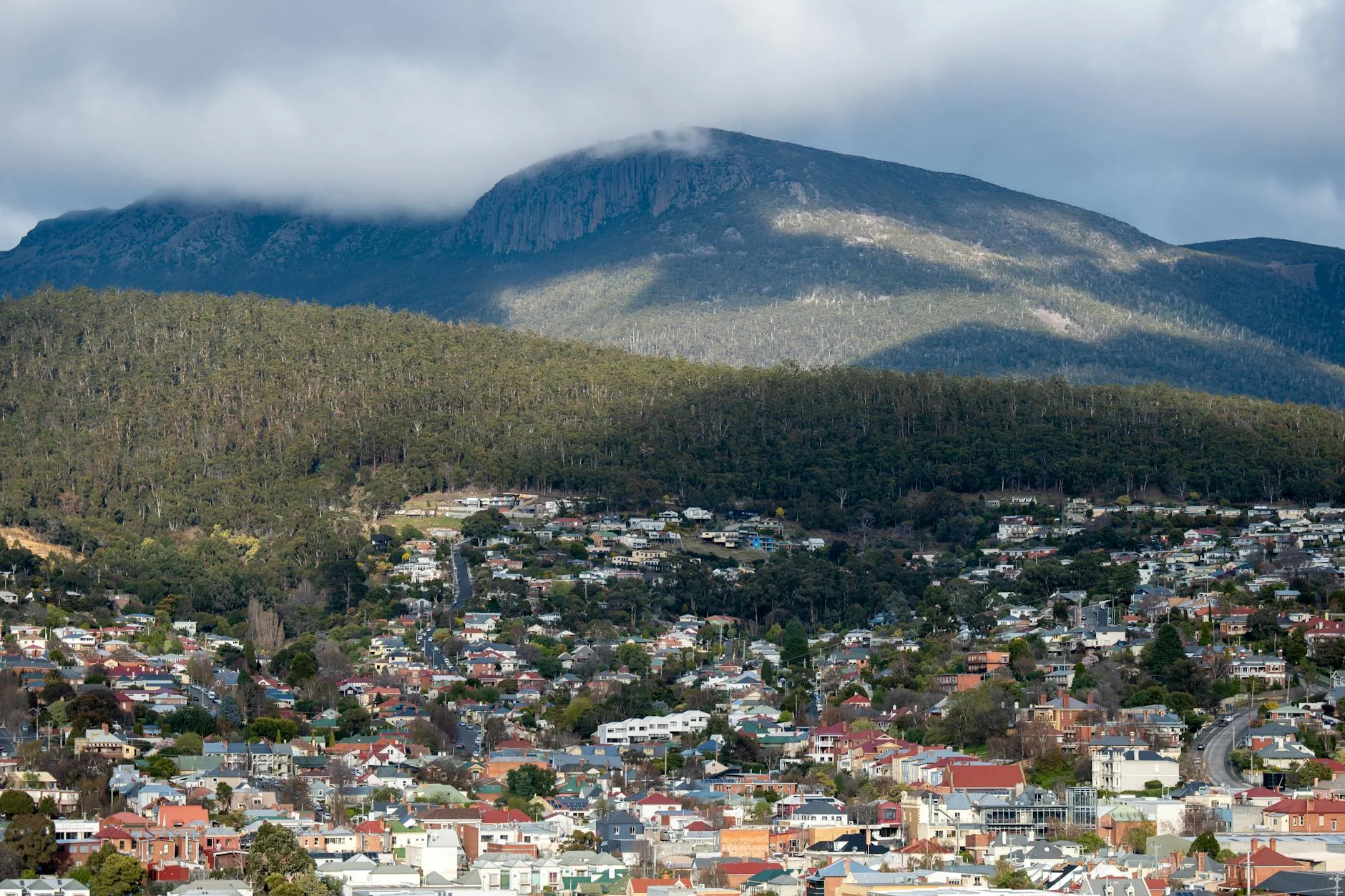
kunanyi/Mount Wellington
The summit is accessible by road from the Hobart side - panoramic views over the city and the Derwent.
Kingston
Main services for the area, 15 minutes from Longley.
Route
Start
Longley
End
Neika
Gallery
More roads like this