Oyster Cove
12 km
distance
18 min
Contour time
5.8
avg score
Sealed
surface
Scenery
Tasmania
The D'Entrecasteaux Channel separates the Tasmanian mainland from Bruny Island and runs south from Hobart to the open...
Road quality
5.8 RQS
Every segment scored on 40+ data signals.
Accessibility
Fully sealed
Best in Sports car. Peak season: Year-round.
7-day forecast
Good sports car and motorbike stage through the southern Channel country. Light traffic throughout.
Scored 5.8/10 by Contour's road quality algorithm across curviness, surface, elevation and traffic. Best suited for sports car drivers.
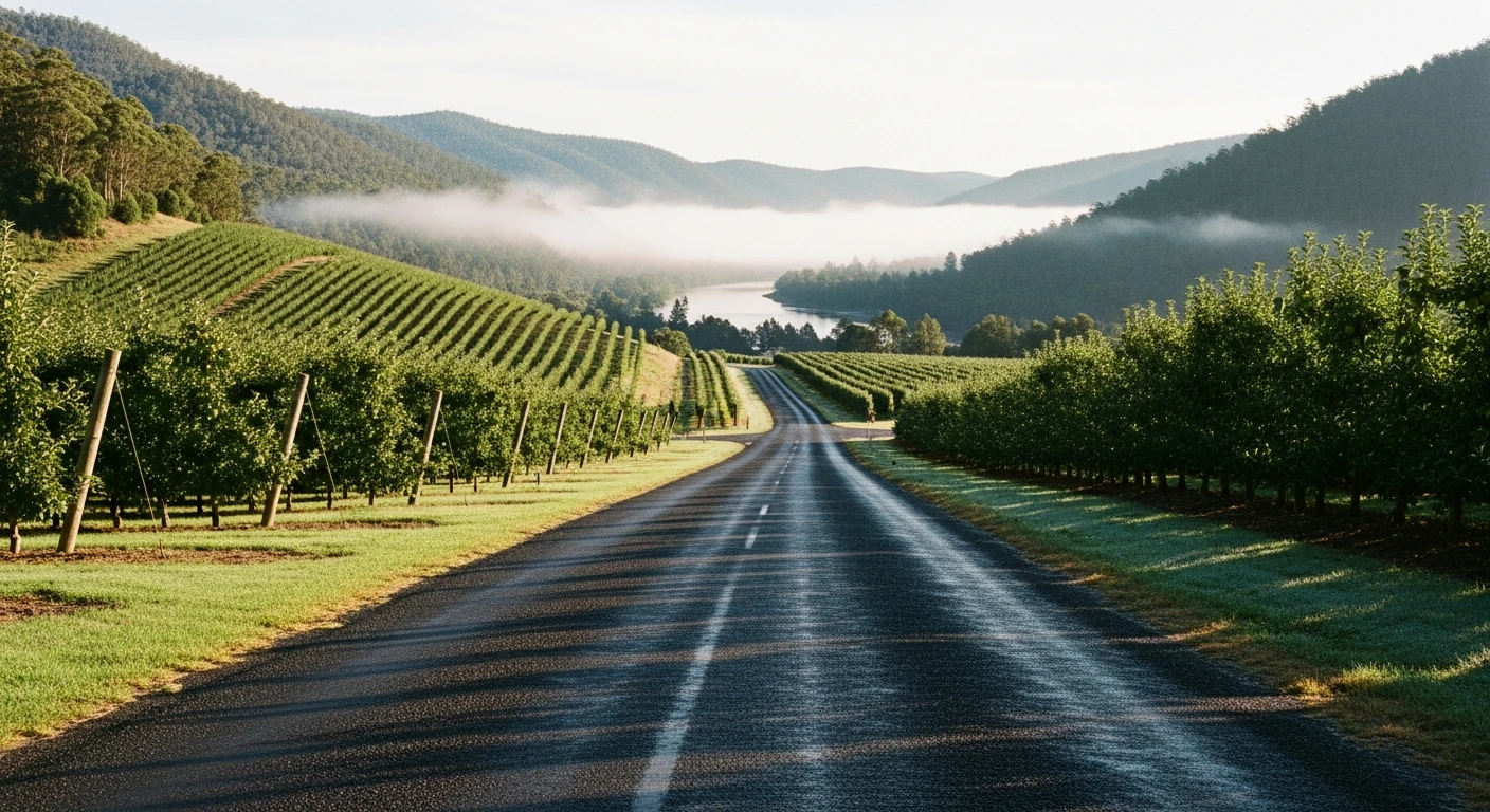
The road
The Oyster Cove stage runs through the Channel country south of Hobart, navigating a series of tight ridge-and-valley transitions where the terrain drops sharply to the D'Entrecasteaux Channel water on one side and rises into bush on the other. The 12-kilometre stage has 242 m of elevation change, alternating between ridgeline sections with channel views and valley descents. Light traffic, consistent surface, and the kind of rural scenery that makes the southern Channel one of the most underdriven parts of the island. The channel is visible at several points through the she-oak and teatree, with Bruny Island visible across the water on clear days.
Why this road
The region
The D'Entrecasteaux Channel separates the Tasmanian mainland from Bruny Island and runs south from Hobart to the open Southern Ocean. Oyster Cove is significant in Tasmanian history as the site where Aboriginal Tasmanians were resettled in 1847 after the closure of the Flinders Island settlement. Truganini, one of the most recognised figures of this period, died at Oyster Cove in 1876.
History
Oyster Cove was established as a reserve for the remaining Aboriginal Tasmanians in 1847 after the earlier settlement at Flinders Island was closed. The history of this place is part of what it means to drive this road.
Before you go
Fuel in Margate. Road is open year-round with light traffic. The channel views are best on clear days. The Oyster Cove historic site has interpretive signage worth reading.
See a routing error?
Flag itWorth stopping for
Bruny Island Ferry
Ferry from Kettering, 10 minutes from the stage area, gives access to Bruny Island's beaches and food producers.
Oyster Cove historic site
The last settlement of Aboriginal Tasmanians in the 19th century, with interpretive signage.
Route
Start
Near Oyster Cove
End
Flowerpot
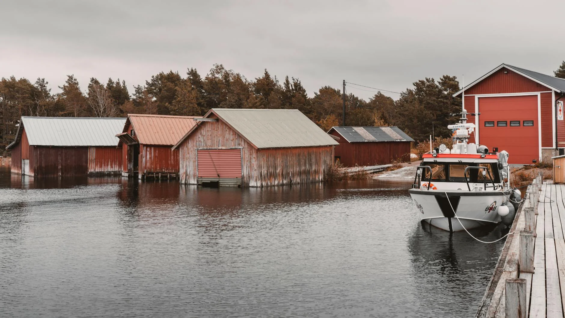
Gallery
More roads like this