South Johnstone to Malanda
80 km
distance
1h 30m
Contour time
7.6
avg score
Sealed
surface
Scenery
Queensland
The southern Atherton Tablelands between the Palmerston Highway and the Waterfall Circuit is mixed farming country...
Road quality
7.6 RQS
Strong. Above average on most quality signals.
Accessibility
Fully sealed
Best in Sports car. Peak season: May-Nov.
7-day forecast
A full touring drive covering varied terrain. The coastal section is open and fast; the Palmerston climb demands braking discipline; the tablelands section is rolling and pastoral. Suits all vehicle types.
Scored 7.6/10 by Contour's road quality algorithm across curviness, surface, elevation and traffic. Best suited for sports car drivers.
The road
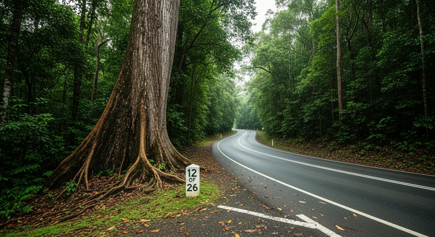
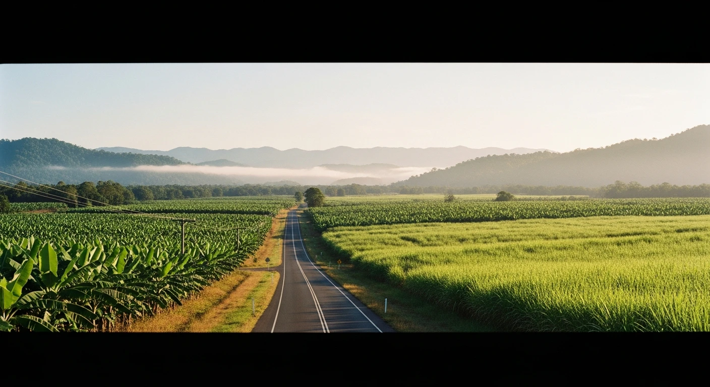
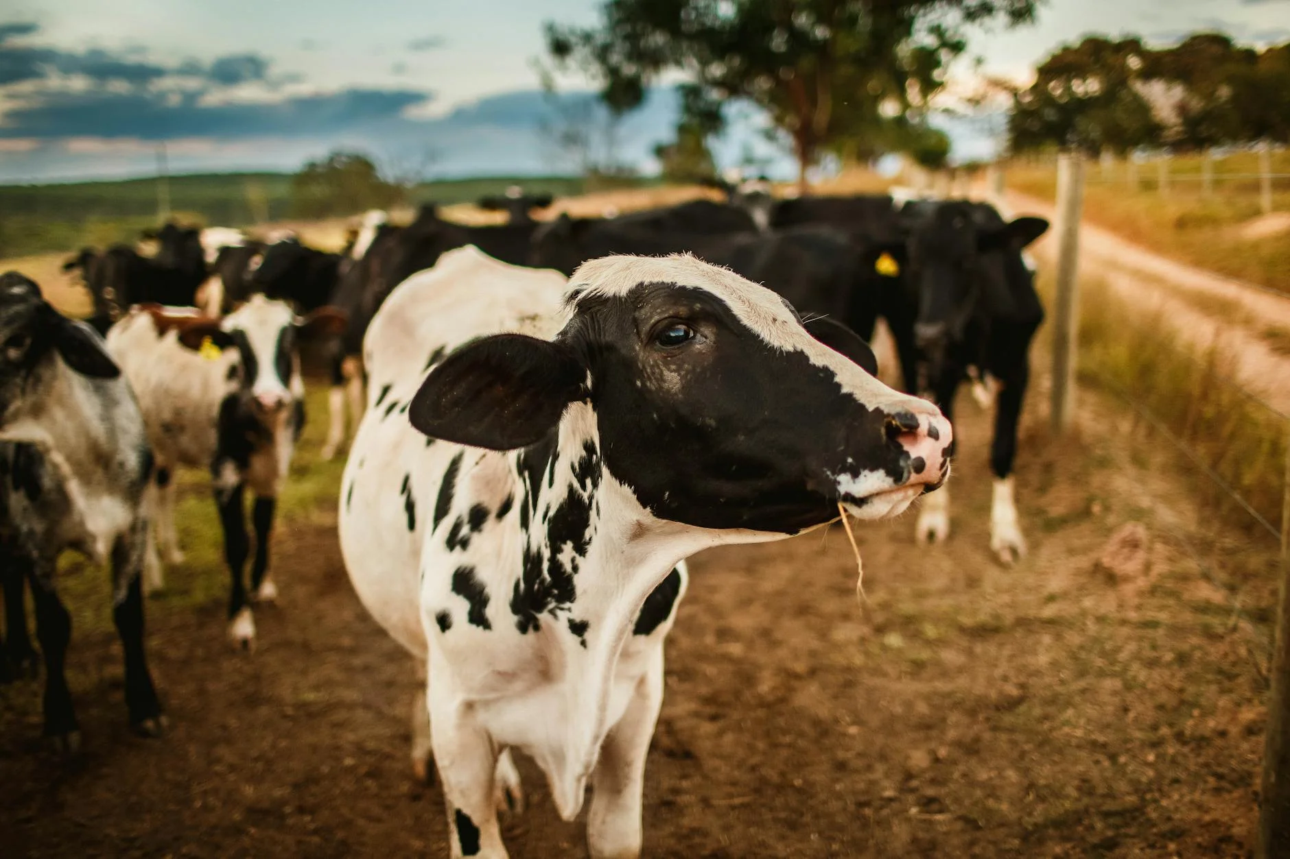
The South Johnstone to Malanda route is the full coast-to-tablelands connector in the FNQ collection. Starting from the small sugar town of South Johnstone, the 80-kilometre drive climbs from sea level through the Palmerston Highway corridor - one of the most dramatic sealed roads in tropical Australia - before emerging onto the cool dairy plateau of the Atherton Tablelands at Malanda. The route divides into three distinct sections. The first 20 kilometres from South Johnstone to the base of the range is flat cane country with wide roads and long sightlines. The Palmerston Highway section climbs through World Heritage rainforest with tight hairpins and an 800-metre altitude gain. The final section across the tablelands to Malanda is rolling pastoral country producing dairy in tropical Queensland - an agricultural anomaly the local museum explains well. Malanda Falls at the end of the town are another of the tablelands' waterfall circuit attractions. The combination of dramatic altitude change, rainforest immersion, and pastoral finish makes this the most varied single drive in the FNQ collection.
The South Johnstone to Malanda route is the full coast-to-tablelands connector in the FNQ collection.
Why this road
The region
The southern Atherton Tablelands between the Palmerston Highway and the Waterfall Circuit is mixed farming country producing dairy, timber, and tropical fruits. The plateau is deeply dissected by the headwaters of the Tully, Johnstone, and Barron rivers.
Before you go
Fuel in South Johnstone or Innisfail before departure. Allow 90 minutes for the full drive without stops. The Palmerston Highway section can be closed after severe weather events. Fuel and food in Malanda at the end.
See a routing error?
Flag itWorth stopping for
Malanda Falls
The falls are at the edge of the town and accessible on a short walk from the carpark.
Malanda Dairy Centre
Interactive exhibition on dairy production in tropical Queensland - genuinely interesting.
Route
Start
South Johnstone
End
Malanda
Gallery
More roads like this