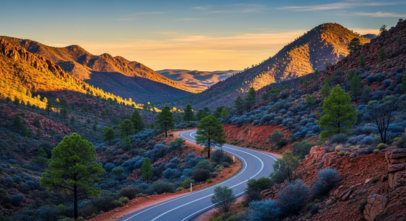
Strzelecki Track
460 km
distance
12h
Contour time
7.2
avg score
Unsealed
surface
Scenery
South Australia
The Strzelecki Regional Reserve covers the desert country between Lyndhurst and Innamincka. The reserve has no...
Road quality
7.2 RQS
Strong. Above average on most quality signals.
Accessibility
Fully sealed
Best in 4WD. Peak season: April-October.
7-day forecast
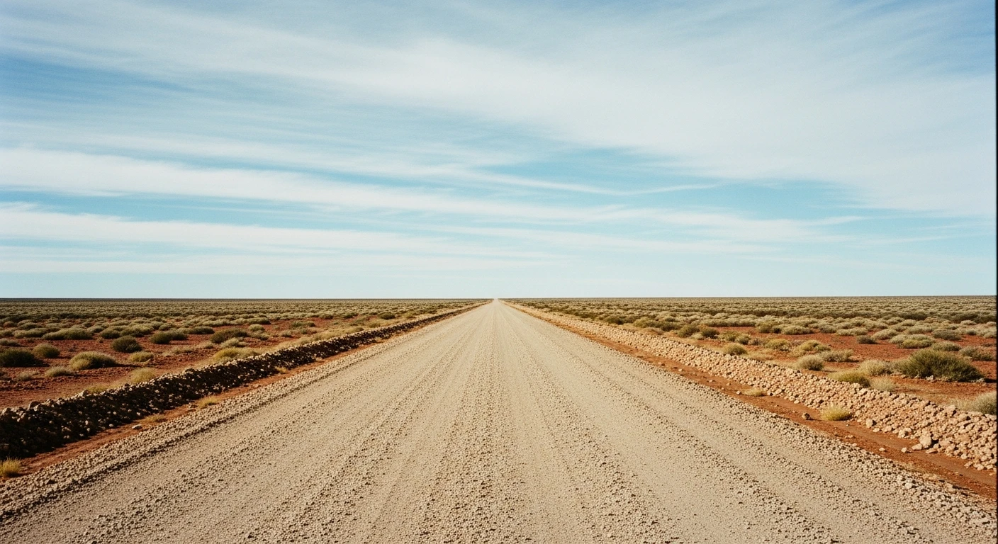
The Strzelecki is not technically difficult - it is a straightforward unsealed track across stone plains and clay. The challenge is remoteness and distance: 460km with fuel only at Lyndhurst and Innamincka, and no mobile coverage for most of the route.
Scored 7.2/10 by Contour's road quality algorithm across curviness, surface, elevation and traffic. Best suited for 4wd drivers.
The road
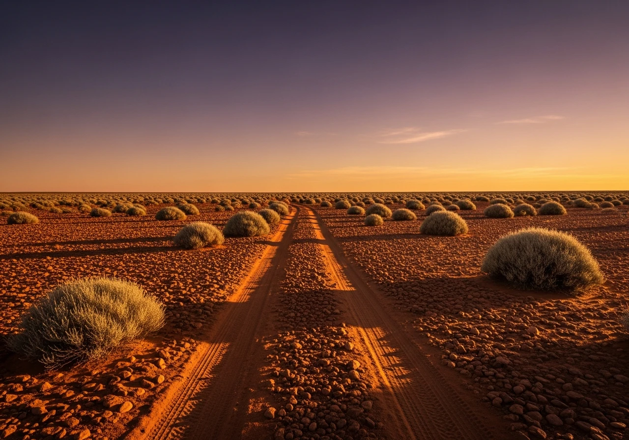
The Strzelecki Track connects the Flinders Ranges at its southern end to the remote Cooper Creek country at Innamincka. It was the outback's lifeline road - the route used by drovers, stockmen and supply wagons for the stations along the Strzelecki and Cooper Creek systems. The track is named for the Polish explorer Paul Strzelecki who traversed the region in 1845. The surface varies from smooth compacted gibber (flat stone plain) to soft clay after rain to corrugated bulldust on the most-used sections. The stone plains stretch in every direction without variation - brown, flat, and silent. Innamincka at the northern end is one of the most historically significant sites in Australian exploration. Burke and Wills died near here in 1861, starved after their disastrous return from the Gulf of Carpentaria. Cooper Creek - a wide, tree-lined watercourse that flows intermittently from Queensland into the desert - is the most surprising landscape on the route. The waterhole at Innamincka is permanent. The town has a pub, a general store, fuel and not much else.
The Strzelecki Track connects the Flinders Ranges at its southern end to the remote Cooper Creek country at Innamincka.
Why this road
The region
The Strzelecki Regional Reserve covers the desert country between Lyndhurst and Innamincka. The reserve has no facilities and no services. The track passes through the edge of Strzelecki Creek country where explorers and drovers left their names on waterholes and camps. The Dig Tree - the coolibah tree where Burke and Wills left a message for their return party - is 180km east of Innamincka near Nappa Merrie station.

Before you go
Fuel at Lyndhurst and Innamincka only - carry capacity for 500km. Water from Lyndhurst. No Telstra mobile coverage throughout. Satellite communicator strongly recommended. The track is accessible to most high-clearance 4WDs in the dry season but deteriorates after rain. Clay sections become impassable when wet. Allow 8-10 hours for the full crossing without stops.
See a routing error?
Flag itWorth stopping for
Innamincka Hotel
Remote outback pub with accommodation and cold beer. The place to debrief after the track.
Dig Tree (Nappa Merrie)
The famous coolibah tree where the Burke and Wills return party left supplies - 180km east of Innamincka via an unsealed station track.
Route
Start
Lyndhurst
End
Innamincka
Gallery

More roads like this