Reynolds River Track
19.5 km
distance
2h 20m
Contour time
2.4
avg score
Unsealed
surface
Scenery
Northern Territory
The Reynolds River flows through the Litchfield district north of the Daly River drainage, eventually reaching Fog Bay...
Road quality
2.4 RQS
Every segment scored on 40+ data signals.
Accessibility
Fully sealed
Best in 4WD. Peak season: Dry season (May-Oct).
7-day forecast
Long-distance tropical track with creek crossings. Moderate difficulty in dry conditions - the main risk is the isolation and seasonal creek levels. Good track for a full-day dry season expedition from Darwin.
Scored 2.4/10 by Contour's road quality algorithm across curviness, surface, elevation and traffic. Best suited for 4wd drivers.
The road
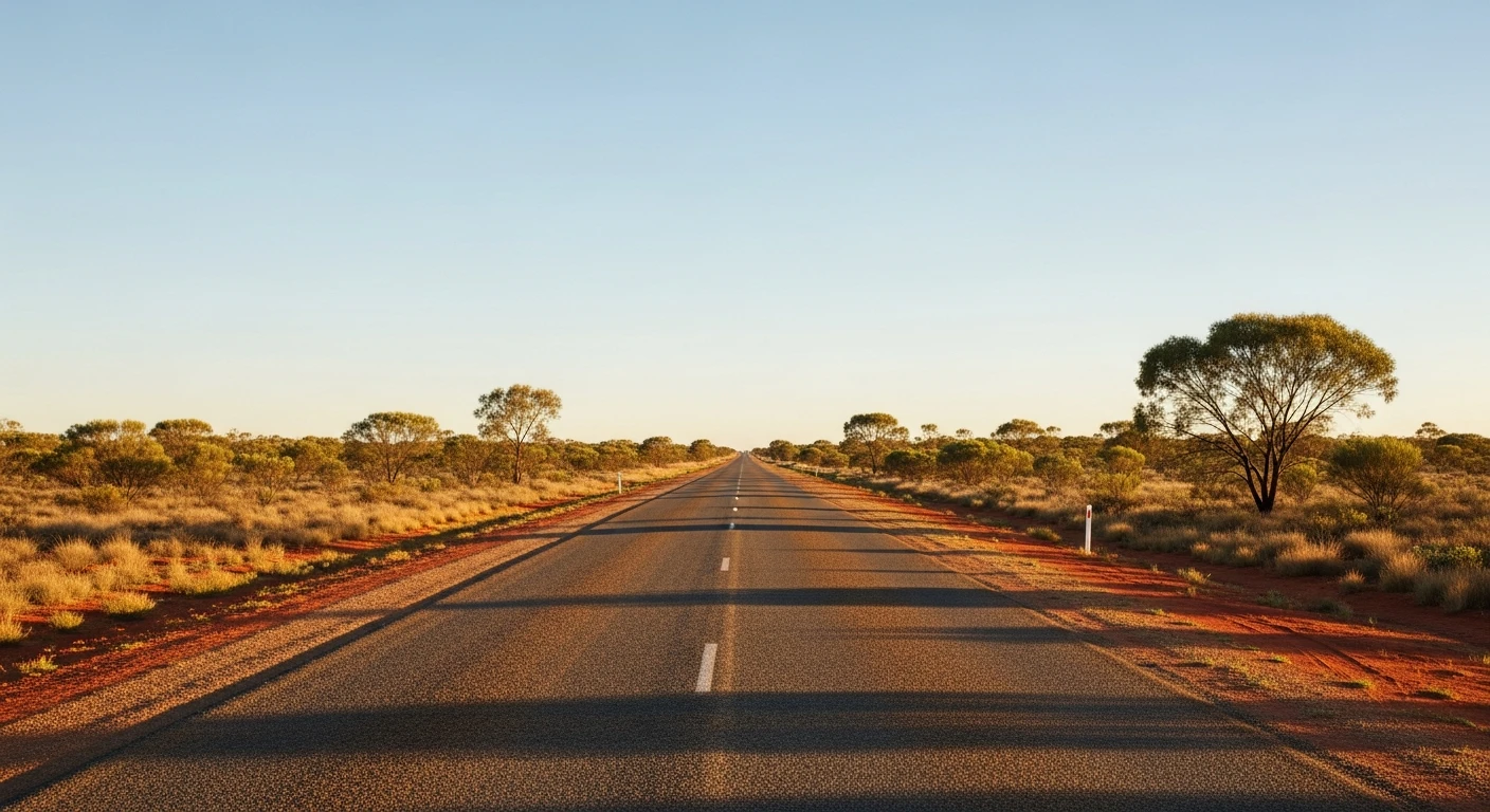
Reynolds River Track is a 19.5-kilometre dry-season expedition through the Litchfield district south of Darwin. The track follows the Reynolds River drainage through tropical woodland with creek crossings that require assessment before committing. The surrounding landscape is classic Darwin hinterland - woollybutt and stringybark over laterite with seasonal wetlands that hold extraordinary bird life in the dry season. Magpie geese, jabiru and brolga are common on the floodplains. The distance from Darwin is manageable as a day trip but the track is long enough to feel like a proper expedition. No phone coverage for most of the route. The Daly River an hour south is one of the NT's great barramundi destinations and combines well with this track for a two-day Top End 4WD trip.
Reynolds River Track is a 19.5-kilometre dry-season expedition through the Litchfield district south of Darwin.
Why this road

The region
The Reynolds River flows through the Litchfield district north of the Daly River drainage, eventually reaching Fog Bay and the Timor Sea. The surrounding landscape is classic Darwin hinterland - Darwin woollybutt and stringybark woodland over laterite and sandy loam with seasonal wetlands. The track passes through a mixture of national park land and Darwin Ambon-Penfoei open pastoral country.

Before you go
Fuel in Darwin or Batchelor. This is a significant dry-season day trip - depart early and allow a full day. Creek crossings require assessment before committing. No phone coverage along most of the route. Satellite comms recommended. Do not attempt in wet season.
See a routing error?
Flag itWorth stopping for
Litchfield National Park
The adjacent park to the east has Wangi, Florence and Tolmer falls - all accessible on a combined day trip with this track.
Daly River fishing
One of the NT's great barramundi destinations, an hour south of the Reynolds River country - guided and self-drive fishing options.
Route
Start
Darwin rural district
End
Reynolds River upper valley
Gallery

More roads like this