Old Mallapunyah Road
5.5 km
distance
55 min
Contour time
4.2
difficulty
Unsealed
surface
Scenery
Northern Territory
Mallapunyah is a remote cattle station in the Gulf Country north of the Barkly Tablelands. The McArthur River drains...
Road quality
Grade 4.23
Every segment scored on 40+ data signals.
Accessibility
Fully sealed
Best in 4WD. Peak season: Dry season (May-Oct).
7-day forecast
Gulf Country track with corrugated surface and creek crossings. Technical difficulty is moderate but distance from services and tropical conditions make proper preparation essential. Dry season only.
Recommended gear: Recovery boards, Snatch strap, Extra water (20L+), Satellite comms.
The road
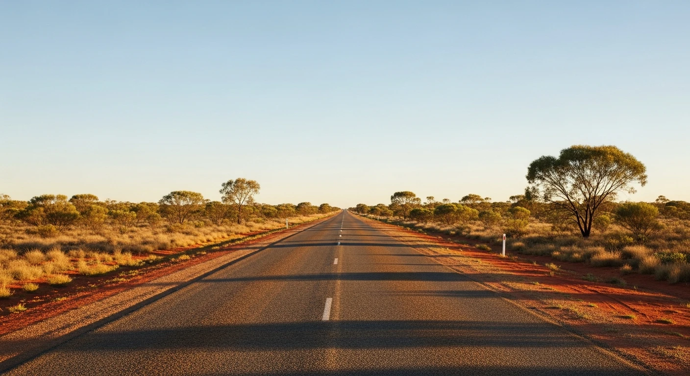
Old Mallapunyah Road is a remote Gulf Country station track near Borroloola - one of the most isolated regional centres in Australia. The 5.5-kilometre track crosses corrugated savanna terrain in the McArthur River catchment, the kind of country that has barely changed since the pastoral era. The landscape is classic Top End savanna - sparse eucalypt woodland over red sandy soil with seasonal wetlands. Borroloola sits at the intersection of the Savannah Way and the Gulf road corridor. The McArthur River below is prime barramundi territory and local guides run fishing trips from town. The track is dry season only - the wet season transforms this country into impassable floodplain.
Old Mallapunyah Road is a remote Gulf Country station track near Borroloola - one of the most isolated regional centres in Australia.
Why this road

The region
Mallapunyah is a remote cattle station in the Gulf Country north of the Barkly Tablelands. The McArthur River drains this country into the Gulf of Carpentaria and the landscape is classic savanna - sparse eucalypt woodland over red sandy soil with seasonal wetlands. Borroloola, the closest town, sits at the intersection of the Savannah Way and the Gulf via road. It is one of the most isolated regional centres in Australia.

Before you go
Fuel in Borroloola. Wet season (November through April) makes this track impassable. Dry season only - May through October. Satellite comms essential. Carry minimum 20L extra water. Inform someone of your route. The closest mechanical help is Borroloola or Katherine.
See a routing error?
Flag itWorth stopping for
Borroloola township
One of the most remote towns on the Savannah Way - the pub and visitor centre are the main touchpoints for travellers crossing the Gulf.
McArthur River barramundi fishing
The McArthur and its tributaries are prime barramundi fishing territory - local guides run trips out of Borroloola.
Route
Start
Borroloola region
End
Mallapunyah station area
Gallery

More roads like this