Mt Maiyo Access Road
11 km
distance
1h 20m
Contour time
3.5
difficulty
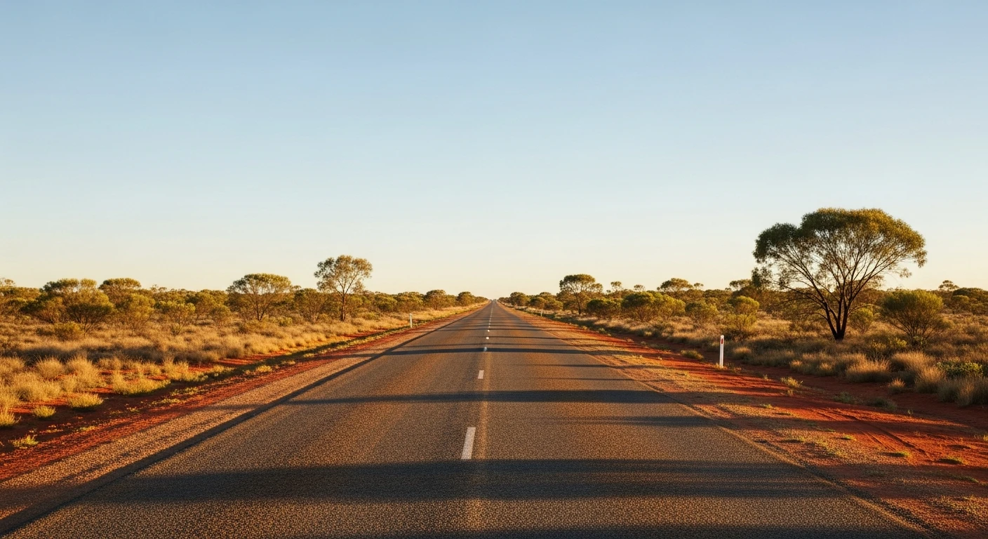
Unsealed
surface
Scenery
Northern Territory
Kalkarindji (formerly Wave Hill) sits in the Victoria River district on Gurindji country. This area has deep...
Road quality
Grade 3.5
Every segment scored on 40+ data signals.
Accessibility
Fully sealed
Best in 4WD. Peak season: Dry season (May-Oct).
7-day forecast
Remote station access track in a region with very limited support infrastructure. Moderate difficulty but elevated recovery risk due to distance from any services. Kalkarindji is one of the most remote regional centres in Australia.
Recommended gear: Recovery boards, Snatch strap, Extra water (20L+), Satellite comms.
The road
Mt Maiyo Access Road is a remote station track in the Victoria River hinterland toward the Kalkarindji (formerly Wave Hill) district - one of the most historically significant regions in the Northern Territory. Kalkarindji is where the 1966 Gurindji Walk-Off began - 200 Aboriginal stockmen and their families walking off the Vesteys cattle empire in a campaign for land rights that changed Australian law. The track crosses corrugated red soil through tropical escarpment country. The remoteness is extreme - Kalkarindji is 558 km south of Katherine on the Buchanan Highway and the track itself is minimally maintained. All remote travel requirements apply. The sandstone escarpment features around Mount Maiyo are typical of the broken range country between the Victoria River and the WA border.
Why this road

The region
Kalkarindji (formerly Wave Hill) sits in the Victoria River district on Gurindji country. This area has deep significance in Australian history - the 1966 Wave Hill Walk-Off led by Vincent Lingiari and the Gurindji people was a pivotal moment in the campaign for Aboriginal land rights, resulting in the return of traditional country in 1975. Mount Maiyo itself is a sandstone escarpment feature in the broken range country between Kalkarindji and the Western Australian border.

History
Kalkarindji (Wave Hill) is the site of the 1966 Gurindji Wave Hill Walk-Off - one of the defining moments in the Aboriginal land rights movement. The walk-off by 200 Aboriginal stockmen and their families against the Vesteys cattle empire led to an eight-year campaign and the return of Gurindji country in 1975. Gough Whitlam poured soil into Vincent Lingiari's hand in a ceremony at Daguragu that became one of the most powerful images in Australian political history.
Before you go
Fuel in Kalkarindji. The town is 558km south of Katherine on the Buchanan Highway. Dry season only. All remote travel requirements apply: extra water, satellite comms, two-vehicle convoy if possible. The road is used primarily by station workers and is minimally maintained.
See a routing error?
Flag itWorth stopping for
Kalkarindji Wave Hill Walk-Off memorial
The interpretive site in Kalkarindji township commemorates the 1966 Walk-Off and the land rights campaign - one of the most significant historical sites in the NT.
Buchanan Highway
The remote highway linking Katherine to Halls Creek passes through some of the most spectacular and least-travelled outback in Australia.
Route
Start
Kalkarindji region
End
Mt Maiyo access end
Gallery

More roads like this