Mereenie Loop
330 km
distance
8h
Contour time
4.3
avg score
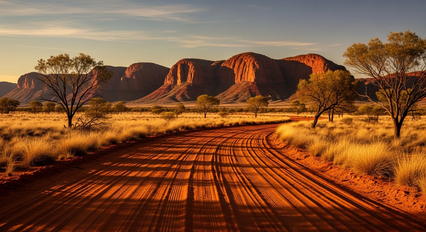
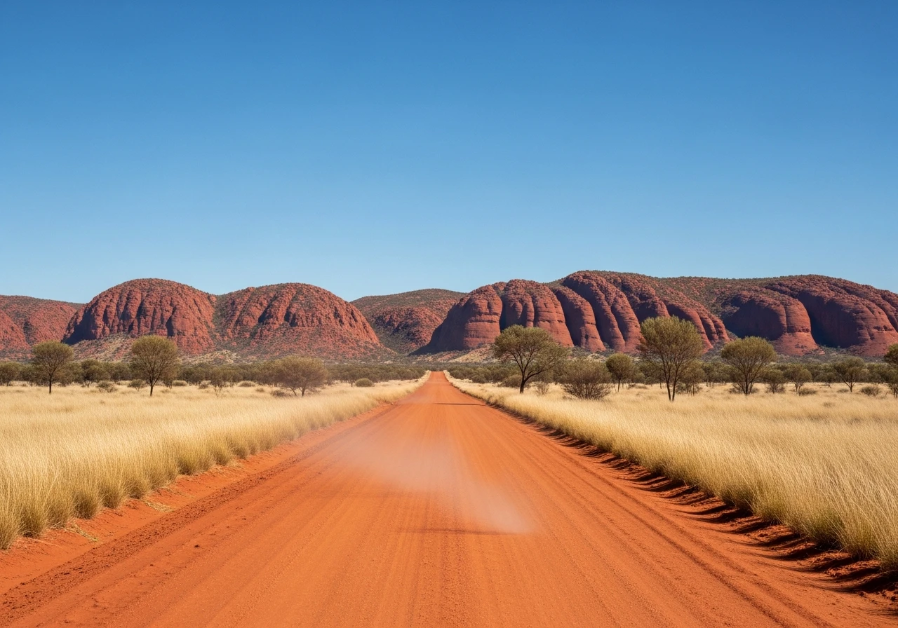
Unsealed
surface
Scenery
Northern Territory
The West MacDonnell Ranges and Watarrka National Park (Kings Canyon) are both on Arrernte and Luritja country. Permits...
Road quality
4.3 RQS
Every segment scored on 40+ data signals.
Accessibility
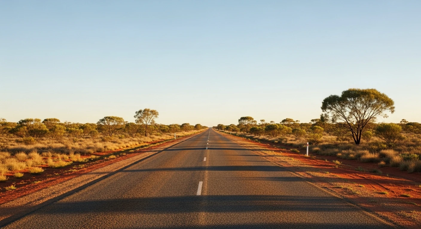
Fully sealed
Best in 4WD. Peak season: April-October.
7-day forecast
A long unsealed road through remote desert country. The track itself is Grade 2-3 but the distance, heat and limited services make preparation critical. Not technically difficult but the isolation and summer heat demand serious respect.
Scored 4.3/10 by Contour's road quality algorithm across curviness, surface, elevation and traffic. Best suited for 4wd drivers.
The road
The Mereenie Loop is the scenic back route from Alice Springs to Kings Canyon, bypassing the sealed tourist highway and going instead through the West MacDonnell Ranges and the Finke River country on an unsealed red dirt track. The drive passes through Tylers Pass in the West MacDonnells - a rocky gap in the range with views north to the spinifex plains. Glen Helen Gorge and Ormiston Gorge are accessible from the sealed highway section before the loop begins. The unsealed section climbs through mulga woodland and drops to dry river plains, the road surface varying from smooth compacted red dirt to corrugated bulldust. The Mereenie Loop crosses Aboriginal land and a permit is required - obtained at the visitor centres in Alice Springs or Glen Helen. Kings Canyon at the other end is one of Australia's most dramatic sandstone formations: a 270-metre-deep canyon with the Garden of Eden - a natural sandstone amphitheatre with permanent water - in its upper sections.
Why this road
The region
The West MacDonnell Ranges and Watarrka National Park (Kings Canyon) are both on Arrernte and Luritja country. Permits for the Mereenie Loop can be purchased at Glen Helen Homestead, Alice Springs Desert Park or Hermannsburg Community Store. The loop connects two of the most popular attractions in the Red Centre - the Macdonnell gorges and Kings Canyon.

Before you go
Mereenie permit required - purchase before departure. Fuel at Alice Springs, Glen Helen Homestead (limited) and Kings Canyon Resort. Carry 20+ litres of water. Summer (November to March) temperatures exceed 45C and the track is not recommended. The road can be very corrugated in the middle of the dry season after heavy traffic. No mobile coverage throughout.
See a routing error?
Flag itWorth stopping for
Ormiston Gorge
The most impressive gorge in the West MacDonnells - deep, red-walled, with a permanent waterhole. A short walk from the car park.
Hermannsburg Historic Precinct
The Lutheran mission founded in 1877, birthplace of Albert Namatjira. Worth a stop for the historical context.
Route
Start
Alice Springs
End
Kings Canyon Resort
Gallery

More roads like this