Launceston to Upper Blessington
48 km
distance
1h 20m
Contour time
8.8
avg score
Sealed
surface
420m
max elevation
+310m
total climb
Scenery
420m elevation
The South Esk River catchment is Tasmania's largest river system, draining much of the island's northeast interior....
Road quality
8.8 RQS
Exceptional. Consistently high curviness, surface, and low traffic.
Accessibility
Fully sealed
Best in Sports car. Peak season: Spring / Autumn.
7-day forecast
Sports cars and motorbikes suit this road best - it's smooth, sealed, and just winding enough to stay interesting. EVs are fine for the run out, but note that public charging is limited between Launceston and Upper Blessington. The 4WD loop continues on gravel past the sealed endpoint for those who want to push further.
Scored 8.8/10 by Contour's road quality algorithm across curviness, surface, elevation and traffic. Best suited for sports car drivers.
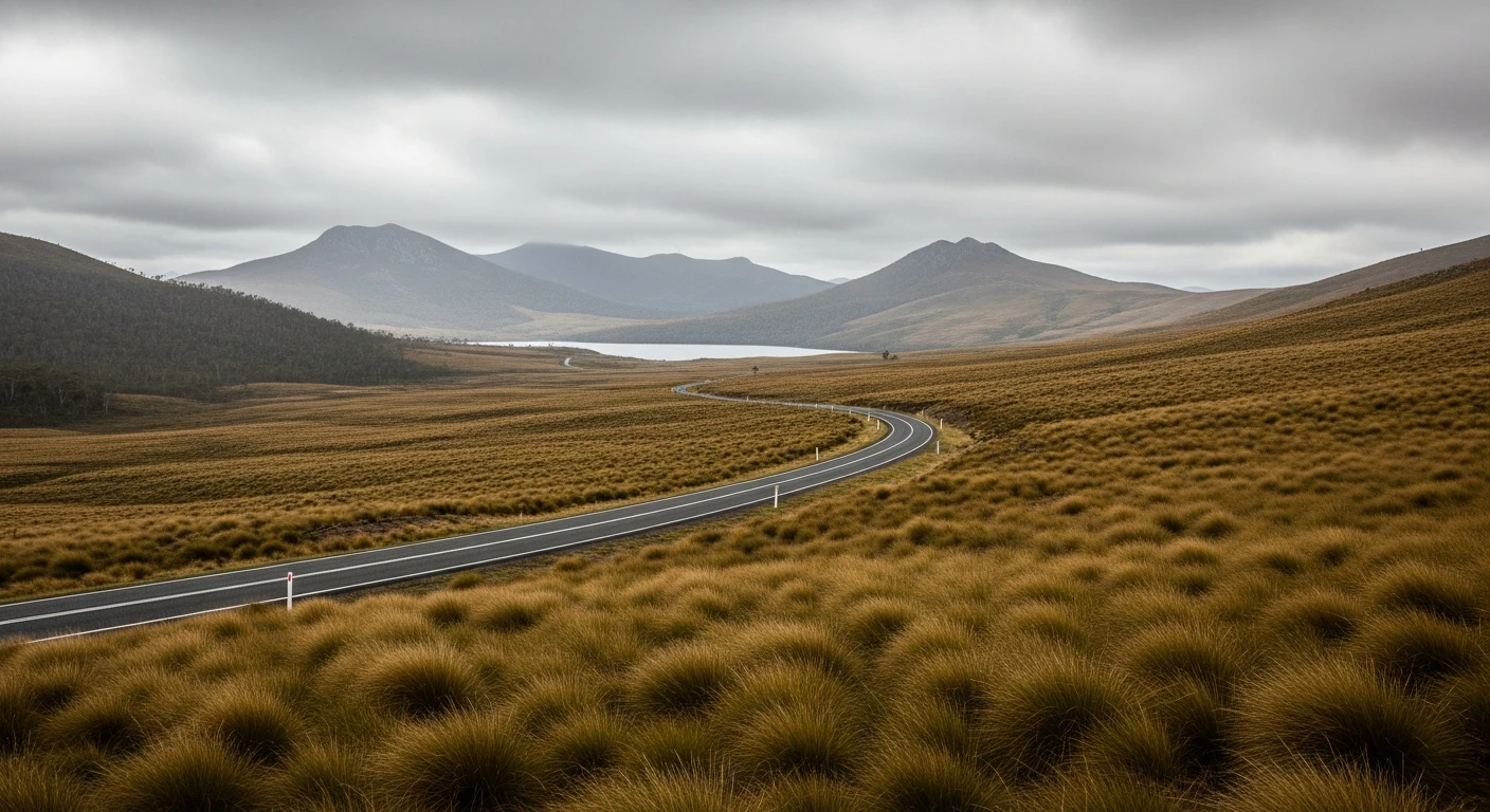
The road
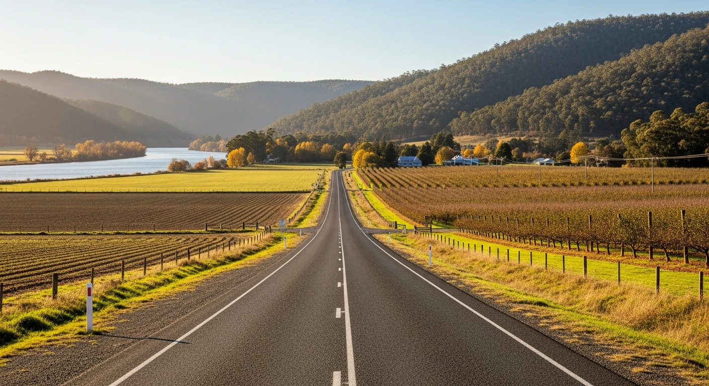
The South Esk valley east of Launceston is one of those roads that earns its reputation quietly. It follows the South Esk River through a wide pastoral valley, climbing gently through Blessington and into the hamlet of Upper Blessington. The road is in good condition, the corners arrive at a sensible pace, and the river flats open up views that stretch a long way in every direction. The sealed road ends at Upper Blessington. From here, it transitions to gravel continuing southeast over Rose's Tier into the Ben Lomond foothills - fine for 4WDs and adventurous riders, but a natural turnaround for sealed-road drivers. This route treats Upper Blessington as the endpoint and returns to Launceston the same way. The return leg often feels quicker once you know the corners.
The South Esk valley east of Launceston is one of those roads that earns its reputation quietly.
Why this road
The region
The South Esk River catchment is Tasmania's largest river system, draining much of the island's northeast interior. Blessington and Upper Blessington are quiet farming communities that see very little through-traffic. The Ben Lomond plateau - home to Tasmania's main ski field - rises to the south. On a clear day the upper slopes are visible from the road.

History
The South Esk valley was settled by free settlers and former convicts from the 1820s. Blessington was named after an Irish village by early pastoralists who found the open valley country familiar. Sheep and cattle farming still dominate the flats today.
Before you go
Fuel in Launceston before you leave - there are no servo options along this route. Head east on Relbia Road, then White Hills Road, then follow Blessington Road (C401) all the way to Upper Blessington. The sealed road ends at Upper Blessington - the continuation over Rose's Tier toward Ben Lomond is gravel, not suitable for low-clearance vehicles. Road surface is good but expect some debris after heavy rain. No mobile coverage for much of the valley. Return drive from Upper Blessington on the same road.
See a routing error?
Flag itWorth stopping for
Ben Lomond National Park
Access road from the Midland Highway, about 30 min from Launceston. Sealed to the national park boundary, gravel to the plateau.
Cataract Gorge
Launceston's signature attraction - worth an hour before or after the drive.
Blessington Store
Basic provisions if it's open. Don't rely on it for fuel.
Route
Start
Launceston
End
Upper Blessington
More roads like this