Larapinta Trail Access
12 km
distance
1h 25m
Contour time
3.5
difficulty
Unsealed
surface
Scenery
Northern Territory
The West MacDonnell Ranges form a corrugated ridge of ancient quartzite and sandstone stretching 160km west of Alice...
Road quality
Grade 3.5
Every segment scored on 40+ data signals.
Accessibility
Fully sealed
Best in 4WD. Peak season: Winter-Spring (Apr-Sep).
7-day forecast
Access track to remote sections of one of Australia's great long-distance walks. The track itself is moderately technical with a high recovery risk due to remoteness. Well-suited to a prepared stock 4WD in dry season.
Recommended gear: Recovery boards, Snatch strap, Extra water (20L+), Satellite comms.
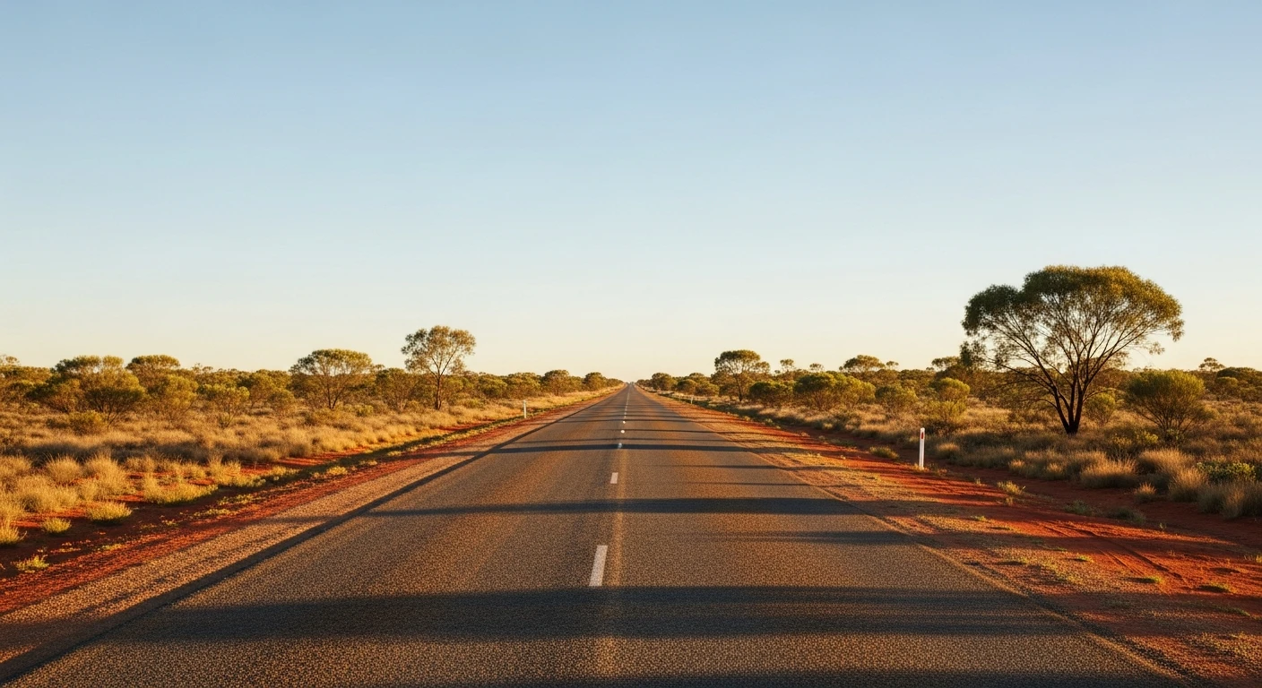
The road
The Larapinta Trail Access road is the 4WD link to the western sections of one of Australia's great long-distance walks. The 12-kilometre track serves hikers accessing intermediate sections of the 223-kilometre Larapinta Trail through the West MacDonnell Ranges - quartzite and sandstone ridges between 700 and 1,500 million years old. The track itself is moderately technical with a high recovery risk due to remoteness. The MacDonnell Ranges are Arrernte country and the landscape holds significant sacred sites. Ormiston Gorge with its permanent waterhole and Glen Helen Gorge where the Finke River cuts through the ranges are both accessible from the western end of the Macs. The ancient geology visible from this track is some of the oldest exposed rock on Earth.
The Larapinta Trail Access road is the 4WD link to the western sections of one of Australia's great long-distance walks.
Why this road

The region
The West MacDonnell Ranges form a corrugated ridge of ancient quartzite and sandstone stretching 160km west of Alice Springs. The ranges are between 700 and 1,500 million years old - some of the most ancient exposed rock on Earth. The Larapinta Trail is a 223km walking track that follows the range from Alice Springs to Mount Sonder. The vehicle access road serves hikers at intermediate trail sections and station property boundaries.

History
The MacDonnell Ranges are Arrernte country - the traditional custodians of the Alice Springs region. The ranges are deeply embedded in Western Arrernte songlines and the landscape holds significant sacred sites. The Larapinta walking trail was developed with traditional owner involvement from inception.
Before you go
Fuel in Alice Springs. Extremely hot in summer - dry season (April through September) strongly recommended. Extra water is essential as no facilities exist on the track. The walking trail sections are separate from vehicle access but hikers may be encountered near vehicle drop-off points.
See a routing error?
Flag itWorth stopping for
Ormiston Gorge
One of the West Macs' most impressive gorges - the permanent waterhole at the gorge bottom is a Central Australian icon, 130km west of Alice.
Glen Helen Gorge and Resort
A dramatic red gorge where the Finke River cuts through the ranges - the homestead property has accommodation and fuel at the western end of the Macs.
Route
Start
West MacDonnell NP
End
Larapinta Trail western access
Gallery

More roads like this