Forrest to Apollo Bay
43 km
distance
22 min
Contour time
9.0
avg score
Sealed
surface
Scenery
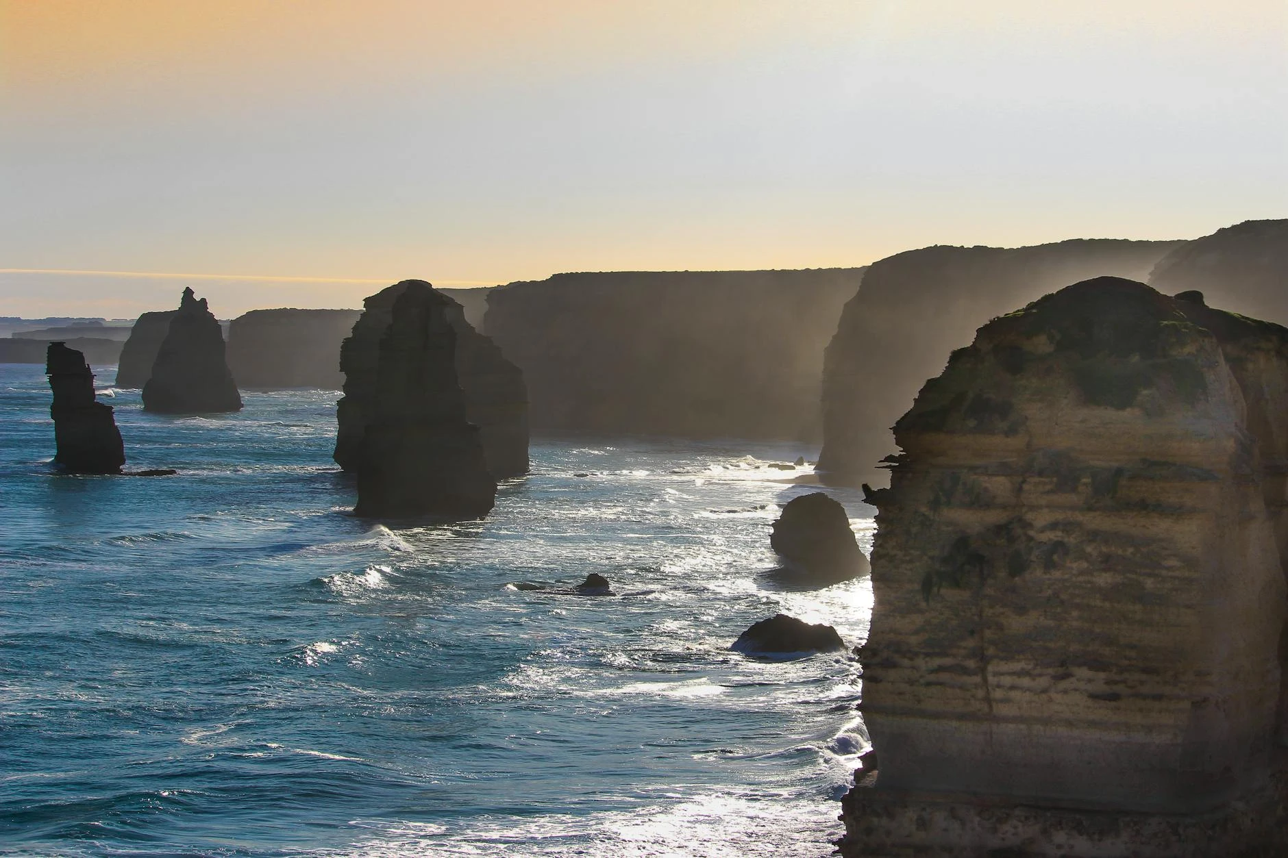
Victoria
The Otway Ranges rise steeply from the Bass Strait coast between Lorne and Apollo Bay, forming a compact plateau at...
Road quality
9.0 RQS
Exceptional. Consistently high curviness, surface, and low traffic.
Accessibility
Fully sealed
Best in Sports car. Peak season: Year-round.
7-day forecast
A continuous sealed descent from 400m plateau to sea level with tight consistent corners throughout. Sports car and motorbike both work well here. Surface is well-maintained. Traffic is lightest early morning on weekdays - summer weekends bring GOR holiday traffic through Apollo Bay.
Scored 9.0/10 by Contour's road quality algorithm across curviness, surface, elevation and traffic. Best suited for sports car drivers.
The road
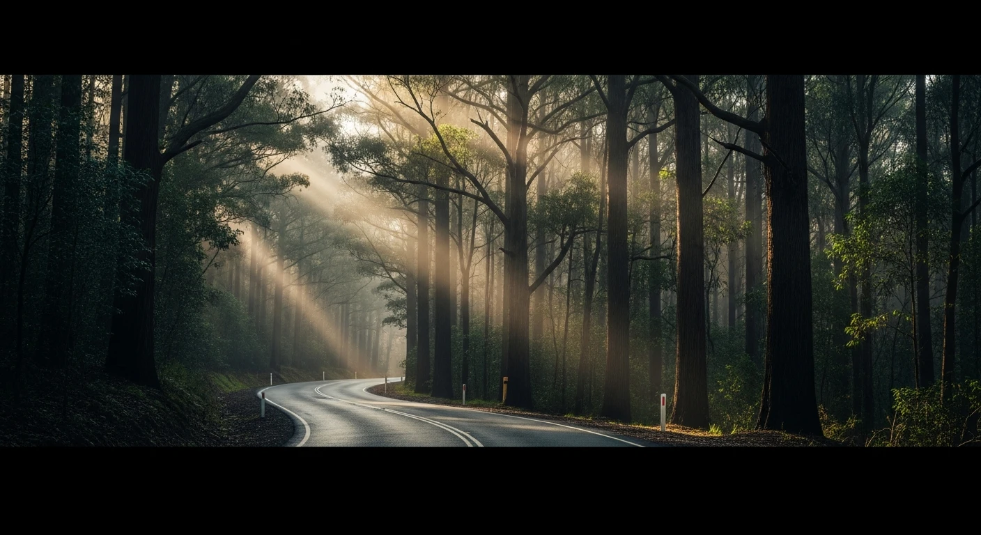
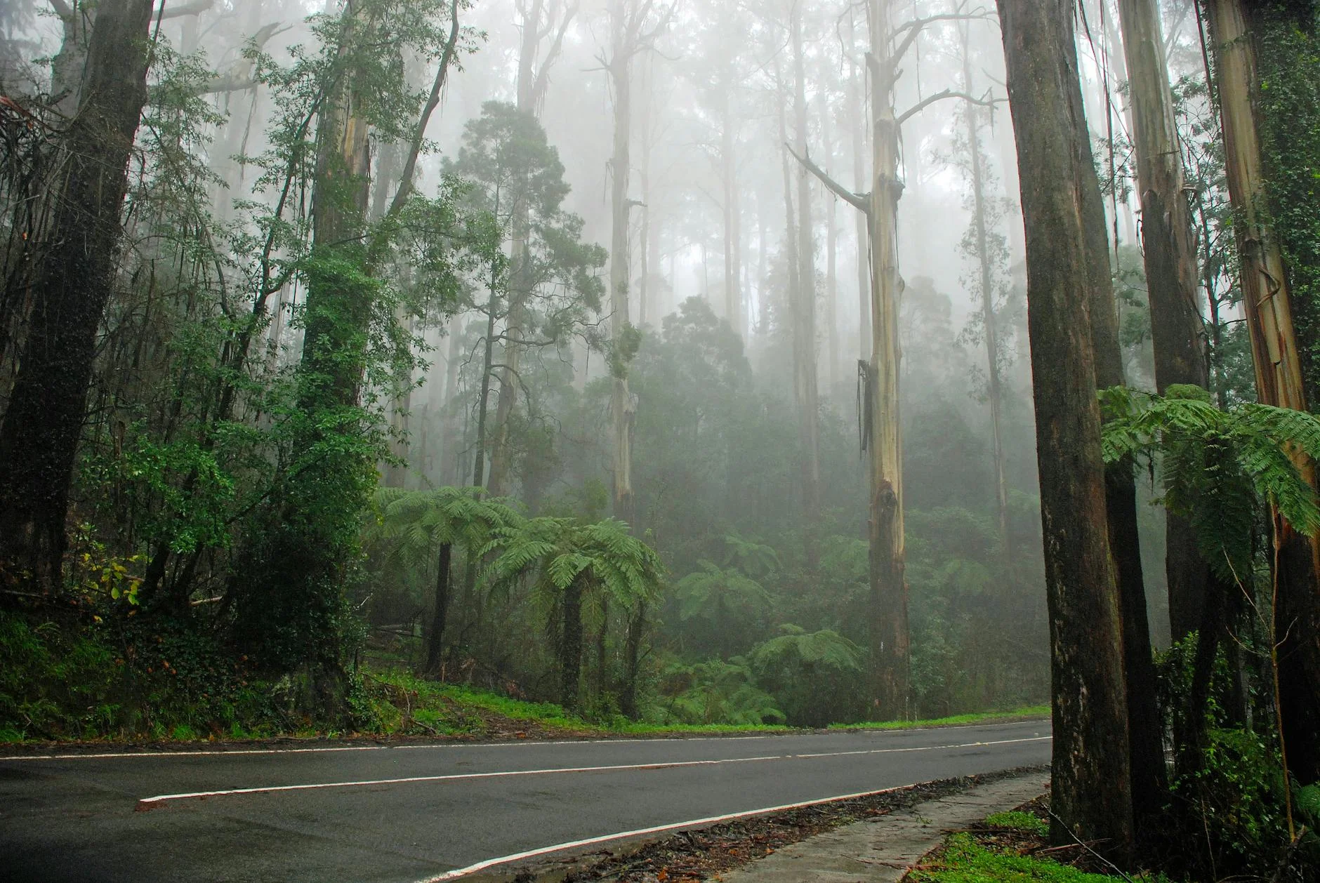
The Forrest - Apollo Bay Road is the most direct descent from the Otway plateau to the coast, dropping from the timber town of Forrest at 400 metres to the Apollo Bay harbour in 17.7 kilometres. The road starts on the plateau with open dairy and fern country before the descent begins in earnest through tall mountain ash. The middle section closes the canopy overhead - myrtle beech on the sheltered gully faces, mountain ash on the exposed slopes. The corners are tight and constant through this section with little room to relax between bends. As the road drops below 200 metres the forest lightens and the first glimpses of Apollo Bay and the bay appear through the trees. The arrival at Apollo Bay after sustained concentration through the forest is one of the better moment-of-arrival experiences on any road in Victoria. RQS 8.96 across 37 matched segments - among the highest-scoring descents in the state.
The Forrest - Apollo Bay Road is the most direct descent from the Otway plateau to the coast, dropping from the timber town of Forrest at 400 metres to the Apollo Bay harbour in 17.7 kilometres.
Why this road
The region
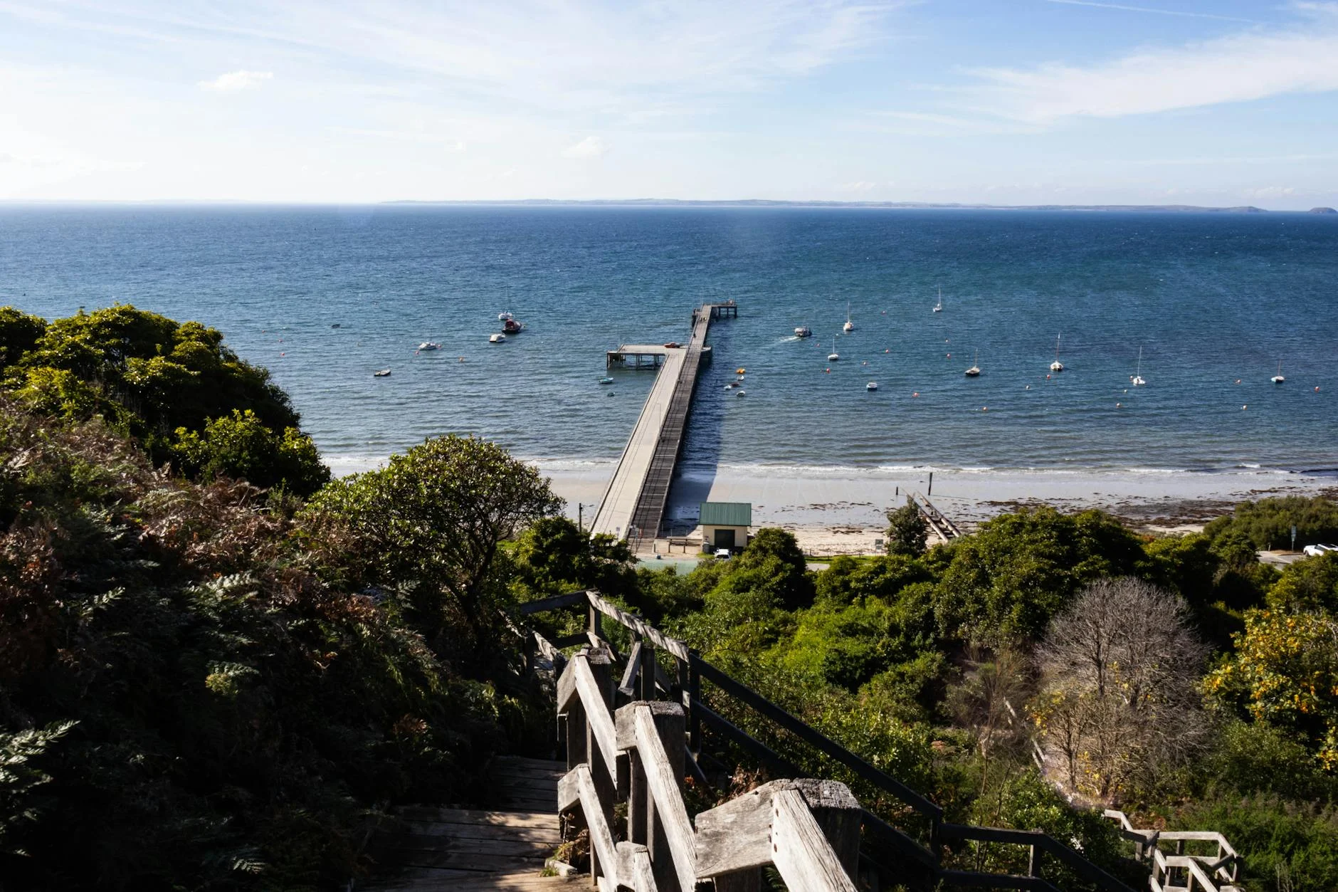
The Otway Ranges rise steeply from the Bass Strait coast between Lorne and Apollo Bay, forming a compact plateau at 350-500 metres. Forrest is a small timber town on the plateau, historically connected to the Otways' sawmilling era. The descent from Forrest to Apollo Bay drops the full height of the ranges in under 18km through some of the most impressive temperate rainforest in Victoria - tall mountain ash and myrtle beech with a closed canopy on the middle sections. Apollo Bay itself is a working fishing town at the foot of the ranges, with a harbour still used by shark and snapper boats.
Before you go
Fuel in Forrest or Apollo Bay. Sealed throughout, open year-round. No services on the descent itself - Apollo Bay has good cafes, bakeries and the seafood co-op on the harbour foreshore. Black ice is possible on the upper plateau section on cold winter nights. The GOR from Apollo Bay to Lavers Hill (in the opposite direction) makes a good return leg on a loop.
See a routing error?
Flag itWorth stopping for
Apollo Bay Fishermen's Co-op
Fresh shark, snapper and crab direct from the local fleet most mornings on the harbour foreshore - one of the better seafood stops on the GOR.
Cape Otway Lightstation
Australia's oldest surviving lighthouse, 30 minutes west along the GOR - koalas are reliably seen in the trees on the access road and the lighthouse grounds have good Bass Strait views.
Maits Rest rainforest walk
A short loop walk through ancient myrtle beech off the Otway road - accessible on the way up or down from Forrest, and one of the best accessible rainforest walks in Victoria.
Route
Start
Forrest
End
Apollo Bay
Gallery
More roads like this