Adelaide Hills
48 km
distance
1h
Contour time
7.8
avg score
Sealed
surface
700m
max elevation
+500m
total climb
Scenery
700m elevation
The Adelaide Hills are a low range immediately east of the Adelaide CBD, rising to about 700 metres at their highest...
Road quality
7.8 RQS
Strong. Above average on most quality signals.
Accessibility
Fully sealed
Best in Sports car. Peak season: Year-round.
7-day forecast
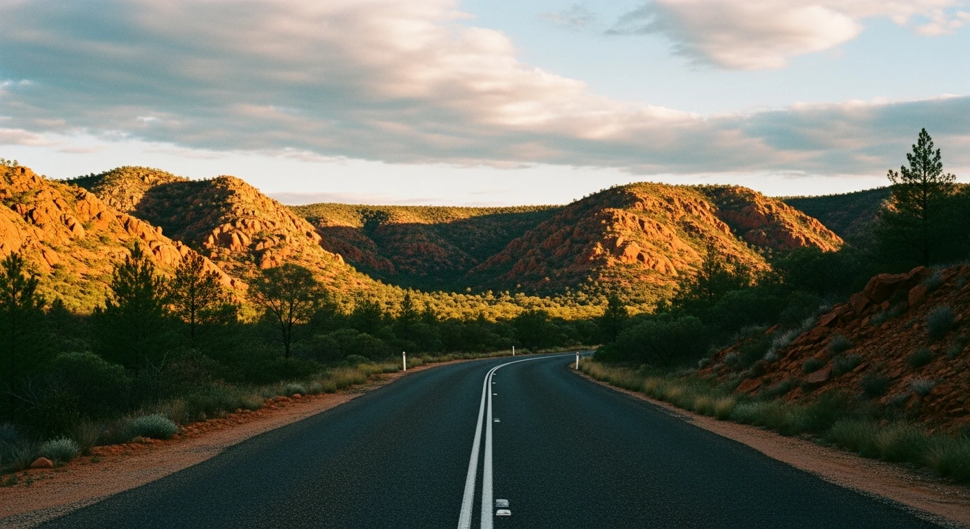
Tight technical roads with dramatic elevation change and consistent surface quality. The Targa Adelaide stages run on several of these roads because the corners are that good. A sports car loop with genuine variety - switchbacks, ridgeline sweepers, orchard lanes.
Scored 7.8/10 by Contour's road quality algorithm across curviness, surface, elevation and traffic. Best suited for sports car drivers.
The road
The Adelaide Hills sit directly behind the city and hold some of the best driving roads within 30 minutes of any Australian capital. This loop links the highlights into a single circuit that starts and finishes in the CBD. Head east from Adelaide on Gorge Road through Athelstone and into the hills. Gorge Road is used by car manufacturers for standardised vehicle testing - the long sweeping downhill section after Torrens Hill Road is perfectly cambered and reveals more about a car's handling than most test tracks. From Gorge Road turn south onto Corkscrew Road, which climbs through four dramatic switchbacks gaining 250 metres in 3.7 kilometres. The gradient averages nearly seven per cent and the switchbacks are tight enough to require genuine commitment. From Corkscrew the route follows Montacute Road along the ridgeline, through the wine and orchard country around Basket Range, before descending via Norton Summit Road back towards the city. Norton Summit Road is the classic Adelaide Hills descent - narrow, cambered, fast enough to be engaging and lined with the stone walls that mark the oldest vineyards in the hills. The whole loop covers about 65 kilometres and takes 80 minutes without stops. Every section has a different character.
The Adelaide Hills sit directly behind the city and hold some of the best driving roads within 30 minutes of any Australian capital.
Why this road
The region
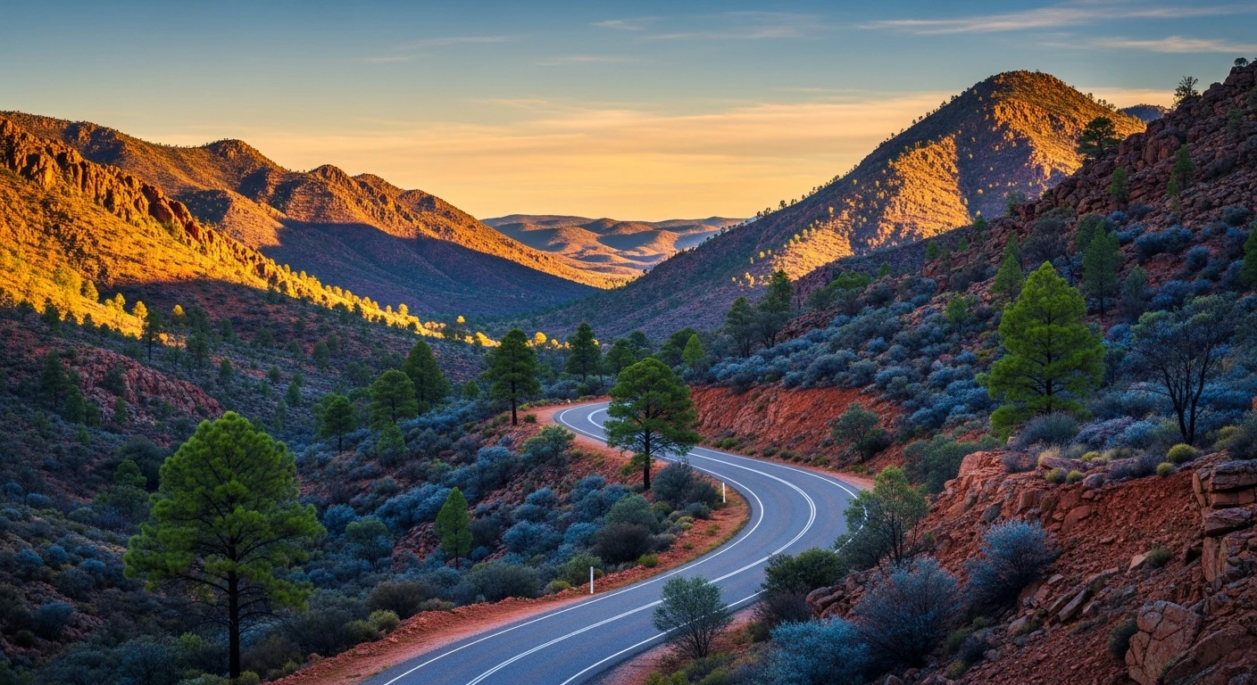
The Adelaide Hills are a low range immediately east of the Adelaide CBD, rising to about 700 metres at their highest point. The hills were settled early in South Australia's colonial history and the wine industry here predates almost every other region in the country. Hahndorf, Australia's oldest surviving German settlement, sits in the central hills. The mix of vineyards, orchards, eucalypt forest and heritage towns gives the driving a varied visual quality that changes every few kilometres. The Targa Adelaide rally has used roads in these hills for years, which has kept the surfaces well-maintained and the corners well-known among driving enthusiasts.
Before you go
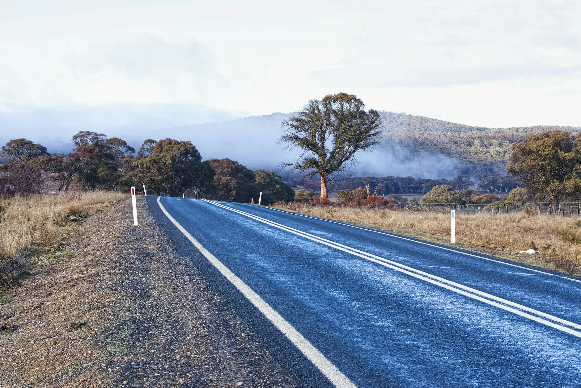
Fuel in Adelaide before starting. The hills towns of Norton Summit, Basket Range and Lobethal have limited services. The roads are fully sealed throughout. The loop works in either direction but clockwise (Gorge Road first, Norton Summit last) gives the better sequence of corners. Winter mornings bring frost to the upper sections above 500 metres. Weekend mornings are popular with cyclists on Gorge Road and Norton Summit Road - give them room. The Basket Range section has several cellar doors if you want to turn the drive into a longer outing.
See a routing error?
Flag itWorth stopping for
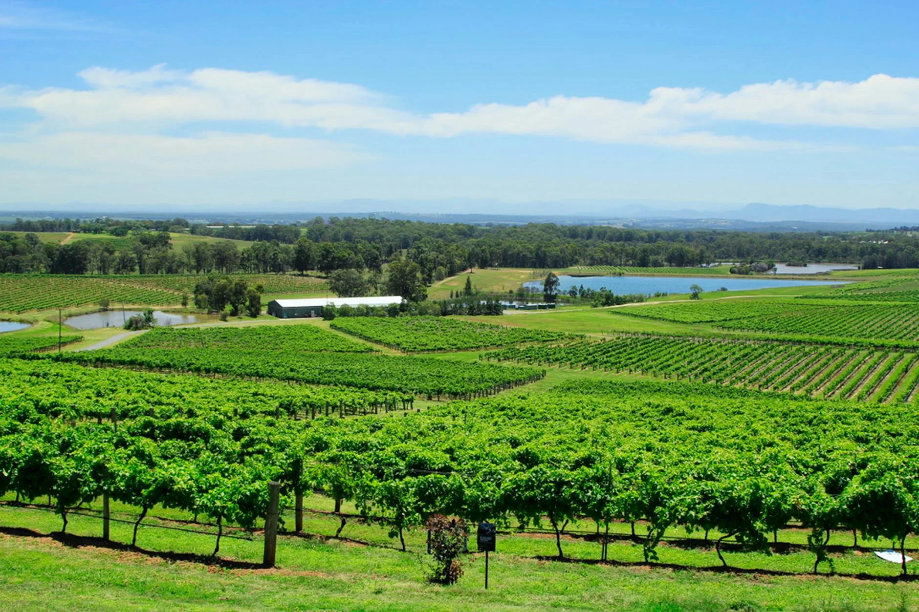
Basket Range wine region
A cluster of small-production wineries in the hills above Basket Range. Less commercial than the Barossa - worth a tasting stop if you are not in a hurry.
Hahndorf
Australia's oldest surviving German settlement, 20 minutes south of the loop. Good food, heritage buildings and a main street that rewards a short wander.
Mount Lofty Summit
The highest point in the Adelaide Hills at 710 metres, with views across the city to the coast. A short detour from the main loop.
Route
Start
Adelaide CBD
End
Stirling
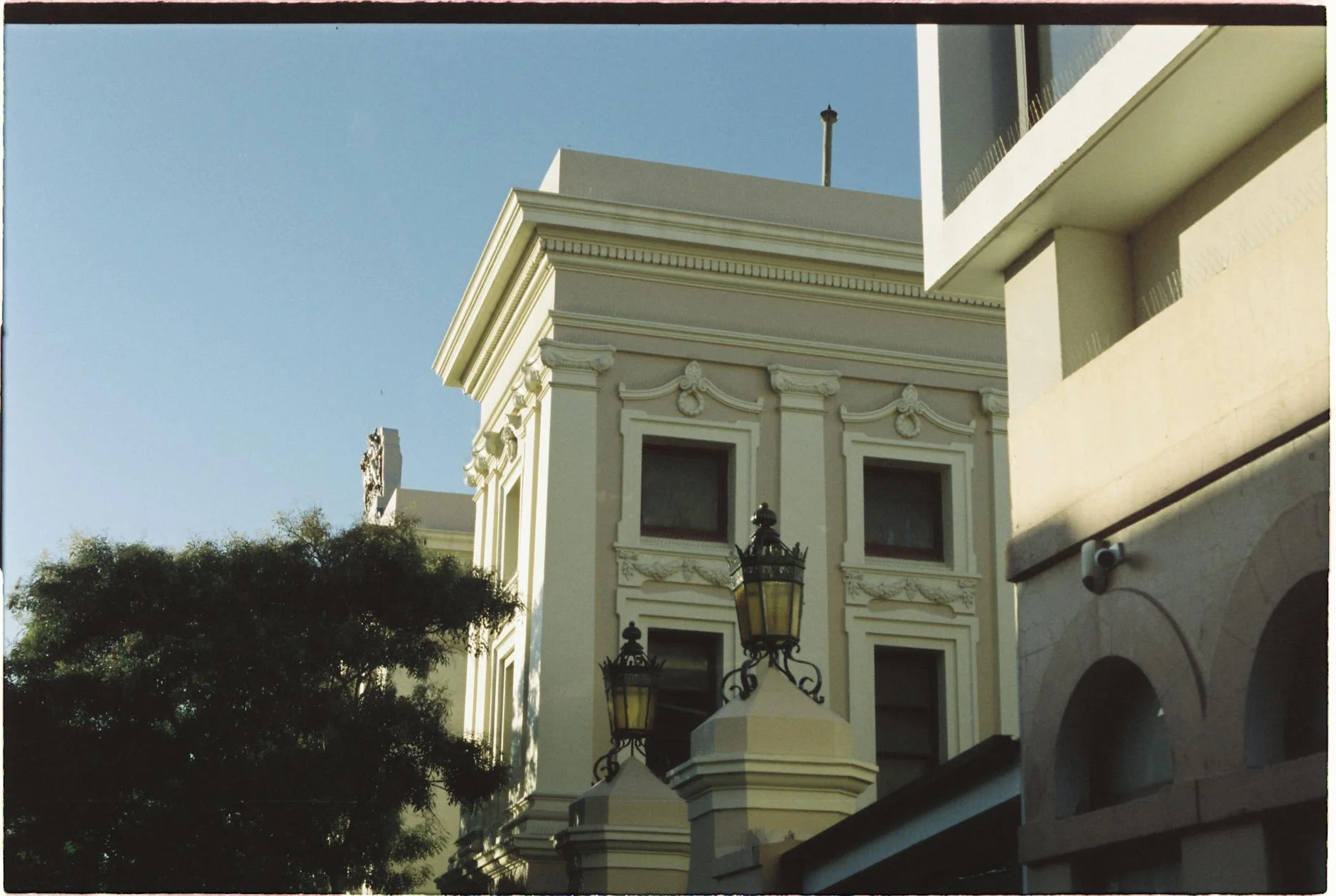
Gallery
More roads like this