Strathalbyn Road
36 km
distance
30 min
Contour time
9.3
avg score
Sealed
surface
Scenery
South Australia
Strathalbyn sits in the Angas River valley at the southern edge of the Adelaide Hills. Founded by Scottish settlers in...
Road quality
9.3 RQS
Exceptional. Consistently high curviness, surface, and low traffic.
Accessibility
Fully sealed
Best in Sports car. Peak season: Year-round.
7-day forecast
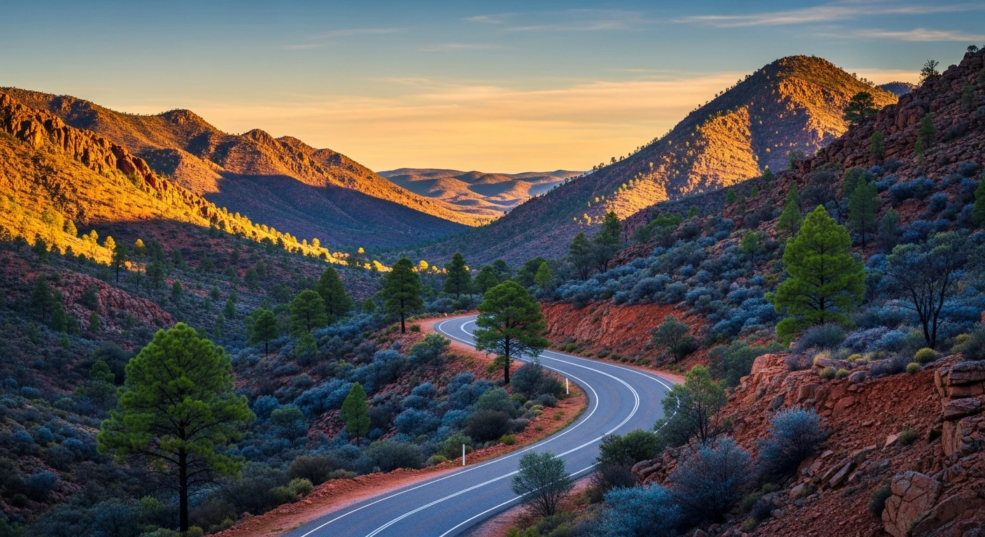
Good asphalt through the Fleurieu foothills with consistent corner loading. Not as tight as the main Hills routes but pleasantly rhythmic through the rolling country. Sports car or motorbike ideal. Very light truck traffic.
Scored 9.3/10 by Contour's road quality algorithm across curviness, surface, elevation and traffic. Best suited for sports car drivers.
The road
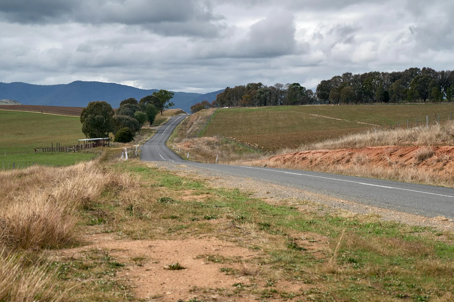
Strathalbyn Road is the back road option through the Adelaide Hills foothills, and it has a quality that the busier Hills routes cannot match: almost nobody uses it. The 36-kilometre sealed route between Strathalbyn and Charleston runs through rolling wooded country on the southern edge of the Hills, the road rising and falling through gentle ridges with consistent corner loading that settles into a rhythm after the first few kilometres. Strathalbyn itself is worth arriving early for. Founded by Scottish settlers in 1839, the town has one of the best intact collections of 19th-century colonial architecture in South Australia. The main street retains its original stone buildings, the antiques quarter has genuine dealers rather than tourist shops, and the Angas River runs through the centre. The National Trust provides a heritage walk map that takes about 30 minutes. The road north from Strathalbyn climbs gently through country that once supplied timber to early Adelaide. The vegetation is a mix of eucalypt woodland and cleared pastoral land, the road following the natural contours without cutting through them. The corners are not as tight as Greenhill Road or Norton Summit but they are pleasantly consistent - the kind of road where you can hold a gear and let the car work through the bends. The northern sections are the quietest. Traffic thins out significantly beyond the Strathalbyn outskirts and by the time you reach Charleston the road feels properly rural. Lake Alexandrina is 20 minutes south of Strathalbyn for a longer day out - the mouth of the Murray River system, with pelicans, fishing and the historic jetty at Milang.
Strathalbyn Road is the back road option through the Adelaide Hills foothills, and it has a quality that the busier Hills routes cannot match: almost nobody uses it.
Why this road
The region
Strathalbyn sits in the Angas River valley at the southern edge of the Adelaide Hills. Founded by Scottish settlers in 1839, it retains a strong colonial streetscape and a large antiques trade. The road north runs through the wooded foothills toward Charleston, passing through country that supplied timber to early Adelaide.

Before you go
Fuel in Strathalbyn. Road is sealed throughout and open year-round. Very light traffic. Good surface condition. The Strathalbyn antiques quarter is worth a look before departure on weekdays when the dealers are open.
See a routing error?
Flag itWorth stopping for
Strathalbyn Heritage Walk
The town has one of the best intact collections of 19th-century Scottish colonial architecture in SA - the National Trust provides a self-guided walk map.
Lake Alexandrina
20 minutes south - the mouth of the Murray River system, with pelicans, fishing and the town of Milang's historic jetty.
Route
Start
Strathalbyn
End
Charleston
Gallery

More roads like this