Postmark Track
12 km
distance
2h
Contour time
5.0
difficulty
Unsealed
surface
Scenery
South Australia
The arid zone near the South Australia-New South Wales border is some of the most remote accessible country in...
Road quality
Grade 5
Every segment scored on 40+ data signals.
Accessibility
Fully sealed
Best in 4WD modified. Peak season: Winter-Spring (Apr-Sep).
7-day forecast
One of the more demanding tracks in remote SA. The Grade 4-5 difficulty and elevated RRI demand proper expedition preparation. Not for novice remote drivers. Distance from any services is extreme.
Recommended gear: Recovery boards, Snatch strap, Hi-lift jack, Satellite comms (mandatory), Water (20L+), Spare tyre.
The road
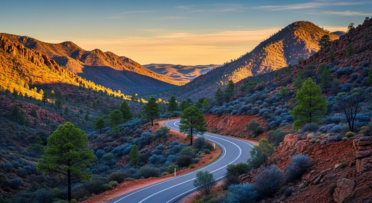
Postmark Track is a 12-kilometre track in the SA arid zone near the New South Wales border - one of the more demanding accessible tracks in the state. The Grade 4-5 difficulty and elevated Recovery Risk Index of 6.48 reflect both the technical sand and clay terrain and the extreme distance from any services. The landscape is a mix of mallee scrub, saltbush flats and sand ridge country transitioning toward the semi-arid plains around Broken Hill. Very few 4WD tracks penetrate this region compared to the more famous Flinders or the sealed Outback highways, which means the tracks that do exist see minimal traffic and minimal maintenance. Satellite communications are mandatory. Fuel is available in Broken Hill to the east or Renmark to the west, but distances are extreme either way. Full expedition preparation is the baseline: recovery gear, minimum 20 litres of water per person, spare tyre, and a detailed route plan lodged with someone reliable. Summer is not an option. Broken Hill across the border is one of Australia's best outback destination towns. The silver mining city has the Pro Hart gallery, an excellent city art gallery, and the Line of Lode mine site that tells the story of BHP's origins. Mutawintji National Park northeast of Broken Hill has remarkable Aboriginal rock art and gorge country that ranks among the most significant cultural sites in inland Australia.
Postmark Track is a 12-kilometre track in the SA arid zone near the New South Wales border - one of the more demanding accessible tracks in the state.
Why this road

The region
The arid zone near the South Australia-New South Wales border is some of the most remote accessible country in southeastern Australia. The landscape is a mix of mallee scrub, saltbush flats and sand ridge country transitioning toward the semi-arid plains around Broken Hill. Very few 4WD tracks penetrate this region compared to the more famous Flinders or Outback highways.

Before you go
Fuel in Broken Hill (NSW) or Renmark (SA) - distances are extreme either way. Satellite comms are mandatory. Full expedition preparation: recovery gear, extra water, spare tyre, and a detailed route plan lodged with someone reliable. Avoid in summer.
See a routing error?
Flag itWorth stopping for
Broken Hill, NSW
The silver mining city east of the border is one of Australia's best outback destination towns - Pro Hart gallery, Broken Hill City Art Gallery and the line of lode mine site.
Mutawintji National Park
Remarkable Aboriginal rock art and gorge system northeast of Broken Hill - one of the most significant cultural sites in inland Australia.
Route
Start
SA outback near NSW border
End
Postmark Track east
Gallery

More roads like this