Patroni Road
9.5 km
distance
1h 10m
Contour time
2.4
avg score
Unsealed
surface
Scenery
Western Australia
The WA Wheatbelt around Merredin is one of Australia's most productive cereal grain regions. The landscape is a mix of...
Road quality
2.4 RQS
Every segment scored on 40+ data signals.
Accessibility
Fully sealed
Best in 4WD. Peak season: Autumn-Spring.
7-day forecast
High difficulty WA Wheatbelt track with granite and loam terrain. High clearance and low-range required for the rocky sections. Good dry-season track in the WA inland.
Scored 2.4/10 by Contour's road quality algorithm across curviness, surface, elevation and traffic. Best suited for 4wd drivers.
The road
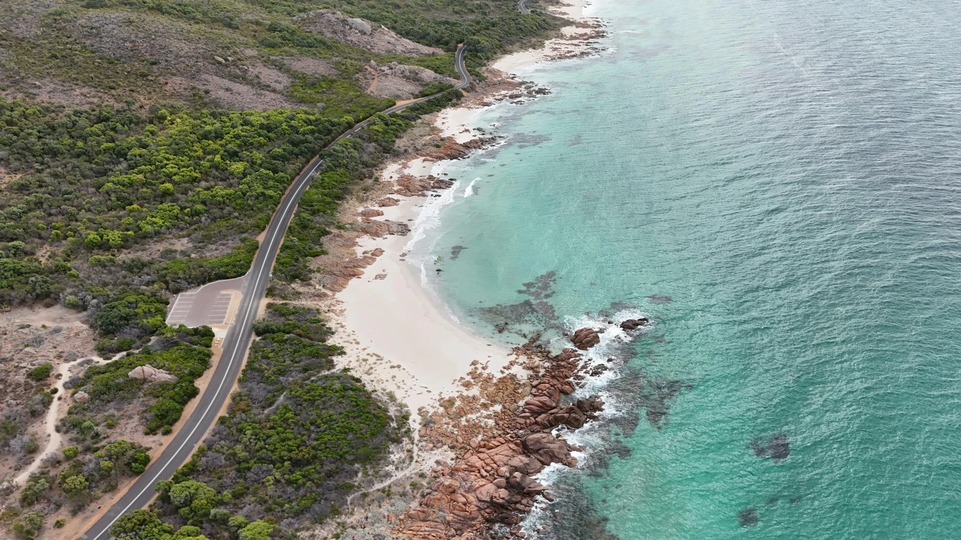
Patroni Road runs through the WA Wheatbelt fringe country near Merredin, where the cleared agricultural land meets the remnant bush and ancient granite outcrops of the Yilgarn Craton. The Yilgarn Craton underlies much of southern WA and breaks the surface at many points through the Wheatbelt, creating the characteristic breakaways and granite landforms that define this country. The driving is rocky and technical - high clearance and low-range are required for the granite sections. The landscape is a mix of red loam tracks, embedded rock and the open pastoral character of the WA inland. In summer the Wheatbelt reaches 40 degrees regularly and the track is best avoided. Autumn through spring is the reliable window. Wave Rock near Hyden, 170 kilometres south of Merredin, is one of WA s most visited natural features - a 15-metre high granite face curved like a breaking wave by millions of years of weathering. The Merredin military museum documents the extensive wartime use of the district as a defence position. The track itself is accessible from the Great Eastern Highway corridor, making it a viable addition to a Perth-Kalgoorlie trip.
Patroni Road runs through the WA Wheatbelt fringe country near Merredin, where the cleared agricultural land meets the remnant bush and ancient granite outcrops of the Yilgarn Craton.
Why this road

The region
The WA Wheatbelt around Merredin is one of Australia's most productive cereal grain regions. The landscape is a mix of cleared agricultural land and remnant granite outcrops - the ancient Yilgarn Craton granite that underlies much of southern WA breaks the surface at many points in the Wheatbelt, creating the characteristic 'breakaways' and wave rock formations. The track passes through pastoral fringe country between the grain properties.

Before you go
Fuel in Merredin. Good dry-season track. Summer can be extremely hot - 40°C days are common December through February. Standard recovery kit adequate.
See a routing error?
Flag itWorth stopping for
Wave Rock, Hyden
The wave-shaped granite formation 170km south of Merredin is one of WA's most visited natural features - the 15-metre high rock face curves like a breaking wave.
Merredin military museum
The Merredin WWII military museum documents the extensive wartime use of the Merredin district as a defence position against potential Japanese invasion - one of the better free regional museums in WA.
Route
Start
Southern Wheatbelt, Merredin
End
Patroni Road end
Gallery

More roads like this