Old Pacific Highway
38 km
distance
45 min
Contour time
6.9
avg score
Sealed
surface
Scenery
New South Wales
The Hawkesbury River marks the northern edge of Sydney's metropolitan sprawl and the transition to the Central Coast....
Road quality
6.9 RQS
Every segment scored on 40+ data signals.
Accessibility
Fully sealed
Best in Motorbike & Rally. Peak season: Year-round.
7-day forecast
The definitive Sydney motorcycle road. Constant corners, consistent surface, 60-80 km/h limits. The 30:1 motorbike-to-car ratio on weekends tells you everything. Sports cars enjoy it but the corners are tighter than most car drivers expect.
Scored 6.9/10 by Contour's road quality algorithm across curviness, surface, elevation and traffic. Best suited for motorbike & rally drivers.
The road
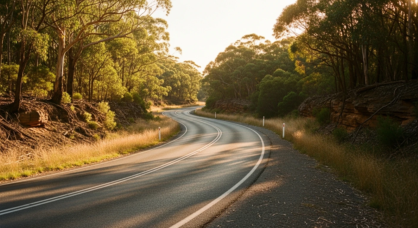
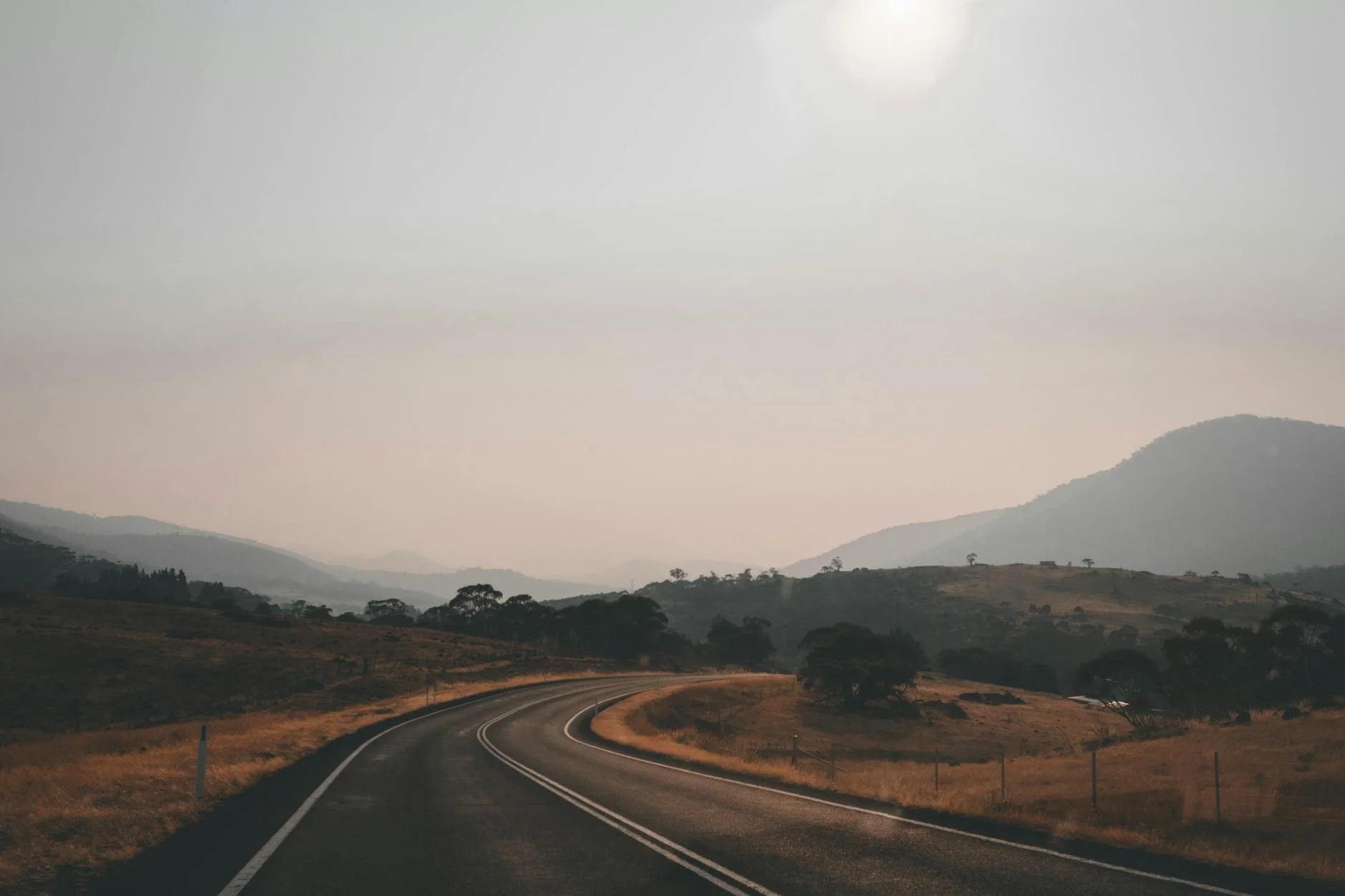
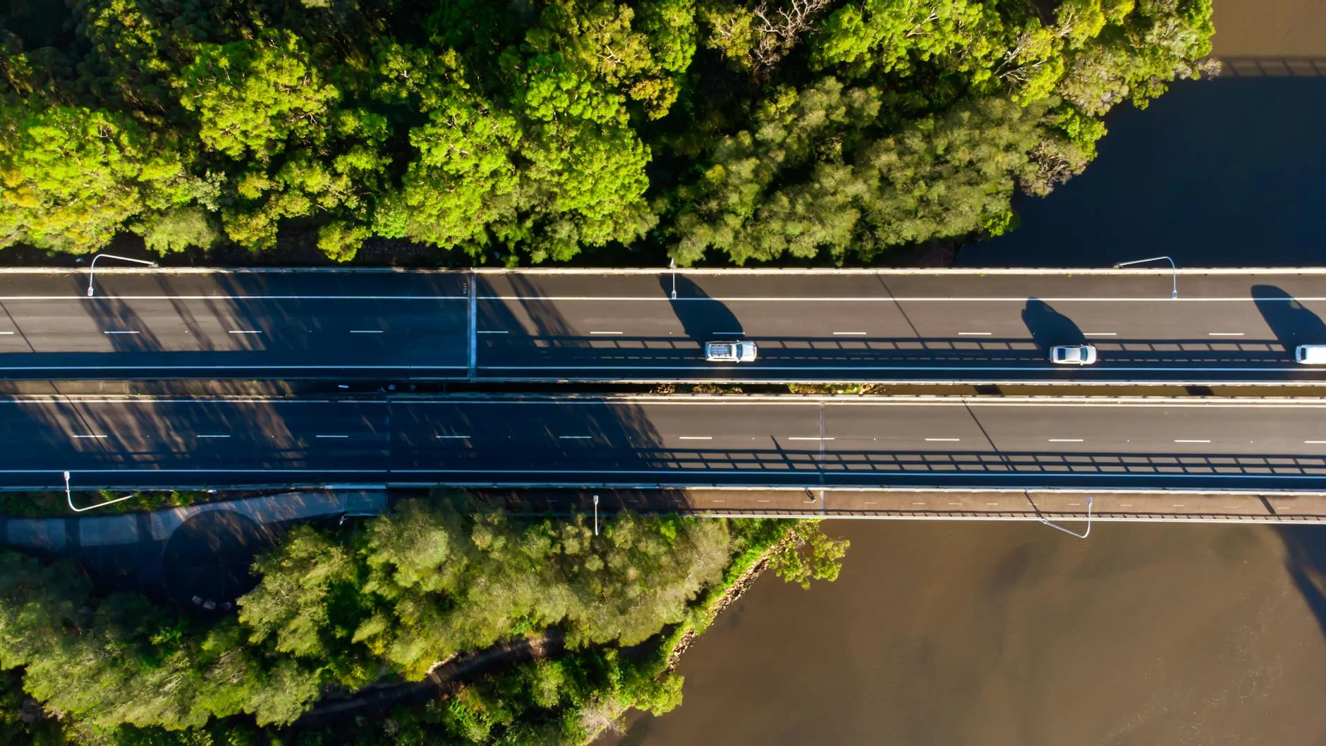
The Old Pacific Highway - known simply as 'the Old Road' to Sydney motorcyclists - is the original highway between Sydney and the Central Coast, bypassed by the M1 motorway decades ago and now essentially a dedicated recreational road. The 38-kilometre run from Cowan to Kariong winds through Hawkesbury River bushland, crossing the river at Brooklyn before climbing through Mooney Mooney, Mount White and Calga. The corners are constant and well-maintained. The speed limits sit at 60-80 km/h, which on this road is genuinely adequate - the bends are tight enough that most riders find the limit more useful than restrictive. The road carries almost no commuter traffic because the motorway is faster for anyone who just wants to get somewhere. What remains is recreational traffic - overwhelmingly motorcycles on weekends, with a handful of sports cars and cyclists mixed in. The section from Cowan down to Brooklyn drops through thick bushland to the Hawkesbury River. The climb from Brooklyn through Mooney Mooney to Mount White is the technical heart of the road - tight, cambered, well-surfaced bends through eucalypt forest with the occasional view back to the river. The final run from Calga to Kariong opens up slightly but maintains the rhythm.
Why this road
The region
The Hawkesbury River marks the northern edge of Sydney's metropolitan sprawl and the transition to the Central Coast. Cowan at the southern end is a small railway village on the edge of Ku-ring-gai Chase National Park. Brooklyn sits on the Hawkesbury River with a marina, a pub and the Riverboat Postman ferry that delivers mail to river settlements. Kariong at the northern end is a Central Coast suburb on the edge of Brisbane Water National Park. The bush through this section is dry sclerophyll - angophora, scribbly gum and red bloodwood - and the understory is thick enough to give the road a genuine enclosed feeling.
Before you go
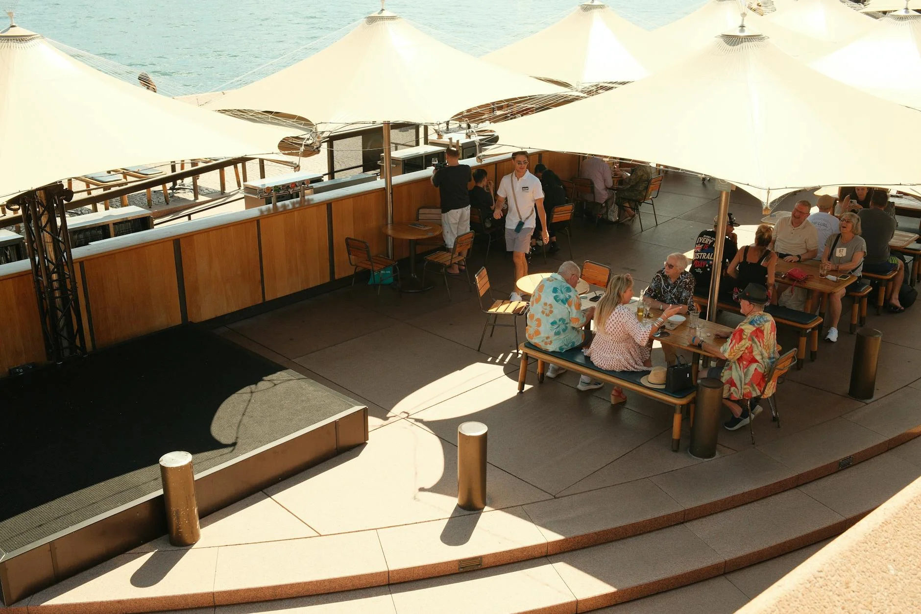
Fuel at Cowan and Kariong. The road is fully sealed and open year-round. Weekend mornings are busy with motorcycles - particularly between 9am and noon on Sundays. The speed cameras are well-known and frequently active. Police patrols are common on weekends. The road surface is good throughout but oil and gravel collect at the apex of popular corners. Brooklyn is worth a stop for lunch at the Anglers Rest pub on the river.
See a routing error?
Flag itWorth stopping for
Brooklyn and the Hawkesbury River
Stop at Brooklyn for lunch at the Anglers Rest or catch the Riverboat Postman ferry that delivers mail to riverside settlements - a genuinely unique experience.
Ku-ring-gai Chase National Park
Accessible from the Cowan end. West Head lookout has one of the best harbour views in Sydney - better than many of the famous ones.
Route
Start
Cowan
End
Kariong
Gallery