Mersey Forest Road
21 km
distance
20 min
Contour time
7.6
avg score
Sealed
surface
Scenery
Tasmania
The Mersey Forest area sits in central-north Tasmania, on the plateau above the Mersey River gorge. The forest is a mix...
Road quality
7.6 RQS
Strong. Above average on most quality signals.
Accessibility
Fully sealed
Best in Sports car. Peak season: Year-round.
7-day forecast
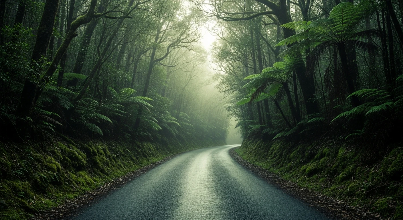
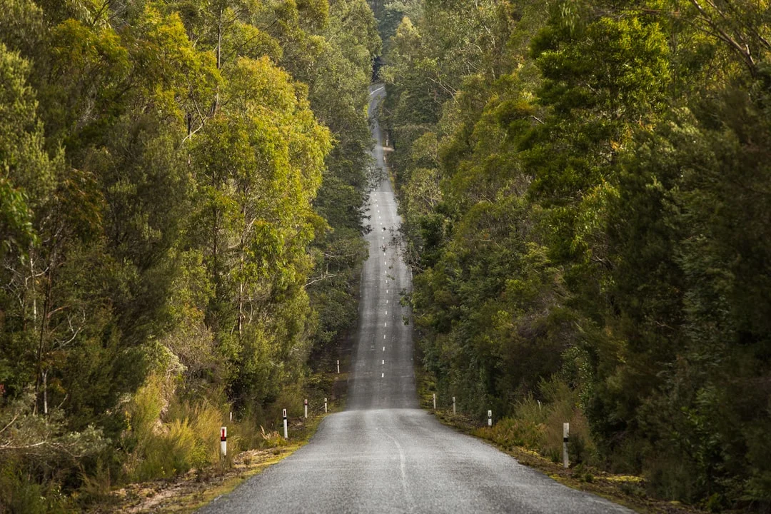
Excellent asphalt through central Tasmania's tall eucalypt forest with constant tight corners. Sports car or motorbike are the right tools. The road climbs steadily - brake management on the descent. Surfaces can carry moisture from forest shadow year-round.
Scored 7.6/10 by Contour's road quality algorithm across curviness, surface, elevation and traffic. Best suited for sports car drivers.
The road
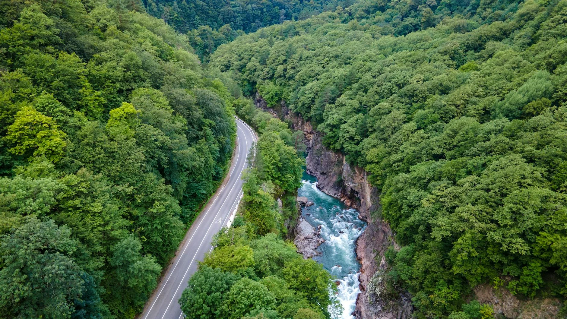
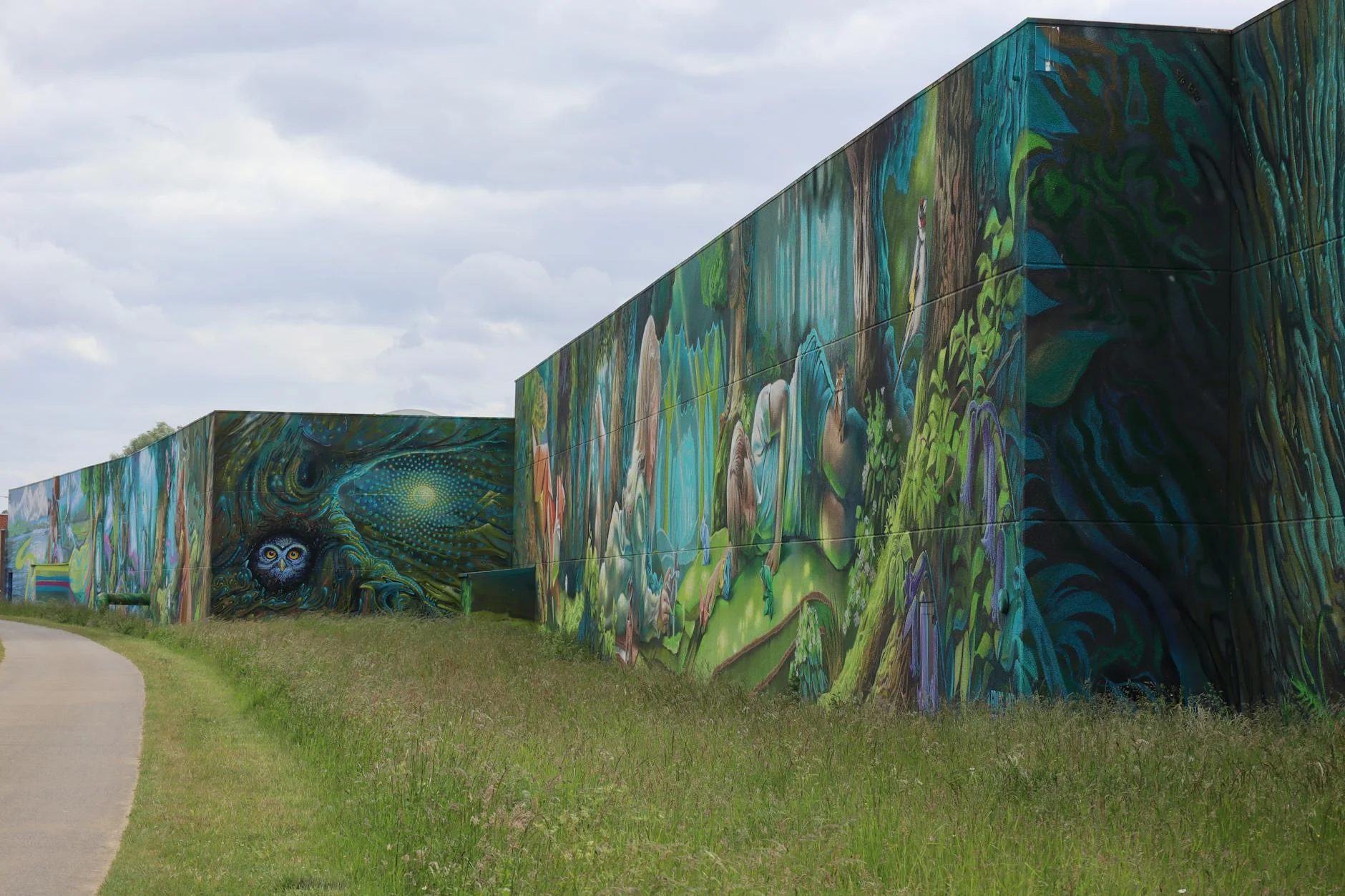
Mersey Forest Road is a 21-kilometre sealed climb through central Tasmania's tall eucalypt forest above the Mersey River gorge. The road was built as forestry infrastructure and retains the character of a working road - tight corners, narrow shoulders, and logging trucks on weekdays. What it also delivers is excellent asphalt through forest that transitions from tall eucalypt to rainforest understorey as the road gains elevation. The corners are constant and the forest is dense enough to block all distant views - the driving is entirely about the road and the trees. The Mersey River below feeds into Lake Rowallan as part of the Hydro Tasmania scheme. Sheffield 40 minutes north is the town of outdoor murals painted on its buildings and makes a good lunch stop. This road suits drivers who are comfortable with occasional oncoming trucks and reward tight forest driving.
Mersey Forest Road is a 21-kilometre sealed climb through central Tasmania's tall eucalypt forest above the Mersey River gorge.
Why this road
The region
The Mersey Forest area sits in central-north Tasmania, on the plateau above the Mersey River gorge. The forest is a mix of tall eucalypt and rainforest understorey - the same mix that made this area one of Tasmania's most productive timber regions in the 20th century. The Mersey River feeds into Lake Rowallan downstream as part of the Hydro Tasmania scheme.
Before you go
Fuel in Deloraine (40 km north) or Sheffield. Road is sealed and open year-round. Logging trucks are present on weekdays - the road is still operational forestry infrastructure. Give them space on blind corners. Surface in good condition. Mobile coverage is limited.
See a routing error?
Flag itWorth stopping for
Lake Rowallan
A large Hydro Tasmania storage lake 30 minutes south - good trout fishing and remote camping.
Sheffield
The town of outdoor murals painted on its buildings - a quick detour on the way home and worth 20 minutes.
Route
Start
Liawenee junction
End
Mersey Forest
Gallery
More roads like this