Bells Line of Road
59 km
distance
1h 5m
Contour time
5.0
avg score
Sealed
surface
1000m
max elevation
+750m
total climb
Scenery
1000m elevation
The northern Blue Mountains are quieter and more agricultural than the southern tourist corridor around Katoomba. The...
Road quality
5.0 RQS
Every segment scored on 40+ data signals.
Accessibility
Fully sealed
Best in Sports car. Peak season: Year-round.
7-day forecast
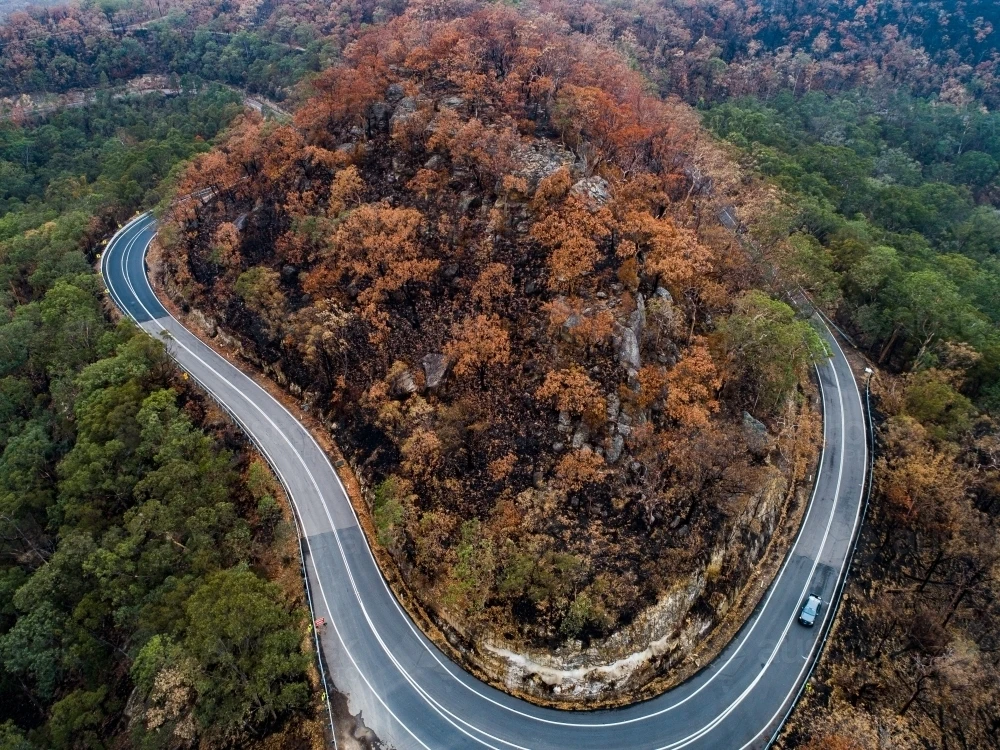
Rolling hills and consistent curves through the northern Blue Mountains. More technical than the Great Western Highway with better scenery and less truck traffic. The rhythm of the corners suits sports cars that like to stay loaded.
Scored 5.0/10 by Contour's road quality algorithm across curviness, surface, elevation and traffic. Best suited for sports car drivers.
The road
Bells Line of Road is the alternative Blue Mountains crossing that Sydney drivers prefer over the Great Western Highway. Where the highway follows the main ridge through Katoomba with its tourist traffic and traffic lights, Bells Line takes the northern route from Richmond through Bilpin and Mount Tomah to Bell - 59 kilometres of sealed road through orchards, tall eucalypt forest and the kind of rolling terrain that keeps a driver engaged without ever being intimidating. The road starts in the Hawkesbury flats at Richmond and climbs gradually through the Kurrajong Hills before entering the orchard country around Bilpin. Bilpin is famous for its apples and the cideries that have sprung up around the orchards in recent years. Beyond Bilpin the road climbs more steeply through tall eucalypt forest to Mount Tomah, where the Blue Mountains Botanic Garden occupies a basalt-capped ridge with views across the Grose Valley. This is the best lookout on the route and worth the stop. From Mount Tomah the road continues west to Bell, where it connects to the Darling Causeway and eventually the Great Western Highway near Lithgow. The road is hillier and more winding than the Great Western Highway and carries significantly less traffic. Sydney motorcyclists have used it as a weekend ride for decades.
Bells Line of Road is the alternative Blue Mountains crossing that Sydney drivers prefer over the Great Western Highway.
Why this road
The region
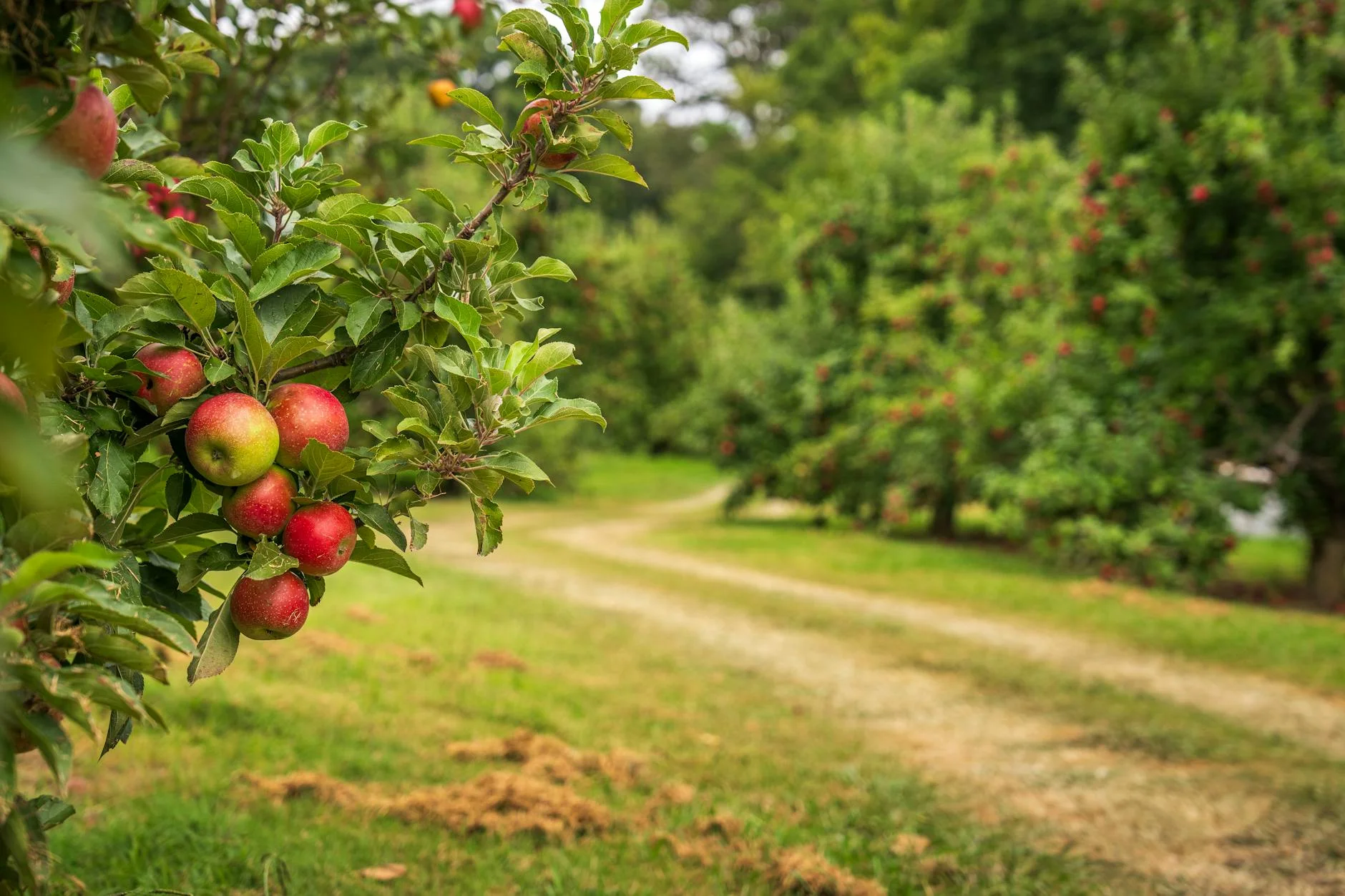
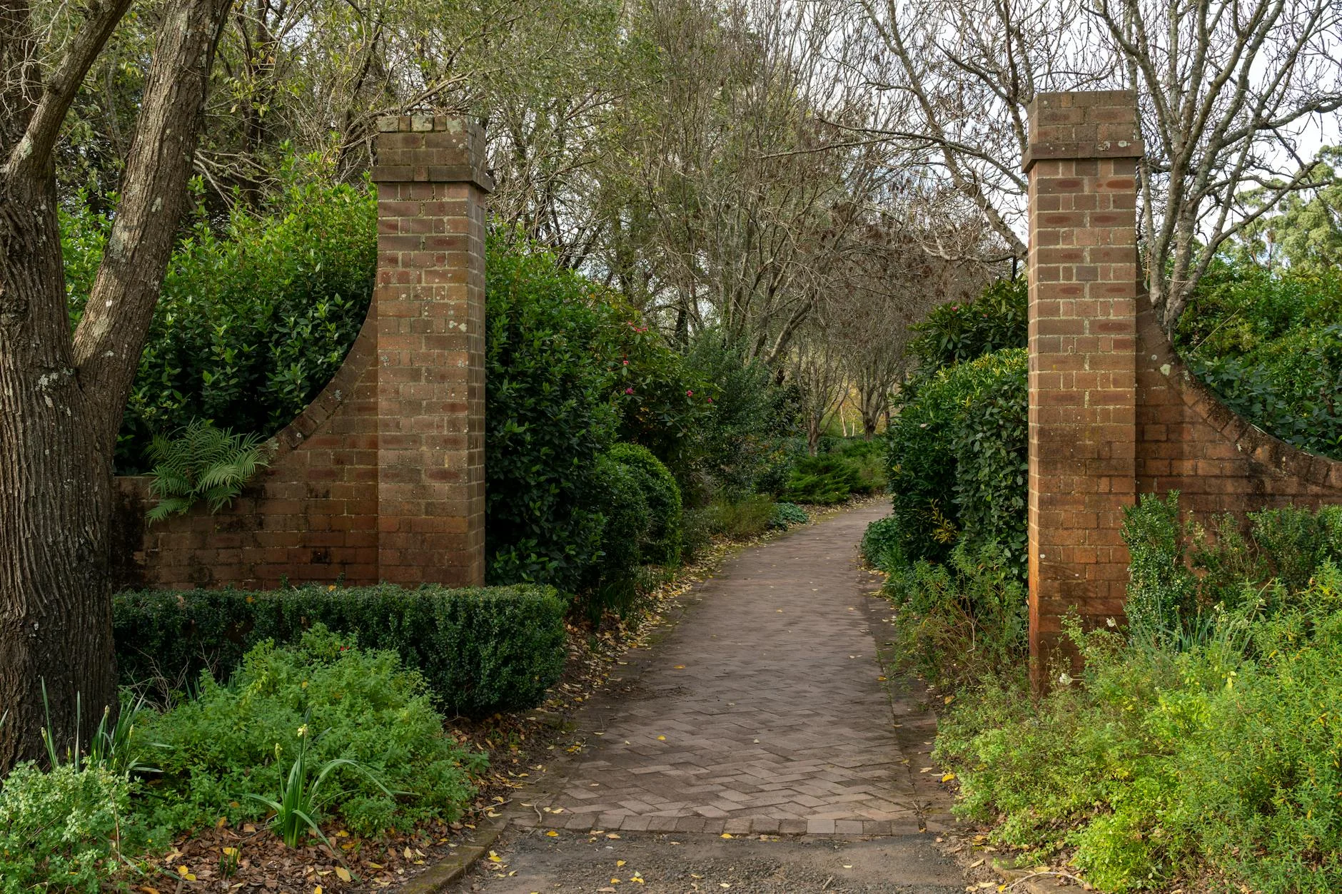
The northern Blue Mountains are quieter and more agricultural than the southern tourist corridor around Katoomba. The Hawkesbury River valley at the eastern end is one of the oldest agricultural regions in Australia. Bilpin sits in a fertile basin at about 600 metres, surrounded by apple and stone fruit orchards planted since the 1920s. Mount Tomah at 1,000 metres has the cool-climate botanic garden that complements the Royal Botanic Gardens in Sydney. Bell at the western end is a small settlement at the junction with the Darling Causeway - the transition point from the mountains to the western slopes.
Before you go
Fuel at Richmond and Bell. Bilpin has a service station but check opening hours on weekends. The road is fully sealed and open year-round. Fog is common above 800 metres in winter mornings. The road carries some truck traffic but significantly less than the Great Western Highway. The Bilpin to Mount Tomah section is the most engaging for driving. Allow 65-75 minutes end to end. The Blue Mountains Botanic Garden at Mount Tomah is free entry and worth at least 30 minutes.
See a routing error?
Flag itWorth stopping for
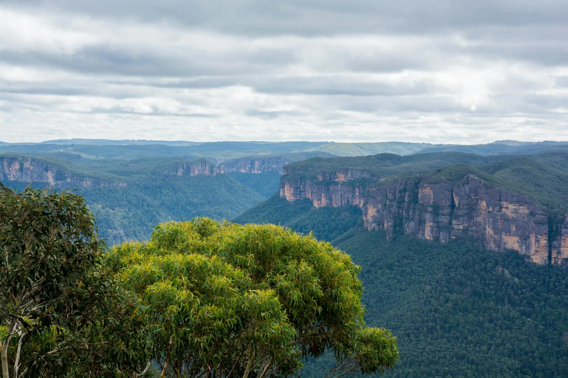
Blue Mountains Botanic Garden, Mount Tomah
A cool-climate botanic garden on a basalt ridge with views across the Grose Valley. Free entry. Worth 30-60 minutes.
Bilpin cideries
Several apple cideries operate along the road through Bilpin - Hillbilly Cider and Willie Smith are the best known. Tastings available.
Grose Valley lookout
Several informal lookout points along the road near Mount Tomah offer views into the Grose Valley wilderness - one of the deepest and least accessible canyons in the Blue Mountains.
Route
Start
Richmond
End
Bell
Gallery
More roads like this